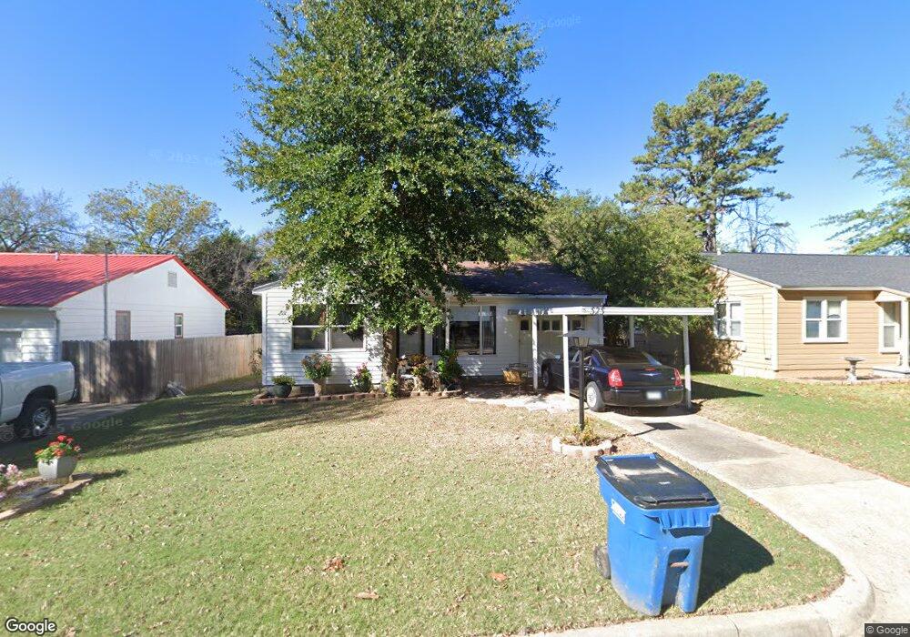
525 S 12th St McAlester, OK 74501
Estimated Value: $52,000 - $111,000
2
Beds
1
Bath
1,050
Sq Ft
$70/Sq Ft
Est. Value
About This Home
This home is located at 525 S 12th St, McAlester, OK 74501 and is currently estimated at $73,710, approximately $70 per square foot. 525 S 12th St is a home located in Pittsburg County with nearby schools including McAlester High School, Mcalester Christian Academy, and Lakewood Christian School.
Ownership History
Date
Name
Owned For
Owner Type
Purchase Details
Closed on
Apr 29, 2021
Sold by
Wylie Ramona
Bought by
Welch Harold and Welch Linda
Current Estimated Value
Home Financials for this Owner
Home Financials are based on the most recent Mortgage that was taken out on this home.
Original Mortgage
$34,920
Outstanding Balance
$25,152
Interest Rate
3%
Mortgage Type
New Conventional
Estimated Equity
$48,558
Purchase Details
Closed on
Jul 11, 1996
Sold by
Rounsaville
Bought by
Wylie
Create a Home Valuation Report for This Property
The Home Valuation Report is an in-depth analysis detailing your home's value as well as a comparison with similar homes in the area
Purchase History
| Date | Buyer | Sale Price | Title Company |
|---|---|---|---|
| Welch Harold | $36,000 | First American Title Ins Co | |
| Wylie | $33,500 | -- |
Source: Public Records
Mortgage History
| Date | Status | Borrower | Loan Amount |
|---|---|---|---|
| Open | Welch Harold | $34,920 |
Source: Public Records
Tax History
| Year | Tax Paid | Tax Assessment Tax Assessment Total Assessment is a certain percentage of the fair market value that is determined by local assessors to be the total taxable value of land and additions on the property. | Land | Improvement |
|---|---|---|---|---|
| 2025 | $260 | $3,960 | $889 | $3,071 |
| 2024 | $260 | $3,961 | $851 | $3,110 |
| 2023 | $260 | $3,960 | $749 | $3,211 |
| 2022 | $259 | $3,960 | $749 | $3,211 |
| 2021 | $347 | $4,994 | $945 | $4,049 |
| 2020 | $297 | $3,388 | $699 | $2,689 |
| 2019 | $260 | $3,388 | $708 | $2,680 |
| 2018 | $248 | $3,073 | $642 | $2,431 |
| 2017 | $238 | $2,927 | $611 | $2,316 |
| 2016 | $226 | $2,787 | $582 | $2,205 |
| 2015 | $197 | $2,655 | $444 | $2,211 |
| 2014 | $197 | $2,655 | $444 | $2,211 |
Source: Public Records
Map
Nearby Homes
- 610 S Strong Blvd
- 1025 E Seminole Ave
- 705 S Strong Blvd
- 415 S 12th St
- 0 E Seminole Ave
- 1309 E Seminole Ave
- 718 S 12th St
- 1004 E Osage Ave
- 911 S Strong Blvd
- 0 S 14th St
- 730 S 9th St
- 903 E Wyandotte
- 0 Chickasaw Ave Unit 2607774
- 803 E Delaware Ave
- 724 E Delaware Ave
- 810 E Osage Ave
- 1508 E Comanche Ave
- 1507 E Seminole Ave
- 410 S 7th St
- 0 E Chickasaw Ave
- 523 S 12th St
- 527 S 12th St
- 521 S 12th St
- 529 S 12th St
- 520 S Strong Blvd
- 518 S Strong Blvd
- 1201 E Comanche Ave
- 524 S Strong Blvd
- 1116 E Kiowa Ave
- 1112 E Kiowa Ave
- 524 S 12th St
- 1108 E Kiowa Ave
- 1140 E Comanche Ave
- 613 S 12th St
- 1203 E Comanche Ave
- 1104 E Kiowa Ave
- 1108 E Comanche Ave
- 1205 E Comanche Ave
- 615 S 12th St
- 500 S Strong Blvd
Your Personal Tour Guide
Ask me questions while you tour the home.