525 Vankirk Rd Washington, PA 15301
Estimated Value: $195,000 - $297,000
3
Beds
2
Baths
1,196
Sq Ft
$193/Sq Ft
Est. Value
About This Home
This home is located at 525 Vankirk Rd, Washington, PA 15301 and is currently estimated at $231,204, approximately $193 per square foot. 525 Vankirk Rd is a home located in Washington County with nearby schools including Trinity Senior High School.
Ownership History
Date
Name
Owned For
Owner Type
Purchase Details
Closed on
Mar 28, 2025
Sold by
Nchi Holdings Llc
Bought by
Red And Black Land Llc
Current Estimated Value
Purchase Details
Closed on
May 27, 2021
Sold by
Noble Barbara Jo
Bought by
Nchi Holdings Llc
Purchase Details
Closed on
Oct 22, 2003
Sold by
Miller Gladys V
Bought by
Mccord John W
Create a Home Valuation Report for This Property
The Home Valuation Report is an in-depth analysis detailing your home's value as well as a comparison with similar homes in the area
Purchase History
| Date | Buyer | Sale Price | Title Company |
|---|---|---|---|
| Red And Black Land Llc | $5,500 | None Listed On Document | |
| Nchi Holdings Llc | $20,000 | None Available | |
| Mccord John W | $80,000 | -- |
Source: Public Records
Tax History
| Year | Tax Paid | Tax Assessment Tax Assessment Total Assessment is a certain percentage of the fair market value that is determined by local assessors to be the total taxable value of land and additions on the property. | Land | Improvement |
|---|---|---|---|---|
| 2025 | $2,536 | $140,900 | $53,600 | $87,300 |
| 2024 | $2,319 | $140,900 | $53,600 | $87,300 |
| 2023 | $2,319 | $140,900 | $53,600 | $87,300 |
| 2022 | $2,319 | $140,900 | $53,600 | $87,300 |
| 2021 | $2,253 | $140,900 | $53,600 | $87,300 |
| 2020 | $2,091 | $140,900 | $53,600 | $87,300 |
| 2019 | $2,153 | $140,900 | $53,600 | $87,300 |
| 2018 | $2,091 | $140,900 | $53,600 | $87,300 |
| 2017 | $220 | $140,900 | $53,600 | $87,300 |
| 2016 | $220 | $8,827 | $2,058 | $6,769 |
| 2015 | -- | $8,827 | $2,058 | $6,769 |
| 2014 | $220 | $8,827 | $2,058 | $6,769 |
| 2013 | $220 | $8,827 | $2,058 | $6,769 |
Source: Public Records
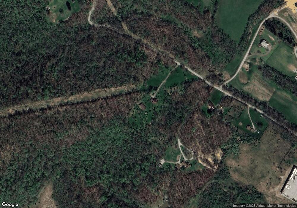
Map
Nearby Homes
- 300 Timberline Dr
- 120 Sugar Maple Cir
- 1040 Red Tail Hollow
- 102 Sycamore Ln
- 444 Franklin Farms Rd
- 860 Mounts Rd
- 1981 The Rd
- 3492 Route 40
- 314 Franklin Farms Rd
- 491 Franklin Terrace
- 1852 Virginia Viaduct
- 160 Franklin Farms Rd
- 395 S Palm St
- 1236 Overlook Dr
- 42 Strean St
- 200 E Buffalo Church Rd
- 902 Weirich Ave
- 000 Mckee Rd
- 861 Park Ave
- 195 Lacock St
Your Personal Tour Guide
Ask me questions while you tour the home.