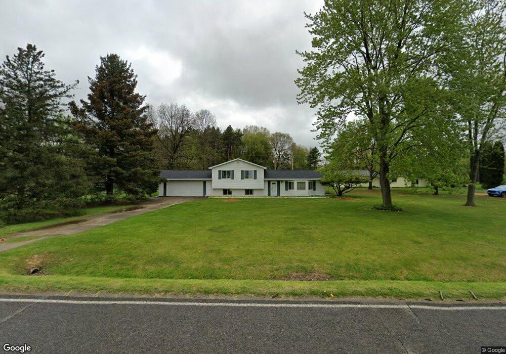
5256 E Cole Rd Bancroft, MI 48414
Estimated Value: $210,443 - $259,000
3
Beds
1
Bath
1,607
Sq Ft
$147/Sq Ft
Est. Value
About This Home
This home is located at 5256 E Cole Rd, Bancroft, MI 48414 and is currently estimated at $235,861, approximately $146 per square foot. 5256 E Cole Rd is a home located in Shiawassee County with nearby schools including Bertha Neal Elementary School, Robert Kerr School, and Durand Middle School.
Ownership History
Date
Name
Owned For
Owner Type
Purchase Details
Closed on
Jun 5, 2020
Sold by
Taylor Edward
Bought by
Taylor Edward L and The Edward L Taylor Iii Living Trust
Current Estimated Value
Purchase Details
Closed on
Mar 24, 2011
Sold by
Bank Of New York Melon
Bought by
Taylor Edward
Purchase Details
Closed on
May 20, 2010
Sold by
Gray David D and Gray Erin E
Bought by
Bank Of New York Mellon
Purchase Details
Closed on
Jun 16, 2004
Sold by
Hendershot Virgil D and Hendershot Virgil Dallas
Bought by
Gray David D
Home Financials for this Owner
Home Financials are based on the most recent Mortgage that was taken out on this home.
Original Mortgage
$109,000
Interest Rate
6.17%
Mortgage Type
Unknown
Create a Home Valuation Report for This Property
The Home Valuation Report is an in-depth analysis detailing your home's value as well as a comparison with similar homes in the area
Purchase History
| Date | Buyer | Sale Price | Title Company |
|---|---|---|---|
| Taylor Edward L | -- | None Available | |
| Taylor Edward | $22,000 | -- | |
| Bank Of New York Mellon | -- | -- | |
| Gray David D | $137,000 | Chicago Title |
Source: Public Records
Mortgage History
| Date | Status | Borrower | Loan Amount |
|---|---|---|---|
| Previous Owner | Gray David D | $109,000 |
Source: Public Records
Tax History
| Year | Tax Paid | Tax Assessment Tax Assessment Total Assessment is a certain percentage of the fair market value that is determined by local assessors to be the total taxable value of land and additions on the property. | Land | Improvement |
|---|---|---|---|---|
| 2025 | $1,732 | $90,300 | $0 | $0 |
| 2024 | $1,732 | $84,200 | $0 | $0 |
| 2023 | $584 | $81,900 | $0 | $0 |
| 2022 | $1,595 | $70,600 | $0 | $0 |
| 2021 | $1,507 | $63,500 | $0 | $0 |
| 2020 | $1,494 | $62,700 | $0 | $0 |
| 2019 | $1,259 | $52,900 | $0 | $0 |
| 2018 | $1,381 | $52,100 | $0 | $0 |
| 2017 | $1,326 | $47,600 | $0 | $0 |
| 2016 | $716 | $47,600 | $0 | $0 |
| 2015 | $716 | $42,700 | $0 | $0 |
| 2014 | $5 | $46,100 | $0 | $0 |
Source: Public Records
Map
Nearby Homes
- 5832 E Cole Rd
- 8502 S Vernon Rd
- 3300 E Lansing Rd
- 3824 Britton Rd
- 6640 Lemon Rd
- 8311 State Rd
- 8875 E Miller Rd
- 8390 E Pittsburg Rd
- 1583 E Lansing Rd
- vl Lehring Rd
- 402 W Perry St
- 00 W Lansing Rd
- 7960 Beard Rd
- 105 W John St
- 107 E John St
- 491 E Tyrrell Rd
- 409 N Lincoln St
- 609 S Kingswood St
- 11250 S New Lothrop Rd
- 103 N Mackinaw St
Your Personal Tour Guide
Ask me questions while you tour the home.