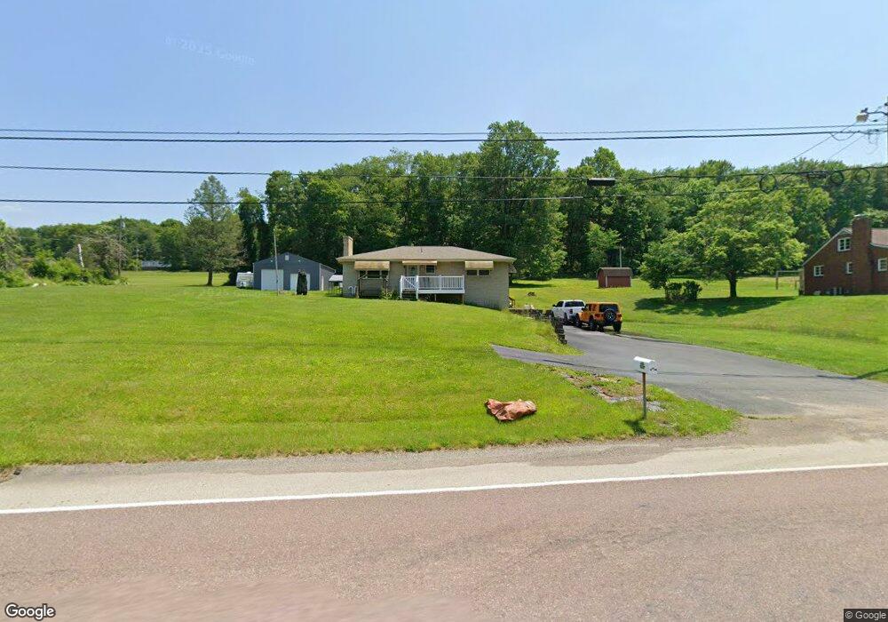
526 State Route 217 Latrobe, PA 15650
Estimated Value: $80,894 - $263,000
Studio
--
Bath
--
Sq Ft
47,916
Sq Ft Lot
About This Home
This home is located at 526 State Route 217, Latrobe, PA 15650 and is currently estimated at $179,724. 526 State Route 217 is a home located in Westmoreland County with nearby schools including Grace Bible Academy and Harvest Christian Academy.
Ownership History
Date
Name
Owned For
Owner Type
Purchase Details
Closed on
Jun 23, 2010
Sold by
Elliott Lois L and Lehman Lois
Bought by
Sessi John R
Current Estimated Value
Home Financials for this Owner
Home Financials are based on the most recent Mortgage that was taken out on this home.
Original Mortgage
$74,003
Outstanding Balance
$49,925
Interest Rate
5.5%
Mortgage Type
FHA
Estimated Equity
$129,799
Create a Home Valuation Report for This Property
The Home Valuation Report is an in-depth analysis detailing your home's value as well as a comparison with similar homes in the area
Home Values in the Area
Average Home Value in this Area
Purchase History
| Date | Buyer | Sale Price | Title Company |
|---|---|---|---|
| Sessi John R | $75,000 | None Available |
Source: Public Records
Mortgage History
| Date | Status | Borrower | Loan Amount |
|---|---|---|---|
| Open | Sessi John R | $74,003 |
Source: Public Records
Tax History
| Year | Tax Paid | Tax Assessment Tax Assessment Total Assessment is a certain percentage of the fair market value that is determined by local assessors to be the total taxable value of land and additions on the property. | Land | Improvement |
|---|---|---|---|---|
| 2026 | $2,139 | $17,210 | $3,700 | $13,510 |
| 2025 | $2,139 | $17,210 | $3,700 | $13,510 |
| 2024 | $2,139 | $17,210 | $3,700 | $13,510 |
| 2023 | $2,019 | $17,210 | $3,700 | $13,510 |
| 2022 | $2,001 | $17,210 | $3,700 | $13,510 |
| 2021 | $2,001 | $17,210 | $3,700 | $13,510 |
| 2020 | $1,967 | $17,210 | $3,700 | $13,510 |
| 2019 | $1,924 | $17,210 | $3,700 | $13,510 |
| 2018 | $1,838 | $17,210 | $3,700 | $13,510 |
| 2017 | $1,790 | $17,210 | $3,700 | $13,510 |
| 2016 | $1,712 | $17,210 | $3,700 | $13,510 |
| 2015 | $1,712 | $17,210 | $3,700 | $13,510 |
| 2014 | $1,712 | $17,210 | $3,700 | $13,510 |
Source: Public Records
Map
Nearby Homes
- 147 N Valley St
- 569 Sunview Cir
- 575 Sunview Cir
- 1224 W High St
- 504 Sunview Cir
- 409 S Summit St
- 509 S Summit St
- 629 S Summit St
- 793 Victoria Way
- 707 Victoria Way
- 604 W 4th Ave
- 715 Victoria Way
- 504 W 2nd Ave
- 765 Victoria Way
- 729 Victoria Way
- 423 W 1st Ave
- 5519 Pennsylvania 982
- 408 Highview St
- 418 Thorn Way
- 12 Highview St
- 526 Pennsylvania 217
- 534 State Route 217
- 522 State Route 217
- 527 State Route 217
- 538 State Route 217
- 516 State Route 217
- 539 Route 217
- 112 Off Rte Dr
- 515 State Route 217
- 510 State Route 217
- 111 Amber Dr
- 126 Diamond Dr
- 506 State Route 217
- 132 Diamond Dr
- 140 Diamond Dr
- 564 State Route 217
- 564 Pennsylvania 217
- 565 State Route 217
- 122 Diamond Dr
- 569 State Route 217
Your Personal Tour Guide
Ask me questions while you tour the home.