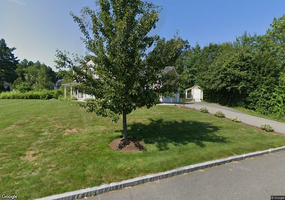
529 Roosevelt Dr Northbridge, MA 01534
Estimated Value: $733,000 - $846,000
About This Home
This home is located at 529 Roosevelt Dr, Northbridge, MA 01534 and is currently estimated at $778,273, approximately $353 per square foot. 529 Roosevelt Dr is a home with nearby schools including Northbridge Elementary School, Northbridge Middle School, and Northbridge High School.
Ownership History
We collect this data history from publicly available records. To have your information removed, we recommend requesting removal directly through your county’s website.
Purchase Details
Home Financials for this Owner
Home Financials are based on the most recent Mortgage that was taken out on this home.Home Values in the Area
Average Home Value in this Area
Purchase History
We collect this data history from publicly available records. To have your information removed, we recommend requesting removal directly through your county’s website.
| Date | Buyer | Sale Price | Title Company |
|---|---|---|---|
| $391,900 | -- | ||
| $391,900 | -- | ||
| $391,900 | -- |
Mortgage History
We collect this data history from publicly available records. To have your information removed, we recommend requesting removal directly through your county’s website.
| Date | Status | Borrower | Loan Amount |
|---|---|---|---|
| Open | $372,305 | ||
| Closed | $372,305 |
Tax History
We collect this data history from publicly available records. To have your information removed, we recommend requesting removal directly through your county’s website.
| Year | Tax Paid | Tax Assessment Tax Assessment Total Assessment is a certain percentage of the fair market value that is determined by local assessors to be the total taxable value of land and additions on the property. | Land | Improvement |
|---|---|---|---|---|
| 2025 | $7,943 | $673,700 | $197,400 | $476,300 |
| 2024 | $7,643 | $632,200 | $197,400 | $434,800 |
| 2023 | $7,329 | $565,500 | $174,600 | $390,900 |
| 2022 | $7,021 | $509,900 | $134,300 | $375,600 |
| 2021 | $7,032 | $485,300 | $127,800 | $357,500 |
| 2020 | $6,502 | $469,800 | $127,800 | $342,000 |
| 2019 | $5,896 | $454,600 | $127,800 | $326,800 |
| 2018 | $5,734 | $443,100 | $121,600 | $321,500 |
| 2017 | $5,669 | $419,000 | $121,600 | $297,400 |
| 2016 | $5,625 | $409,100 | $115,400 | $293,700 |
| 2015 | $5,135 | $383,800 | $115,400 | $268,400 |
| 2014 | $5,089 | $383,800 | $115,400 | $268,400 |
Map
- 320 Lincoln Cir
- 206 Washington St
- 399 Providence Rd Unit A
- 4 Brookmeadow Ln
- 319 Providence Rd Unit 319B
- 110 Chipper Hill Rd
- 57 Depot St
- 37 Aspen Ave
- 229 & 225 Providence Rd
- 172 Sutton St
- 2 Klondike Rd
- 111 Lea Ave
- 2428-2430 Providence Rd
- 11 Summerfield Dr
- 26 Summerfield Dr Unit 17
- 21 Seaver Farm Ln
- 8 River Ave
- 277 Providence Rd Unit A
- 277 Providence Rd Unit B
- 274 Providence Rd Unit 5
- 63 Wilson St
- 524 Roosevelt Dr
- 86 Wilson St
- 98 Wilson St
- 547 Roosevelt Dr
- 52 Wilson St
- 516 Roosevelt Dr
- 35 Wilson St
- 565 Roosevelt Dr
- 28 Wilson St
- L55 Roosevelt Dr
- 488 Roosevelt Dr
- 192 Lincoln Cir
- 573 Roosevelt Dr
- 442 Roosevelt Dr
- 16 Wilson St
- 224 Lincoln Cir
- 451 Roosevelt Dr
- 106 Lincoln Cir
- 460 Roosevelt Dr
Ask me questions while you tour the home.