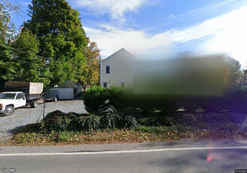
53 Howlands Ln Kingston, MA 02364
Estimated Value: $805,000 - $946,000
3
Beds
3
Baths
1,900
Sq Ft
$448/Sq Ft
Est. Value
About This Home
This home is located at 53 Howlands Ln, Kingston, MA 02364 and is currently estimated at $850,776, approximately $447 per square foot. 53 Howlands Ln is a home located in Plymouth County with nearby schools including Kingston Elementary School, Silver Lake Regional High School, and Kingston Intermediate School.
Ownership History
Date
Name
Owned For
Owner Type
Purchase Details
Closed on
Oct 18, 2023
Sold by
Lansing Brett C and Lansing Rachel L
Bought by
Lansing Ft and Lansing
Current Estimated Value
Purchase Details
Closed on
Jun 13, 2011
Sold by
Lansing Richard F
Bought by
Lansing Brett C and Lansing Rahcel L
Home Financials for this Owner
Home Financials are based on the most recent Mortgage that was taken out on this home.
Original Mortgage
$163,500
Interest Rate
4.81%
Mortgage Type
Purchase Money Mortgage
Purchase Details
Closed on
Jul 30, 2010
Sold by
Ljs Rt and Sullivan
Bought by
Lansing Brett C and Lansing Rachel
Create a Home Valuation Report for This Property
The Home Valuation Report is an in-depth analysis detailing your home's value as well as a comparison with similar homes in the area
Home Values in the Area
Average Home Value in this Area
Purchase History
| Date | Buyer | Sale Price | Title Company |
|---|---|---|---|
| Lansing Ft | -- | None Available | |
| Lansing Brett C | -- | -- | |
| Lansing Brett C | $132,000 | -- |
Source: Public Records
Mortgage History
| Date | Status | Borrower | Loan Amount |
|---|---|---|---|
| Previous Owner | Lansing Brett C | $163,500 |
Source: Public Records
Tax History
| Year | Tax Paid | Tax Assessment Tax Assessment Total Assessment is a certain percentage of the fair market value that is determined by local assessors to be the total taxable value of land and additions on the property. | Land | Improvement |
|---|---|---|---|---|
| 2025 | $8,713 | $671,800 | $202,600 | $469,200 |
| 2024 | $7,996 | $629,100 | $202,600 | $426,500 |
| 2023 | $7,658 | $573,200 | $202,600 | $370,600 |
| 2022 | $7,535 | $516,800 | $192,200 | $324,600 |
| 2021 | $7,070 | $439,700 | $160,200 | $279,500 |
| 2020 | $6,994 | $429,600 | $160,200 | $269,400 |
| 2019 | $6,849 | $416,100 | $160,200 | $255,900 |
| 2018 | $6,346 | $385,800 | $160,200 | $225,600 |
| 2017 | $5,412 | $328,000 | $142,700 | $185,300 |
| 2016 | $5,213 | $296,000 | $130,400 | $165,600 |
| 2015 | $5,062 | $298,800 | $130,400 | $168,400 |
| 2014 | $5,031 | $301,600 | $130,400 | $171,200 |
Source: Public Records
Map
Nearby Homes
- 9 Cole St
- Lot 17-3 Howlands Ln
- 24 Chilton Ave
- 13 Atwood St
- 17 Howlands Ln
- 94 Main St
- 12 Smiths Ln
- 40 Landing Rd
- 92 Ocean Hill Dr
- 23 Schofield Rd
- 406-408 Court St
- 14 Orchard Ave
- 393 Court St Unit 3
- 393 Court St Unit 5
- 393 Court St Unit 7
- 393 Court St Unit 1
- 5-7 Forest Ave
- 13 Forest Ave
- 111 Loring St
- 44 Seabury Point Rd
Your Personal Tour Guide
Ask me questions while you tour the home.