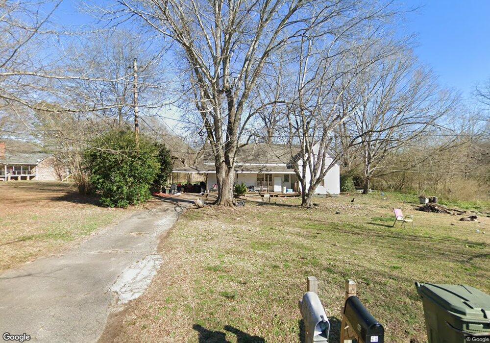
53 Sixth St Carlton, GA 30627
Estimated Value: $137,130 - $227,000
Studio
1
Bath
1,431
Sq Ft
$136/Sq Ft
Est. Value
About This Home
This home is located at 53 Sixth St, Carlton, GA 30627 and is currently estimated at $195,033, approximately $136 per square foot. 53 Sixth St is a home located in Madison County with nearby schools including Madison County High School.
Ownership History
Date
Name
Owned For
Owner Type
Purchase Details
Closed on
Aug 18, 2020
Sold by
Walls Natalie
Bought by
Walls Sylvia J
Current Estimated Value
Purchase Details
Closed on
Jun 24, 2003
Sold by
Adams Eric S
Bought by
Walls Natalie
Purchase Details
Closed on
Oct 7, 2002
Sold by
Adams Chritina
Bought by
Adams Eric S
Purchase Details
Closed on
Jan 4, 2000
Sold by
Thompson Norma
Bought by
Adams Eric S and Adams Chrit
Purchase Details
Closed on
Jan 1, 1994
Bought by
Henderson James C
Create a Home Valuation Report for This Property
The Home Valuation Report is an in-depth analysis detailing your home's value as well as a comparison with similar homes in the area
Purchase History
| Date | Buyer | Sale Price | Title Company |
|---|---|---|---|
| Walls Sylvia J | -- | -- | |
| Walls Natalie | -- | -- | |
| Adams Eric S | -- | -- | |
| Adams Eric S | $25,500 | -- | |
| Thompson Norma | -- | -- | |
| Henderson James C | $30,000 | -- |
Source: Public Records
Tax History
| Year | Tax Paid | Tax Assessment Tax Assessment Total Assessment is a certain percentage of the fair market value that is determined by local assessors to be the total taxable value of land and additions on the property. | Land | Improvement |
|---|---|---|---|---|
| 2025 | $1,070 | $38,521 | $8,736 | $29,785 |
| 2024 | $1,070 | $37,507 | $8,736 | $28,771 |
| 2023 | $1,161 | $34,054 | $7,280 | $26,774 |
| 2022 | $850 | $28,753 | $5,005 | $23,748 |
| 2021 | $711 | $20,859 | $5,005 | $15,854 |
| 2020 | $690 | $20,131 | $4,277 | $15,854 |
| 2019 | $753 | $21,733 | $4,705 | $17,028 |
| 2018 | $714 | $20,556 | $4,304 | $16,252 |
| 2017 | $594 | $18,475 | $3,640 | $14,835 |
| 2016 | $504 | $15,590 | $3,308 | $12,282 |
| 2015 | $468 | $15,590 | $3,308 | $12,282 |
| 2014 | $474 | $15,772 | $3,308 | $12,464 |
| 2013 | -- | $15,772 | $3,308 | $12,464 |
Source: Public Records
Map
Nearby Homes
- 670 S Railroad Ave
- 6367 Highway 72 E
- 6476 Georgia 72
- 88 S Railroad Ave
- 376 Paoli Rd
- 275 Emma Cooper Rd
- 295 Berkeley Rd
- 217 Broad River Rd
- 3614 Georgia 72
- 737 Broad River Rd
- 2987 Georgia 72
- 00 River Rd
- 0 River Rd Unit 10639917
- 2224 Osley Mill Rd
- 1163 Nickville Rd
- 2975 Georgia 72
- 0 Osley Mill Rd Unit 10671196
- 1584 Lexington Carlton Rd
- 109 Mill Run
- 0 Clairmont Ave Unit 10700774
- 1134 S Railroad Ave
- 115 Sixth St
- 48 Sixth St
- 1182 S Railroad Ave
- Lot 5,6& Arnold Caldwell Rd
- 1200 S Railroad Ave
- 1244 S Railroad Ave
- 7th 7th St
- 1178 S Railroad Ave
- 63 S Seventh St
- 1094 S Railroad Ave
- 26 Church St
- 0 S Railroad Ave Unit CM895952
- 0 S Railroad Ave Unit CM835898
- 0 S Railroad Ave Unit CM250204
- 0 S Railroad Ave Unit 1021712
- 56 Church St
- 28 Church St
- 5665 Hwy 72e
- 115 Quaggin Dr
Your Personal Tour Guide
Ask me questions while you tour the home.