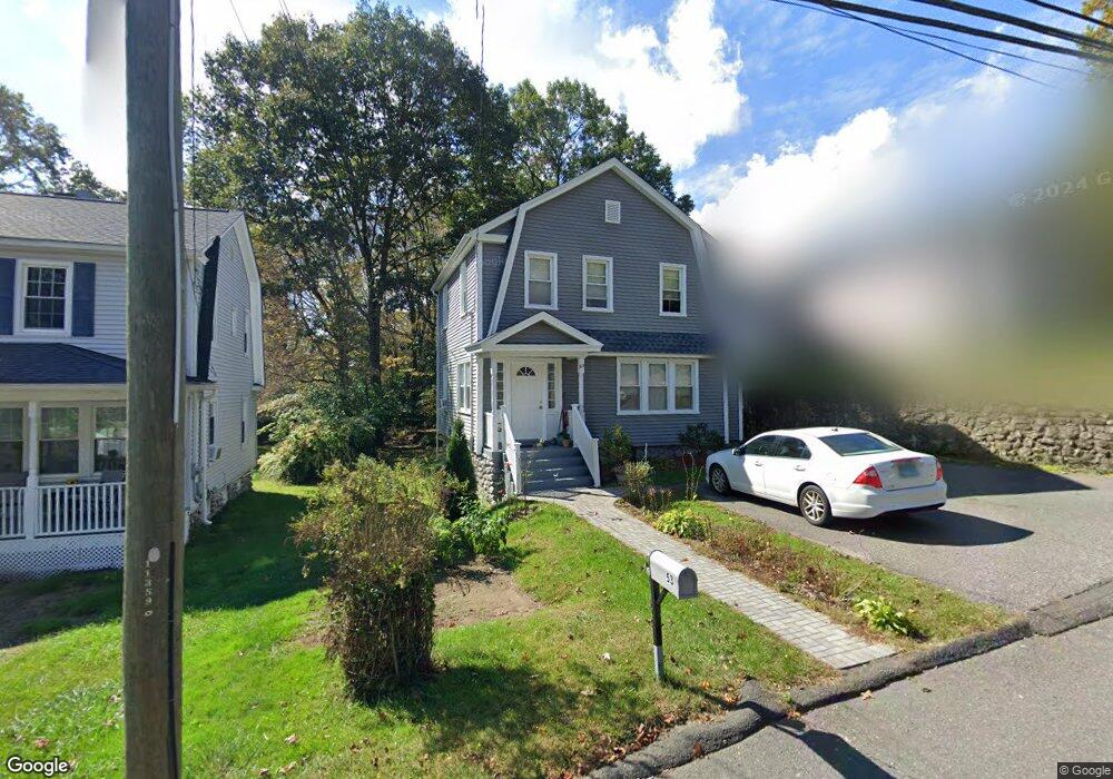
53 Wooster Ave Waterbury, CT 06708
West End District NeighborhoodEstimated Value: $213,000 - $309,000
3
Beds
1
Bath
1,272
Sq Ft
$208/Sq Ft
Est. Value
About This Home
This home is located at 53 Wooster Ave, Waterbury, CT 06708 and is currently estimated at $264,761, approximately $208 per square foot. 53 Wooster Ave is a home located in New Haven County with nearby schools including West Side Middle School, John F. Kennedy High School, and Blessed Sacrament Catholic Day School.
Ownership History
Date
Name
Owned For
Owner Type
Purchase Details
Closed on
Mar 31, 2005
Sold by
Department Of Housing & Urban Dev
Bought by
Buzl Gahi
Current Estimated Value
Home Financials for this Owner
Home Financials are based on the most recent Mortgage that was taken out on this home.
Original Mortgage
$86,000
Outstanding Balance
$43,889
Interest Rate
5.61%
Mortgage Type
Purchase Money Mortgage
Estimated Equity
$220,872
Purchase Details
Closed on
Nov 21, 2001
Sold by
Jokubaitis Robert
Bought by
Facer William E
Home Financials for this Owner
Home Financials are based on the most recent Mortgage that was taken out on this home.
Original Mortgage
$72,900
Interest Rate
6.64%
Mortgage Type
Purchase Money Mortgage
Create a Home Valuation Report for This Property
The Home Valuation Report is an in-depth analysis detailing your home's value as well as a comparison with similar homes in the area
Home Values in the Area
Average Home Value in this Area
Purchase History
| Date | Buyer | Sale Price | Title Company |
|---|---|---|---|
| Buzl Gahi | $107,777 | -- | |
| Facer William E | $74,900 | -- |
Source: Public Records
Mortgage History
| Date | Status | Borrower | Loan Amount |
|---|---|---|---|
| Open | Facer William E | $86,000 | |
| Previous Owner | Facer William E | $72,900 | |
| Previous Owner | Facer William E | $3,000 |
Source: Public Records
Tax History
| Year | Tax Paid | Tax Assessment Tax Assessment Total Assessment is a certain percentage of the fair market value that is determined by local assessors to be the total taxable value of land and additions on the property. | Land | Improvement |
|---|---|---|---|---|
| 2025 | $5,548 | $123,340 | $20,440 | $102,900 |
| 2024 | $6,098 | $123,340 | $20,440 | $102,900 |
| 2023 | $6,684 | $123,340 | $20,440 | $102,900 |
| 2022 | $4,482 | $74,440 | $20,430 | $54,010 |
| 2021 | $4,192 | $69,630 | $20,430 | $49,200 |
| 2020 | $4,192 | $69,630 | $20,430 | $49,200 |
| 2019 | $4,192 | $69,630 | $20,430 | $49,200 |
| 2018 | $4,192 | $69,630 | $20,430 | $49,200 |
| 2017 | $4,071 | $67,610 | $20,420 | $47,190 |
| 2016 | $4,071 | $67,610 | $20,420 | $47,190 |
| 2015 | $3,936 | $67,610 | $20,420 | $47,190 |
| 2014 | $3,936 | $67,610 | $20,420 | $47,190 |
Source: Public Records
Map
Nearby Homes
- 110 Wooster Ave
- 0 Mason Ave
- 31 Parkwood Ave
- 90 Larchmont Ave
- 10 Old Waterbury Rd
- 1 Ruth Parsons Dr
- 104 Eastfield Rd
- 0 Ferndale Ave
- 585 Park Rd Unit 7-2
- 622 Lakeside Blvd W
- Lot 3 Southwest Rd
- 174 Southwest Rd
- 78 Carriage Dr
- 30 Parklawn Dr
- 79 Joshua Town Rd
- 27 Robinwood Rd
- 117 Arden Rd
- 215 Wesley St
- 3 Pine Ridge Unit 23
- 14 Arden Rd
Your Personal Tour Guide
Ask me questions while you tour the home.