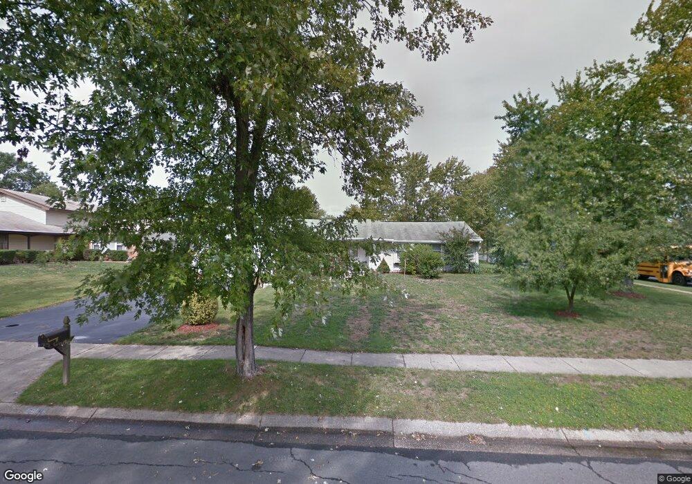
5300 Doris Dr Waldorf, MD 20601
Estimated Value: $382,000 - $398,000
3
Beds
2
Baths
1,544
Sq Ft
$253/Sq Ft
Est. Value
About This Home
This home is located at 5300 Doris Dr, Waldorf, MD 20601 and is currently estimated at $390,619, approximately $252 per square foot. 5300 Doris Dr is a home located in Charles County with nearby schools including Malcolm Elementary School, John Hanson Middle School, and Thomas Stone High School.
Ownership History
Date
Name
Owned For
Owner Type
Purchase Details
Closed on
Jan 22, 2010
Sold by
Jackson Dorothy G
Bought by
Washington Katherine and Proctor F
Current Estimated Value
Purchase Details
Closed on
Aug 25, 1994
Sold by
Ka Revels
Bought by
Jackson Dorothy G
Home Financials for this Owner
Home Financials are based on the most recent Mortgage that was taken out on this home.
Original Mortgage
$100,000
Interest Rate
8.65%
Purchase Details
Closed on
May 11, 1987
Sold by
Hamm Donald R and Hamm Donna L
Bought by
Revels Kenneth A and Revels Judy L
Home Financials for this Owner
Home Financials are based on the most recent Mortgage that was taken out on this home.
Original Mortgage
$99,700
Interest Rate
10.52%
Create a Home Valuation Report for This Property
The Home Valuation Report is an in-depth analysis detailing your home's value as well as a comparison with similar homes in the area
Home Values in the Area
Average Home Value in this Area
Purchase History
| Date | Buyer | Sale Price | Title Company |
|---|---|---|---|
| Washington Katherine | $249,900 | -- | |
| Jackson Dorothy G | $128,000 | -- | |
| Revels Kenneth A | $98,700 | -- |
Source: Public Records
Mortgage History
| Date | Status | Borrower | Loan Amount |
|---|---|---|---|
| Previous Owner | Jackson Dorothy G | $100,000 | |
| Previous Owner | Revels Kenneth A | $99,700 |
Source: Public Records
Tax History
| Year | Tax Paid | Tax Assessment Tax Assessment Total Assessment is a certain percentage of the fair market value that is determined by local assessors to be the total taxable value of land and additions on the property. | Land | Improvement |
|---|---|---|---|---|
| 2025 | $8,865 | $292,367 | -- | -- |
| 2024 | $3,797 | $269,233 | $0 | $0 |
| 2023 | $3,517 | $246,100 | $84,100 | $162,000 |
| 2022 | $3,430 | $240,100 | $0 | $0 |
| 2021 | $3,227 | $234,100 | $0 | $0 |
| 2020 | $3,227 | $228,100 | $84,100 | $144,000 |
| 2019 | $3,100 | $219,667 | $0 | $0 |
| 2018 | $2,949 | $211,233 | $0 | $0 |
| 2017 | $2,830 | $202,800 | $0 | $0 |
| 2016 | -- | $202,800 | $0 | $0 |
| 2015 | $3,131 | $202,800 | $0 | $0 |
| 2014 | $3,131 | $205,400 | $0 | $0 |
Source: Public Records
Map
Nearby Homes
- 5923 Michael Rd
- 5014 Nicholas Rd
- 2419 Pinefield Rd
- 2730 Pinewood Dr
- 2709 Pinewood Dr
- 0 Pinewood Dr
- 1616 Debra Dr
- 2300 Hawks Landing Ct
- 1305 Harwich Dr
- 3109 Tudor Rd
- 9018 Holly Ave
- 3203 Pinefield Cir
- 2511 Lisa Dr
- 2525 Green Pine Ct
- 12613 Indian Ln
- 2217 Pinefield Way
- 2290 Mattawoman Beantown Rd
- 2450 Indian Ct
- 12577 Sub-Station Rd
- 8311 Cedarville Rd
Your Personal Tour Guide
Ask me questions while you tour the home.