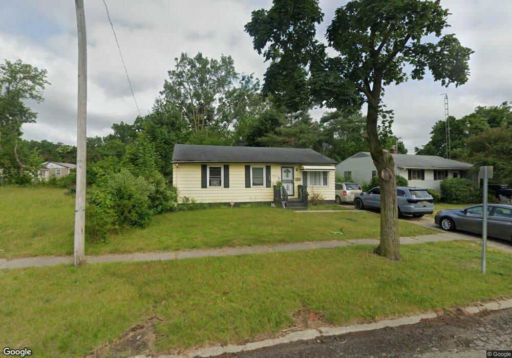
5314 Western Rd Flint, MI 48506
Northeast Flint NeighborhoodEstimated Value: $46,000 - $73,000
3
Beds
1
Bath
968
Sq Ft
$63/Sq Ft
Est. Value
About This Home
This home is located at 5314 Western Rd, Flint, MI 48506 and is currently estimated at $61,084, approximately $63 per square foot. 5314 Western Rd is a home located in Genesee County with nearby schools including Brownell STEM Academy, Richfield Public School Academy, and Richfield Early Learning Center.
Ownership History
Date
Name
Owned For
Owner Type
Purchase Details
Closed on
Dec 2, 2024
Sold by
Tougas David
Bought by
Tougasco 3 Llc
Current Estimated Value
Purchase Details
Closed on
Dec 15, 2017
Sold by
Rutherford Clayton
Bought by
Tougas David
Purchase Details
Closed on
Nov 19, 2015
Sold by
Rutherford Clayton
Bought by
Rutherford Clayton and Rutherford Paul N
Purchase Details
Closed on
Aug 19, 2010
Sold by
Mooney Mary A
Bought by
Rutherford Clayton
Create a Home Valuation Report for This Property
The Home Valuation Report is an in-depth analysis detailing your home's value as well as a comparison with similar homes in the area
Home Values in the Area
Average Home Value in this Area
Purchase History
| Date | Buyer | Sale Price | Title Company |
|---|---|---|---|
| Tougasco 3 Llc | -- | None Listed On Document | |
| Tougas David | $4,000 | None Available | |
| Rutherford Clayton | -- | Attorney | |
| Rutherford Clayton | $12,500 | First American Title Ins Co |
Source: Public Records
Tax History
| Year | Tax Paid | Tax Assessment Tax Assessment Total Assessment is a certain percentage of the fair market value that is determined by local assessors to be the total taxable value of land and additions on the property. | Land | Improvement |
|---|---|---|---|---|
| 2025 | $1,049 | $23,100 | $0 | $0 |
| 2024 | $974 | $19,300 | $0 | $0 |
| 2023 | $953 | $16,300 | $0 | $0 |
| 2022 | $0 | $11,600 | $0 | $0 |
| 2021 | $965 | $12,000 | $0 | $0 |
| 2020 | $890 | $9,500 | $0 | $0 |
| 2019 | $928 | $10,200 | $0 | $0 |
| 2018 | $926 | $10,100 | $0 | $0 |
| 2017 | $922 | $0 | $0 | $0 |
| 2016 | $916 | $0 | $0 | $0 |
| 2015 | -- | $0 | $0 | $0 |
| 2014 | -- | $0 | $0 | $0 |
| 2012 | -- | $13,700 | $0 | $0 |
Source: Public Records
Map
Nearby Homes
- 2727 Eaton Place
- 2806 Epsilon Trail
- 5919 Western Rd
- 5825 Branch Rd
- 3293 E Pierson Rd
- 1704 E Webster Rd
- 5910 N Dort Hwy
- 2935 Richfield Rd
- 3017 Richfield Rd
- 3456 E Pierson Rd
- 3200 N Averill Ave
- 3291 Drexel Ave
- 00 Richfield Rd
- 3006 Arizona Ave
- 1218 E Piper Ave
- 1206 E Home Ave
- 3210 Wyoming Ave
- 3499 E Carpenter Rd
- 5206 Branch Rd
- 1805 Montana Ave
- 5314 Western Rd
- 5308 Western Rd
- 5320 Western Rd
- 5326 Western Rd
- 2711 Eaton Place
- 2701 Eaton Place
- 2715 Eaton Place
- 2702 Tiptree Path
- 2712 Tiptree Path
- 2719 Eaton Place
- 2708 Tiptree Path
- 5307 Western Rd
- 5301 Western Rd
- 2716 Tiptree Path
- 2723 Eaton Place
- 5223 Western Rd
- 2706 Eaton Place
- 2714 Eaton Place
- 2720 Tiptree Path
- 5217 Western Rd
Your Personal Tour Guide
Ask me questions while you tour the home.