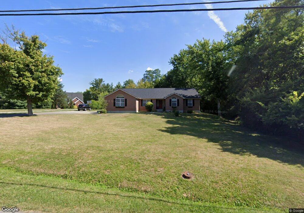
532 Lang Rd Cincinnati, OH 45244
Estimated Value: $377,000 - $442,000
About This Home
This home is located at 532 Lang Rd, Cincinnati, OH 45244 and is currently estimated at $417,705, approximately $192 per square foot. 532 Lang Rd is a home located in Clermont County with nearby schools including St. Veronica Catholic School.
Ownership History
We collect this data history from publicly available records. To have your information removed, we recommend requesting removal directly through your county’s website.
Purchase Details
Purchase Details
Home Financials for this Owner
Home Financials are based on the most recent Mortgage that was taken out on this home.Purchase Details
Purchase History
We collect this data history from publicly available records. To have your information removed, we recommend requesting removal directly through your county’s website.
| Date | Buyer | Sale Price | Title Company |
|---|---|---|---|
| -- | Attorney | ||
| $157,000 | -- | ||
| $66,000 | -- |
Mortgage History
We collect this data history from publicly available records. To have your information removed, we recommend requesting removal directly through your county’s website.
| Date | Status | Borrower | Loan Amount |
|---|---|---|---|
| Previous Owner | $117,000 |
Tax History
We collect this data history from publicly available records. To have your information removed, we recommend requesting removal directly through your county’s website.
| Year | Tax Paid | Tax Assessment Tax Assessment Total Assessment is a certain percentage of the fair market value that is determined by local assessors to be the total taxable value of land and additions on the property. | Land | Improvement |
|---|---|---|---|---|
| 2025 | $5,021 | $112,080 | $22,510 | $89,570 |
| 2024 | $5,109 | $112,080 | $22,510 | $89,570 |
| 2023 | $5,160 | $112,080 | $22,510 | $89,570 |
| 2022 | $5,079 | $83,800 | $16,840 | $66,960 |
| 2021 | $5,084 | $83,800 | $16,840 | $66,960 |
| 2020 | $4,872 | $83,800 | $16,840 | $66,960 |
| 2019 | $4,637 | $79,840 | $16,560 | $63,280 |
| 2018 | $4,639 | $79,840 | $16,560 | $63,280 |
| 2017 | $4,216 | $79,840 | $16,560 | $63,280 |
| 2016 | $4,216 | $65,070 | $10,500 | $54,570 |
| 2015 | $4,105 | $65,070 | $10,500 | $54,570 |
| 2014 | $4,084 | $65,070 | $10,500 | $54,570 |
| 2013 | $4,425 | $68,710 | $8,750 | $59,960 |
Map
- 538 Lang Rd
- 567 Lang Rd
- 572 Common Wealth Dr
- TBD Birkdale Ln
- 4938 Beechwood Rd
- 4885 Beechwood Rd
- 4848 Powderhorn Dr
- 5183 Center View Dr
- 2 Mount Carmel Rd
- 1028 Westchester Way
- 619 Carefree Dr
- 5146 Fordon Ct
- 473 Breezy Ln
- 727 Miami Ave
- 681 Terrace Hill Trail
- 745 Yale Ave
- 5138 Chukker Point Ln
- 982 Steamboat Dr
- 808 Poplar Ave
- 0 Pearl St Unit 1225343
Ask me questions while you tour the home.