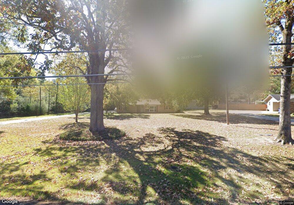
532 Rowland Rd Monroe, LA 71203
Estimated Value: $211,982 - $275,000
3
Beds
2
Baths
1,916
Sq Ft
$122/Sq Ft
Est. Value
About This Home
This home is located at 532 Rowland Rd, Monroe, LA 71203 and is currently estimated at $232,996, approximately $121 per square foot. 532 Rowland Rd is a home located in Ouachita Parish with nearby schools including Lakeshore Elementary School, Ouachita Junior High School, and Ouachita Parish High School.
Ownership History
Date
Name
Owned For
Owner Type
Purchase Details
Closed on
Dec 21, 2006
Sold by
Pugh Clifford E and Pugh Jacquelyn Annette Wells
Bought by
Cripps Harold Anthony and Cripps Lula Elaine Dueitt
Current Estimated Value
Home Financials for this Owner
Home Financials are based on the most recent Mortgage that was taken out on this home.
Original Mortgage
$104,000
Outstanding Balance
$60,900
Interest Rate
6.31%
Mortgage Type
New Conventional
Estimated Equity
$172,096
Create a Home Valuation Report for This Property
The Home Valuation Report is an in-depth analysis detailing your home's value as well as a comparison with similar homes in the area
Purchase History
We collect this data history from publicly available records. To have your information removed, we recommend requesting removal directly through your county’s website.
| Date | Buyer | Sale Price | Title Company |
|---|---|---|---|
| Cripps Harold Anthony | $130,000 | North Delta Title & Abstract |
Source: Public Records
Mortgage History
We collect this data history from publicly available records. To have your information removed, we recommend requesting removal directly through your county’s website.
| Date | Status | Borrower | Loan Amount |
|---|---|---|---|
| Open | Cripps Harold Anthony | $104,000 |
Source: Public Records
Tax History
| Year | Tax Paid | Tax Assessment Tax Assessment Total Assessment is a certain percentage of the fair market value that is determined by local assessors to be the total taxable value of land and additions on the property. | Land | Improvement |
|---|---|---|---|---|
| 2025 | $1,688 | $17,023 | $2,200 | $14,823 |
| 2024 | $1,688 | $17,023 | $2,200 | $14,823 |
| 2023 | $1,700 | $13,520 | $2,200 | $11,320 |
| 2022 | $2,237 | $13,520 | $2,200 | $11,320 |
| 2021 | $2,255 | $16,347 | $2,200 | $14,147 |
| 2020 | $2,269 | $16,448 | $2,200 | $14,248 |
| 2019 | $2,238 | $16,448 | $2,200 | $14,248 |
| 2018 | $875 | $13,000 | $2,080 | $10,920 |
| 2017 | $1,732 | $13,000 | $2,080 | $10,920 |
| 2016 | $1,690 | $13,000 | $2,080 | $10,920 |
| 2015 | $714 | $13,000 | $2,080 | $10,920 |
| 2014 | $714 | $13,000 | $2,080 | $10,920 |
| 2013 | $712 | $13,000 | $2,080 | $10,920 |
Source: Public Records
Map
Nearby Homes
- 0 Rowland Rd
- 138 Dallas Dr Unit 142 and 148 DALLAS D
- 142 Dallas Dr
- 138 Dallas Dr
- 148 Dallas Dr
- 637 Rowland Rd
- 101 Timber Ln
- 0 Braebend Dr
- 276 Clayton Dr
- 34 Forest Dr
- 311 Rowland Rd
- 602 Rowland Dr
- 0 Clayton Dr
- 158 Barbara Dr
- 2210 Highway 594
- 14 Winchester Cir
- 106 Vail Cir
- 106 Briar Hill Dr
- 748 Bayou Shores Dr
- 318 Monarch Dr
- 520 Rowland Rd
- 895 Rowland Rd
- - Rowland Rd Unit Hwy 594
- 508 Rowland Rd
- 535 Rowland Rd
- 381 Rowland Dr
- 555 Rowland Rd
- 371 Rowland Dr
- 494 Rowland Rd
- 353 Rowland Rd
- 499 Rowland Rd
- 582 Rowland Rd
- 0 Rowland Dr Unit 1.187 Acres
- 587 Rowland Rd
- 478 Rowland Rd
- 343 Rowland Dr
- 575 Rowland Rd
- 433 Rowland Dr
- 433 Rowland Dr
- 479 Rowland Rd
Your Personal Tour Guide
Ask me questions while you tour the home.