5325 Secrest Rd Wooster, OH 44691
Estimated Value: $298,000 - $435,001
2
Beds
2
Baths
1,080
Sq Ft
$321/Sq Ft
Est. Value
About This Home
This home is located at 5325 Secrest Rd, Wooster, OH 44691 and is currently estimated at $346,500, approximately $320 per square foot. 5325 Secrest Rd is a home located in Wayne County with nearby schools including Waynedale High School, Montessori School of Wooster, and Maple Grove.
Ownership History
Date
Name
Owned For
Owner Type
Purchase Details
Closed on
Aug 16, 2002
Sold by
Harris Lorn E
Bought by
Miller Gregory S
Current Estimated Value
Home Financials for this Owner
Home Financials are based on the most recent Mortgage that was taken out on this home.
Original Mortgage
$124,000
Outstanding Balance
$49,748
Interest Rate
6.64%
Mortgage Type
New Conventional
Estimated Equity
$296,752
Create a Home Valuation Report for This Property
The Home Valuation Report is an in-depth analysis detailing your home's value as well as a comparison with similar homes in the area
Purchase History
| Date | Buyer | Sale Price | Title Company |
|---|---|---|---|
| Miller Gregory S | $155,000 | -- |
Source: Public Records
Mortgage History
| Date | Status | Borrower | Loan Amount |
|---|---|---|---|
| Open | Miller Gregory S | $124,000 |
Source: Public Records
Tax History
| Year | Tax Paid | Tax Assessment Tax Assessment Total Assessment is a certain percentage of the fair market value that is determined by local assessors to be the total taxable value of land and additions on the property. | Land | Improvement |
|---|---|---|---|---|
| 2025 | $4,994 | $138,030 | $59,220 | $78,810 |
| 2024 | $4,994 | $138,640 | $59,830 | $78,810 |
| 2023 | $5,098 | $138,640 | $59,830 | $78,810 |
| 2022 | $3,949 | $97,630 | $42,130 | $55,500 |
| 2021 | $3,957 | $97,630 | $42,130 | $55,500 |
| 2020 | $4,001 | $97,630 | $42,130 | $55,500 |
| 2019 | $3,409 | $81,150 | $36,610 | $44,540 |
| 2018 | $3,303 | $75,740 | $36,610 | $39,130 |
| 2017 | $3,342 | $75,740 | $36,610 | $39,130 |
| 2016 | $2,959 | $65,870 | $31,840 | $34,030 |
| 2015 | $2,881 | $65,870 | $31,840 | $34,030 |
| 2014 | $2,827 | $65,870 | $31,840 | $34,030 |
| 2013 | $2,767 | $60,280 | $31,190 | $29,090 |
Source: Public Records
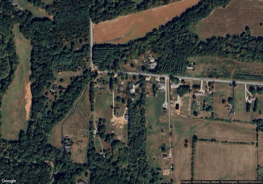
Map
Nearby Homes
- 1225 Barnard Rd
- 380 Barnard Rd
- 3315 Sylvan Rd
- 314 Kountz Dr
- 3065 Dover Rd
- 2630 Bauman Dr
- 3419 Fredericksburg Rd
- 660 Millborne Rd
- 2632 Peach Ln
- 2596 Eastwood Dr
- 513 Washington St
- 1530 Willoughby Dr
- 4859 Prosperity Way
- 1718 Armadale Isle
- 716 Washington St
- 960 Washington St
- 419 Nold Ave
- 331 Derr Ave
- 2535 Millersburg Rd
- 223 E Larwill St
- 5349 Secrest Rd
- 5393 Secrest Rd
- 5425 Secrest Rd
- 5352 Secrest Rd
- 5447 Secrest Rd
- 5233 Secrest Rd
- 5245 Secrest Rd
- 5517 Secrest Rd
- 5431 Secrest Rd
- 5527 Secrest Rd
- 5255 Secrest Rd
- 5549 Secrest Rd
- 5631 Secrest Rd
- 4831 Secrest Rd
- 5040 Secrest Rd
- 5687 Secrest Rd
- 5727 Secrest Rd
- 764 S Honeytown Rd
- 6041 Secrest Rd
- 5917 Secrest Rd
Your Personal Tour Guide
Ask me questions while you tour the home.