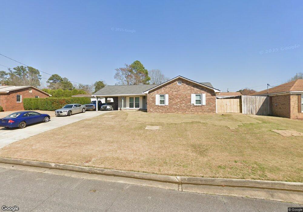
5326 Rockhurst Dr Columbus, GA 31907
Midland NeighborhoodEstimated Value: $214,585 - $246,000
About This Home
This home is located at 5326 Rockhurst Dr, Columbus, GA 31907 and is currently estimated at $226,646, approximately $139 per square foot. 5326 Rockhurst Dr is a home located in Muscogee County with nearby schools including Waddell Elementary School, Midland Middle School, and Hardaway High School.
Ownership History
We collect this data history from publicly available records. To have your information removed, we recommend requesting removal directly through your county’s website.
Purchase Details
Home Financials for this Owner
Home Financials are based on the most recent Mortgage that was taken out on this home.Home Values in the Area
Average Home Value in this Area
Purchase History
We collect this data history from publicly available records. To have your information removed, we recommend requesting removal directly through your county’s website.
| Date | Buyer | Sale Price | Title Company |
|---|---|---|---|
| $135,000 | -- |
Mortgage History
We collect this data history from publicly available records. To have your information removed, we recommend requesting removal directly through your county’s website.
| Date | Status | Borrower | Loan Amount |
|---|---|---|---|
| Closed | $138,478 | ||
| Closed | $139,451 | ||
| Closed | $34,000 |
Tax History
We collect this data history from publicly available records. To have your information removed, we recommend requesting removal directly through your county’s website.
| Year | Tax Paid | Tax Assessment Tax Assessment Total Assessment is a certain percentage of the fair market value that is determined by local assessors to be the total taxable value of land and additions on the property. | Land | Improvement |
|---|---|---|---|---|
| 2025 | -- | $57,408 | $10,696 | $46,712 |
| 2024 | -- | $57,408 | $10,696 | $46,712 |
| 2023 | $1,908 | $57,408 | $10,696 | $46,712 |
| 2022 | $1,908 | $46,728 | $10,696 | $36,032 |
| 2021 | $1,851 | $45,340 | $10,696 | $34,644 |
| 2020 | $1,852 | $45,340 | $10,696 | $34,644 |
| 2019 | $1,858 | $45,340 | $10,696 | $34,644 |
| 2018 | $1,361 | $49,984 | $10,696 | $39,288 |
| 2017 | $1,368 | $49,984 | $10,696 | $39,288 |
| 2016 | $1,374 | $46,575 | $5,836 | $40,739 |
| 2015 | $1,376 | $46,575 | $5,836 | $40,739 |
| 2014 | $1,378 | $46,575 | $5,836 | $40,739 |
| 2013 | -- | $46,575 | $5,836 | $40,739 |
Map
- 5413 Shanna Ct
- 5514 Rockhurst Dr
- 5433 Grady Dr
- 6110 Crystal Dr
- 5717 Flat Rock Rd
- 6925 Pebble Ct
- 4931 Woodruff Farm Rd
- 6106 Brittany Ct
- 7380 Macon Rd
- 5429 Holland Dr
- 5106 Willowbrook Dr
- 7233 Westport Loop
- 6031 Old Dominion Rd
- 6020 Whitehaven Dr
- 6023 Whitehaven Dr
- 6001 Williamsburg Dr
- 5390 McCaghren Dr
- 7240 Wedgewood Dr
- 6166 Independence Dr
- 5260 Woodruff Farm Rd
- 5320 Rockhurst Dr
- 6415 Thornhill Dr
- 5334 Rockhurst Dr
- 2 Wabash Ct
- 6423 Thornhill Dr
- 5331 Rockhurst Dr
- 5325 Rockhurst Dr
- 5337 Rockhurst Dr
- 6410 Thornhill Dr
- 6400 Thornhill Dr
- 5319 Rockhurst Dr
- 6429 Thornhill Dr
- 3 Wabash Ct
- 6416 Thornhill Dr
- 5343 Rockhurst Dr
- 6424 Thornhill Dr
- 5301 Rockhurst Dr
- 6340 Parker Dr
- 5325 Brookview Dr
- 5349 Rockhurst Dr
Ask me questions while you tour the home.