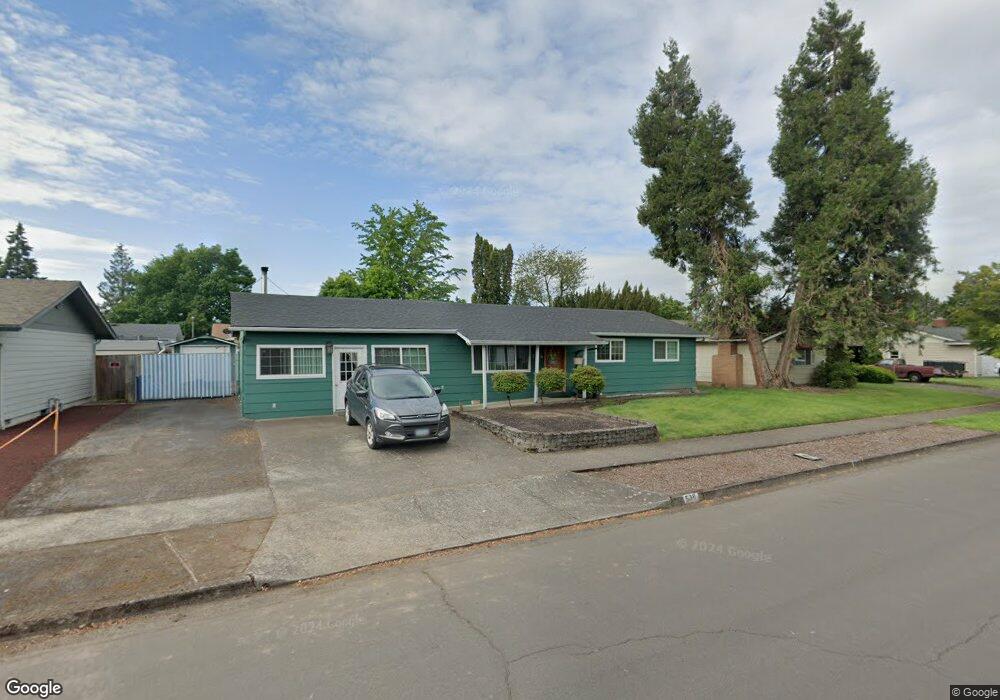
536 Durham Ave Eugene, OR 97404
Santa Clara NeighborhoodEstimated Value: $341,000 - $401,034
About This Home
This home is located at 536 Durham Ave, Eugene, OR 97404 and is currently estimated at $368,009, approximately $251 per square foot. 536 Durham Ave is a home located in Lane County with nearby schools including Spring Creek Elementary School, Madison Middle School, and North Eugene High School.
Ownership History
We collect this data history from publicly available records. To have your information removed, we recommend requesting removal directly through your county’s website.
Purchase Details
Home Financials for this Owner
Home Financials are based on the most recent Mortgage that was taken out on this home.Purchase Details
Purchase Details
Home Financials for this Owner
Home Financials are based on the most recent Mortgage that was taken out on this home.Home Values in the Area
Average Home Value in this Area
Purchase History
We collect this data history from publicly available records. To have your information removed, we recommend requesting removal directly through your county’s website.
| Date | Buyer | Sale Price | Title Company |
|---|---|---|---|
| $130,000 | Evergreen Land Title Co | ||
| $148,201 | First American Title | ||
| -- | First American Title |
Mortgage History
We collect this data history from publicly available records. To have your information removed, we recommend requesting removal directly through your county’s website.
| Date | Status | Borrower | Loan Amount |
|---|---|---|---|
| Open | $149,737 | ||
| Previous Owner | $307,500 |
Tax History
We collect this data history from publicly available records. To have your information removed, we recommend requesting removal directly through your county’s website.
| Year | Tax Paid | Tax Assessment Tax Assessment Total Assessment is a certain percentage of the fair market value that is determined by local assessors to be the total taxable value of land and additions on the property. | Land | Improvement |
|---|---|---|---|---|
| 2025 | $2,316 | $180,990 | ||
| 2024 | $2,304 | $175,719 | ||
| 2023 | $2,304 | $170,601 | $0 | $0 |
| 2022 | $2,166 | $165,633 | $0 | $0 |
| 2021 | $1,987 | $160,809 | $0 | $0 |
| 2020 | $2,025 | $156,126 | $0 | $0 |
| 2019 | $1,949 | $151,579 | $0 | $0 |
| 2018 | $1,791 | $142,879 | $0 | $0 |
| 2017 | $1,651 | $142,879 | $0 | $0 |
| 2016 | $1,540 | $138,717 | $0 | $0 |
| 2015 | $1,478 | $134,677 | $0 | $0 |
| 2014 | $1,387 | $130,754 | $0 | $0 |
Map
- 2501 Stratford St
- 2562 Dover Dr
- 352 Ruby Ave
- 2565 Dover Dr
- 1140 Molly Ln
- 445 Sterling Dr
- 2439 Quince St
- 1805 Hemlock St
- 112 Lea Ave
- 2867 Maesner St
- 1755 Alderwood St
- 1771 Linwood St
- 605 Kourt Dr
- 2910 River Rd
- 2923 Dry Creek Rd
- 1720 Grove St
- 1301 Bramblewood Ln
- 1880 Manihi Dr
- 84 Green Ln
- 335 Kourt Dr
- 542 Durham Ave
- 530 Durham Ave
- 527 Heywood Ave
- 511 Heywood Ave
- 543 Heywood Ave
- 552 Durham Ave
- 522 Durham Ave
- 495 Heywood Ave
- 523 Durham Ave
- 559 Heywood Ave
- 2473 Stratford St
- 574 Durham Ave
- 555 Durham Ave
- 2472 Hastings St
- 496 Durham Ave
- 481 Heywood Ave
- 2472 Hasting St
- 528 Heywood Ave
- 575 Heywood Ave
- 544 Heywood Ave
Ask me questions while you tour the home.