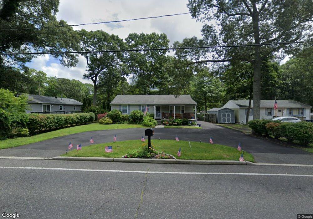
536 S Pitney Rd Galloway, NJ 08205
Estimated Value: $261,095 - $345,000
About This Home
This home is located at 536 S Pitney Rd, Galloway, NJ 08205 and is currently estimated at $302,274, approximately $286 per square foot. 536 S Pitney Rd is a home located in Atlantic County with nearby schools including Absegami High School, Oakcrest High School, and Cedar Creek High School.
Ownership History
We collect this data history from publicly available records. To have your information removed, we recommend requesting removal directly through your county’s website.
Purchase Details
Home Financials for this Owner
Home Financials are based on the most recent Mortgage that was taken out on this home.Purchase Details
Home Values in the Area
Average Home Value in this Area
Purchase History
We collect this data history from publicly available records. To have your information removed, we recommend requesting removal directly through your county’s website.
| Date | Buyer | Sale Price | Title Company |
|---|---|---|---|
| $185,500 | The Title Company Of Jersey | ||
| $103,500 | -- |
Mortgage History
We collect this data history from publicly available records. To have your information removed, we recommend requesting removal directly through your county’s website.
| Date | Status | Borrower | Loan Amount |
|---|---|---|---|
| Open | $182,634 |
Tax History
We collect this data history from publicly available records. To have your information removed, we recommend requesting removal directly through your county’s website.
| Year | Tax Paid | Tax Assessment Tax Assessment Total Assessment is a certain percentage of the fair market value that is determined by local assessors to be the total taxable value of land and additions on the property. | Land | Improvement |
|---|---|---|---|---|
| 2025 | $4,493 | $134,600 | $38,800 | $95,800 |
| 2024 | $4,493 | $134,600 | $38,800 | $95,800 |
| 2023 | $4,322 | $134,600 | $38,800 | $95,800 |
| 2022 | $4,322 | $134,600 | $38,800 | $95,800 |
| 2021 | $4,236 | $134,600 | $38,800 | $95,800 |
| 2020 | $4,169 | $134,600 | $38,800 | $95,800 |
| 2019 | $4,092 | $134,600 | $38,800 | $95,800 |
| 2018 | $4,150 | $134,600 | $38,800 | $95,800 |
| 2017 | $4,150 | $134,600 | $38,800 | $95,800 |
| 2016 | $4,113 | $134,600 | $38,800 | $95,800 |
| 2015 | $4,095 | $134,600 | $38,800 | $95,800 |
| 2014 | $3,959 | $134,600 | $38,800 | $95,800 |
Map
- 509 S Pitney Rd
- 502 E Forestbrook Dr
- 64 E Woodland Ave Unit C64
- 43 E Woodland Ave Unit C43
- 47 E Woodland Ave Unit C47
- 48 E Woodland Ave Unit C48
- 506 E Forestbrook Dr
- 130 Crestview Ave
- 513 E Forestbrook Dr
- 528 Holly Brook Dr
- 534 E Brook Ln
- 535 Holly Brook Dr
- 623 E Biscayne Ave
- 546 A E Brook Ln
- 130 Davis Ave
- 112 Woodcrest Ave
- 0-0 E Dickinson Ave
- 617 Pitney Rd
- 545 E Jimmie Leeds Rd
- 140 Pennsylvania Ave
- 538 S Pitney Rd
- 400 Cresson Ave
- 540 S Pitney Rd
- 404 Cresson Ave
- 532 S Pitney Rd
- 406 Cresson Ave
- 547 S Pitney Rd
- 530 S Pitney Rd
- 549 S Pitney Rd
- 405 E Elm Ave
- 545 S Pitney Rd
- 401 E Elm Ave
- 405 Cresson Ave
- 553 S Pitney Rd
- 543 S Pitney Rd
- 407 E Elm Ave
- 528 S Pitney Rd
- 407 Cresson Ave
- 313 E Elm Ave
- 541 S Pitney Rd
Ask me questions while you tour the home.