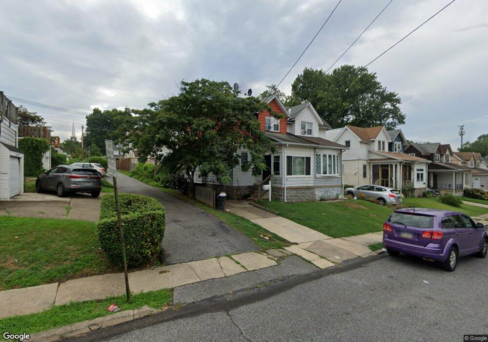
538 Cypress St Lansdowne, PA 19050
Estimated Value: $157,000 - $206,000
3
Beds
1
Bath
990
Sq Ft
$179/Sq Ft
Est. Value
About This Home
This home is located at 538 Cypress St, Lansdowne, PA 19050 and is currently estimated at $177,000, approximately $178 per square foot. 538 Cypress St is a home located in Delaware County with nearby schools including Evans Elementary School, Penn Wood Middle School, and Penn Wood High School - Cypress Street Campus.
Ownership History
Date
Name
Owned For
Owner Type
Purchase Details
Closed on
Dec 13, 2016
Sold by
Hollingsworth Lesley and Us Bank Na
Bought by
Bft Rentals 1915 Llc
Current Estimated Value
Purchase Details
Closed on
Jun 23, 2006
Sold by
Paskill William H and Estate Of Helen M Paskill
Bought by
Hollingsworth Lesley
Home Financials for this Owner
Home Financials are based on the most recent Mortgage that was taken out on this home.
Original Mortgage
$90,086
Interest Rate
6.58%
Mortgage Type
FHA
Purchase Details
Closed on
Nov 10, 1995
Sold by
Paskill Helen M
Bought by
Paskill Helen M and Paskill William H
Create a Home Valuation Report for This Property
The Home Valuation Report is an in-depth analysis detailing your home's value as well as a comparison with similar homes in the area
Home Values in the Area
Average Home Value in this Area
Purchase History
| Date | Buyer | Sale Price | Title Company |
|---|---|---|---|
| Bft Rentals 1915 Llc | $29,750 | None Available | |
| Bft Rentals 1915 Llc | $29,750 | None Available | |
| Hollingsworth Lesley | $91,500 | Commonwealth Land Title Insu | |
| Paskill Helen M | -- | Commonwealth Land Title Ins |
Source: Public Records
Mortgage History
| Date | Status | Borrower | Loan Amount |
|---|---|---|---|
| Previous Owner | Hollingsworth Lesley | $90,086 |
Source: Public Records
Tax History
| Year | Tax Paid | Tax Assessment Tax Assessment Total Assessment is a certain percentage of the fair market value that is determined by local assessors to be the total taxable value of land and additions on the property. | Land | Improvement |
|---|---|---|---|---|
| 2025 | $3,416 | $80,000 | $30,000 | $50,000 |
| 2024 | $3,416 | $80,000 | $30,000 | $50,000 |
| 2023 | $3,608 | $93,030 | $33,220 | $59,810 |
| 2022 | $3,440 | $93,030 | $33,220 | $59,810 |
| 2021 | $5,202 | $93,030 | $33,220 | $59,810 |
| 2020 | $3,766 | $60,310 | $19,160 | $41,150 |
| 2019 | $3,700 | $60,310 | $19,160 | $41,150 |
| 2018 | $3,649 | $60,310 | $0 | $0 |
| 2017 | $3,572 | $60,310 | $0 | $0 |
| 2016 | $338 | $60,310 | $0 | $0 |
| 2015 | $331 | $60,310 | $0 | $0 |
| 2014 | $331 | $60,310 | $0 | $0 |
Source: Public Records
Map
Nearby Homes
Your Personal Tour Guide
Ask me questions while you tour the home.