Estimated Value: $249,429
Studio
--
Bath
10,507
Sq Ft
$24/Sq Ft
Est. Value
About This Home
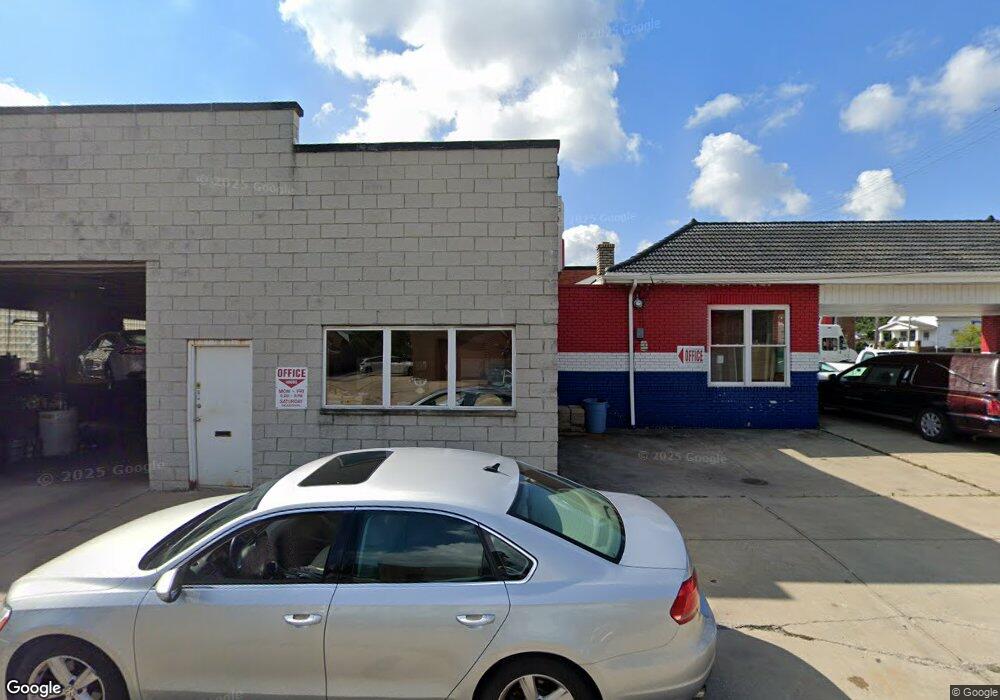
This home is located at 5387 State Rd, Parma, OH 44134 and is currently estimated at $249,429, approximately $23 per square foot. 5387 State Rd is a home located in Cuyahoga County with nearby schools including John Muir Elementary School, Shiloh Middle School, and Normandy High School.
Ownership History
Date
Name
Owned For
Owner Type
Purchase Details
Closed on
Jul 10, 2018
Sold by
Phy Mar Enterprises Inc
Bought by
Duke Raymond E and Duke Sandra J
Current Estimated Value
Purchase Details
Closed on
Mar 29, 2004
Sold by
Phy Mar Enterprises Inc
Bought by
Duke Raymond E
Home Financials for this Owner
Home Financials are based on the most recent Mortgage that was taken out on this home.
Original Mortgage
$150,000
Interest Rate
5%
Mortgage Type
Seller Take Back
Purchase Details
Closed on
Jan 1, 1975
Bought by
Ha-Pe-Jo Inc
Create a Home Valuation Report for This Property
The Home Valuation Report is an in-depth analysis detailing your home's value as well as a comparison with similar homes in the area
Home Values in the Area
Average Home Value in this Area
Purchase History
| Date | Buyer | Sale Price | Title Company |
|---|---|---|---|
| Duke Raymond E | $150,000 | Land Title Group | |
| Duke Raymond E | $150,000 | -- | |
| Ha-Pe-Jo Inc | -- | -- |
Source: Public Records
Mortgage History
| Date | Status | Borrower | Loan Amount |
|---|---|---|---|
| Previous Owner | Duke Raymond E | $150,000 |
Source: Public Records
Tax History
| Year | Tax Paid | Tax Assessment Tax Assessment Total Assessment is a certain percentage of the fair market value that is determined by local assessors to be the total taxable value of land and additions on the property. | Land | Improvement |
|---|---|---|---|---|
| 2025 | $7,561 | $93,170 | $23,695 | $69,475 |
| 2024 | $7,941 | $93,170 | $23,695 | $69,475 |
| 2023 | $7,371 | $85,370 | $25,340 | $60,030 |
| 2022 | $7,353 | $85,370 | $25,340 | $60,030 |
| 2021 | $7,607 | $85,370 | $25,340 | $60,030 |
| 2020 | $7,438 | $79,800 | $23,700 | $56,110 |
| 2019 | $7,270 | $228,000 | $67,700 | $160,300 |
| 2018 | $3,648 | $79,800 | $23,700 | $56,110 |
| 2017 | $6,460 | $67,630 | $32,730 | $34,900 |
| 2016 | $6,424 | $67,630 | $32,730 | $34,900 |
| 2015 | $6,850 | $67,630 | $32,730 | $34,900 |
| 2014 | $6,850 | $73,500 | $35,560 | $37,940 |
Source: Public Records
Map
Nearby Homes
- 5432 State Rd
- 3810 Lincoln Ave
- 3900 Lincoln Ave
- 3326 Grovewood Ave
- 5240 State Rd
- 3111 Tuxedo Ave
- 4323 Russell Ave
- 3018 Russell Ave
- 2819 Tuxedo Ave
- 2819 Lincoln Ave
- 2717 Tuxedo Ave
- 4413 Torrington Ave
- 3000 Brookpark Rd
- 5271 W 49th St
- 2700 Brookpark Rd Unit 513
- 2619 Fortune Ave
- 5224 W 48th St
- 4312 Kenmore Ave
- 4911 Tuxedo Ave
- 2436 Tuxedo Ave
- 3443 Russell Ave
- 3439 Russell Ave
- 5384 State
- 5346 State
- 3442 Lincoln Ave
- 3435 Russell Ave
- 3436 Lincoln Ave
- 5390 State Rd
- 5390 State Rd Unit Rear
- 5390 Rear State Rd
- 3431 Russell Ave
- 5344 State
- 5342 State Rd
- 3434 Lincoln Ave
- 3442 Russell Ave
- 5390 State
- 5390-Rear State Rd
- 5338 State Rd
- 3438 Russell Ave
- 3430 Lincoln Ave
Your Personal Tour Guide
Ask me questions while you tour the home.