539 Ed Thomas Rd Cameron, NC 28326
Estimated Value: $227,000 - $290,000
3
Beds
2
Baths
1,680
Sq Ft
$158/Sq Ft
Est. Value
About This Home
This home is located at 539 Ed Thomas Rd, Cameron, NC 28326 and is currently estimated at $264,717, approximately $157 per square foot. 539 Ed Thomas Rd is a home located in Harnett County with nearby schools including Johnsonville Elementary School, Highland Middle School, and Western Harnett High School.
Ownership History
Date
Name
Owned For
Owner Type
Purchase Details
Closed on
Feb 6, 2006
Sold by
Wells Fargo Bank
Bought by
Cave Mary
Current Estimated Value
Home Financials for this Owner
Home Financials are based on the most recent Mortgage that was taken out on this home.
Original Mortgage
$58,400
Interest Rate
6.6%
Mortgage Type
Commercial
Purchase Details
Closed on
Aug 23, 2005
Sold by
Detlefsen Ricky M and Detlefsen Charlene
Bought by
Wells Fargo Bank Na
Create a Home Valuation Report for This Property
The Home Valuation Report is an in-depth analysis detailing your home's value as well as a comparison with similar homes in the area
Home Values in the Area
Average Home Value in this Area
Purchase History
| Date | Buyer | Sale Price | Title Company |
|---|---|---|---|
| Cave Mary | $73,000 | None Available | |
| Wells Fargo Bank Na | $198,000 | None Available |
Source: Public Records
Mortgage History
| Date | Status | Borrower | Loan Amount |
|---|---|---|---|
| Previous Owner | Cave Mary | $58,400 |
Source: Public Records
Tax History
| Year | Tax Paid | Tax Assessment Tax Assessment Total Assessment is a certain percentage of the fair market value that is determined by local assessors to be the total taxable value of land and additions on the property. | Land | Improvement |
|---|---|---|---|---|
| 2025 | $304 | $148,692 | $0 | $0 |
| 2024 | $354 | $148,692 | $0 | $0 |
| 2023 | $504 | $148,692 | $0 | $0 |
| 2022 | $474 | $148,692 | $0 | $0 |
| 2021 | $474 | $115,640 | $0 | $0 |
| 2020 | $851 | $115,640 | $0 | $0 |
| 2019 | $1,036 | $115,640 | $0 | $0 |
| 2018 | $1,036 | $115,640 | $0 | $0 |
| 2017 | $836 | $115,640 | $0 | $0 |
| 2016 | $1,087 | $121,810 | $0 | $0 |
| 2015 | -- | $121,810 | $0 | $0 |
| 2014 | -- | $121,810 | $0 | $0 |
Source: Public Records
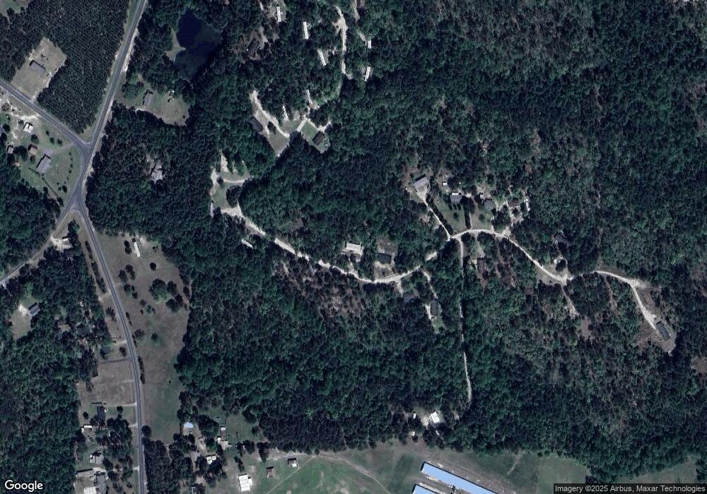
Map
Nearby Homes
- 708 Ed Thomas Rd
- 840 Ed Thomas Rd
- 421 Needmore Rd
- 150 Hickory Pointer Way
- TBD Line Rd
- 205 Schmidt Ln
- 168 Dove
- 367 Dove Rd
- 0 Briggs Rd
- 00 Briggs Rd
- 565 Susie
- 0 Nc 24-87 Hwy Unit 654163
- 0 Nc 24-87 Hwy Unit 645458
- 806 Twin Leaf Ct
- 809 Twin Leaf Ct
- TBD Cypress Church Rd
- 0 Cypress Church Rd
- 1430 Cypress Church Rd
- 219 Stella Way
- 119 Eaker Dr
- 489 Ed Thomas Rd
- 582 Ed Thomas Rd
- 647 Ed Thomas Rd
- 628 Ed Thomas Rd
- 337 Ed Thomas Rd
- 628 Ed Thomas Rd
- 669 Ed Thomas Rd
- 0 Nc 24 87 Hwy Unit 1986078
- 0 Nc 24 87 Hwy Unit 1821420
- 0 Nc 24 87 Hwy Unit 386523
- 0 Nc 24 87 Hwy Unit 108 1821420
- 0 Nc 24 87 Hwy Unit Babcock Village/Garl
- 0 Nc 24 87 Hwy Unit 2077823
- 0 Nc 24 87 Hwy Unit 2174304
- 0 Nc 24 87 Hwy Unit 2146970
- 682 Ed Thomas Rd
- 444 Ed Thomas Rd
- 691 Ed Thomas Rd
- 342 Ed Thomas Rd
- 408 Ed Thomas Rd
Your Personal Tour Guide
Ask me questions while you tour the home.