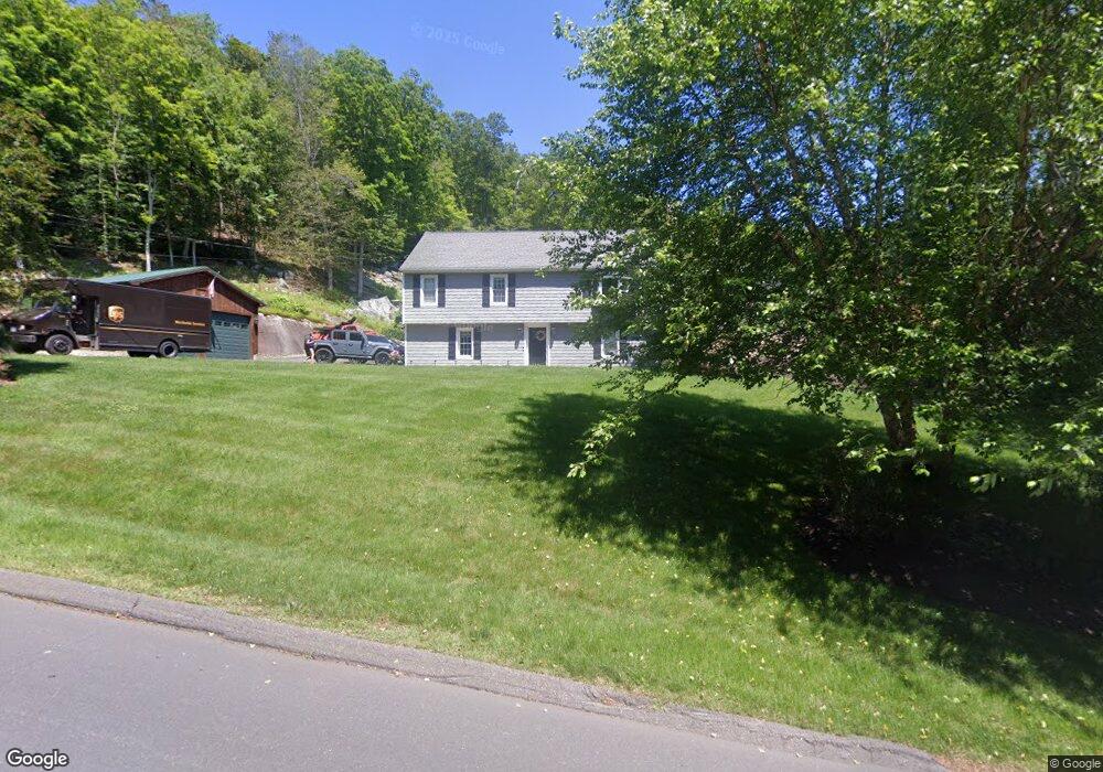
54 Dorman Rd Oxford, CT 06478
Estimated Value: $465,000 - $545,000
2
Beds
6
Baths
1,690
Sq Ft
$305/Sq Ft
Est. Value
About This Home
This home is located at 54 Dorman Rd, Oxford, CT 06478 and is currently estimated at $515,549, approximately $305 per square foot. 54 Dorman Rd is a home located in New Haven County with nearby schools including Quaker Farms School, Oxford Middle School, and Oxford High School.
Ownership History
Date
Name
Owned For
Owner Type
Purchase Details
Closed on
Sep 30, 2010
Sold by
Ruetzel Mark C
Bought by
Herains Justin and Ruetzel Kelly M
Current Estimated Value
Home Financials for this Owner
Home Financials are based on the most recent Mortgage that was taken out on this home.
Original Mortgage
$214,000
Outstanding Balance
$141,863
Interest Rate
4.44%
Estimated Equity
$373,686
Purchase Details
Closed on
Mar 10, 2009
Sold by
Est Turner Norman E and Schnodier Diane Deborah
Bought by
Reutzel Mark C
Home Financials for this Owner
Home Financials are based on the most recent Mortgage that was taken out on this home.
Original Mortgage
$216,000
Interest Rate
5.14%
Create a Home Valuation Report for This Property
The Home Valuation Report is an in-depth analysis detailing your home's value as well as a comparison with similar homes in the area
Home Values in the Area
Average Home Value in this Area
Purchase History
| Date | Buyer | Sale Price | Title Company |
|---|---|---|---|
| Herains Justin | $267,500 | -- | |
| Herains Justin | $267,500 | -- | |
| Reutzel Mark C | $160,000 | -- | |
| Reutzel Mark C | $160,000 | -- |
Source: Public Records
Mortgage History
| Date | Status | Borrower | Loan Amount |
|---|---|---|---|
| Open | Reutzel Mark C | $214,000 | |
| Closed | Reutzel Mark C | $214,000 | |
| Previous Owner | Reutzel Mark C | $216,000 |
Source: Public Records
Tax History
| Year | Tax Paid | Tax Assessment Tax Assessment Total Assessment is a certain percentage of the fair market value that is determined by local assessors to be the total taxable value of land and additions on the property. | Land | Improvement |
|---|---|---|---|---|
| 2025 | $6,366 | $318,150 | $71,050 | $247,100 |
| 2024 | $6,205 | $240,400 | $78,200 | $162,200 |
| 2023 | $5,892 | $240,400 | $78,200 | $162,200 |
| 2022 | $5,856 | $240,400 | $78,200 | $162,200 |
| 2021 | $5,274 | $229,300 | $78,200 | $151,100 |
| 2020 | $5,209 | $218,500 | $78,600 | $139,900 |
| 2019 | $5,209 | $218,500 | $78,600 | $139,900 |
| 2018 | $5,036 | $218,500 | $78,600 | $139,900 |
| 2017 | $4,853 | $218,500 | $78,600 | $139,900 |
| 2016 | $4,234 | $174,900 | $78,600 | $96,300 |
| 2015 | $4,463 | $178,800 | $76,500 | $102,300 |
| 2014 | $4,447 | $178,800 | $76,500 | $102,300 |
Source: Public Records
Map
Nearby Homes
- 76 Dorman Rd
- 334 Oxford Rd
- 183 Park Rd
- 29 Dutton Rd
- 0 Riggs St
- 58 Bee Mountain Rd
- 4 Randall Dr
- 29 Ancient Hwy
- 30 Fairfield Rd
- 205 West Rd
- 0 Hill East Rd Unit 24131331
- 521 Heatherwood Ct
- 215 Meadow Brook Rd Unit 215
- 151 Great Hill Rd
- 312 Spruce Hill Dr
- 604 Juniper Ct
- 543 Oxford Rd
- 2 Apple Dr
- 22 Frances Dr
- 194 Eastwood Dr
Your Personal Tour Guide
Ask me questions while you tour the home.