54 Mast Hill Rd Saco, ME 04072
North Saco Neighborhood
3
Beds
2
Baths
1,344
Sq Ft
1.99
Acre Lot
About This Home
This home is located at 54 Mast Hill Rd, Saco, ME 04072. 54 Mast Hill Rd is a home located in York County with nearby schools including C K Burns School and Saco Middle School.
Ownership History
We collect this data history from publicly available records. To have your information removed, we recommend requesting removal directly through your county’s website.
Date
Name
Owned For
Owner Type
Purchase Details
Closed on
Mar 11, 2010
Sold by
Bought by
Create a Home Valuation Report for This Property
The Home Valuation Report is an in-depth analysis detailing your home's value as well as a comparison with similar homes in the area
Home Values in the Area
Average Home Value in this Area
Purchase History
We collect this data history from publicly available records. To have your information removed, we recommend requesting removal directly through your county’s website.
| Date | Buyer | Sale Price | Title Company |
|---|---|---|---|
| -- | -- |
Source: Public Records
Tax History
We collect this data history from publicly available records. To have your information removed, we recommend requesting removal directly through your county’s website.
| Year | Tax Paid | Tax Assessment Tax Assessment Total Assessment is a certain percentage of the fair market value that is determined by local assessors to be the total taxable value of land and additions on the property. | Land | Improvement |
|---|---|---|---|---|
| 2025 | $4,861 | $342,300 | $134,200 | $208,100 |
| 2024 | $3,362 | $239,300 | $134,200 | $105,100 |
| 2023 | $3,530 | $239,300 | $134,200 | $105,100 |
| 2022 | $3,219 | $175,600 | $102,000 | $73,600 |
| 2021 | $3,123 | $165,400 | $91,800 | $73,600 |
| 2020 | $2,929 | $148,900 | $80,800 | $68,100 |
| 2019 | $2,839 | $146,500 | $80,800 | $65,700 |
| 2018 | $2,315 | $139,300 | $73,600 | $65,700 |
| 2017 | $2,535 | $130,800 | $67,300 | $63,500 |
| 2016 | $2,315 | $119,200 | $52,700 | $66,500 |
| 2015 | $2,291 | $119,200 | $52,700 | $66,500 |
| 2014 | $2,220 | $119,200 | $52,700 | $66,500 |
| 2013 | $2,215 | $119,200 | $52,700 | $66,500 |
Source: Public Records
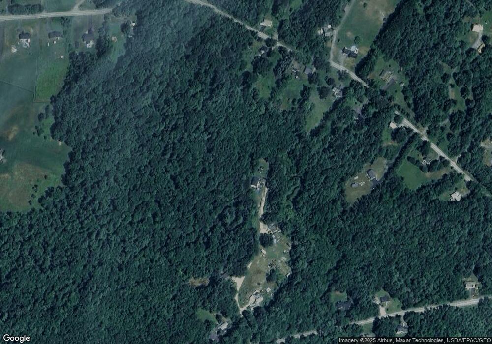
Map
Nearby Homes
- 69 Watson Mill Rd
- 7 Memory Ln
- 8 Dirigo Dr
- 320 Holmes Rd
- 334 Broadturn Rd
- 91 C Broadturn Rd
- 219 Broadturn Rd
- 211 Broadturn Rd
- Lot 72 Martell Way
- 17 Glenndale Cir
- 11 Silver Brook Cir
- 461 Buxton Rd
- 225 Holmes Rd
- 23 Robert St
- 295 Buxton Rd
- 6 Sugar Woods Way
- 149 Town Farm Rd
- 7 Landmark Rd
- 213 Buxton Rd
- 12 Cedar Cir
- 5 Grace Ln
- 4 Grace Ln
- 78 Watson Mill Rd
- 86 Watson Mill Rd
- 112 Watson Mill Rd
- 184 Watson Mill Rd
- 72 Watson Mill Rd
- 48 Mast Hill Rd
- 93 Watson Mill Rd
- 70 Watson Mill Rd
- 46 Mast Hill Rd
- 79 Watson Mill Rd
- 83 Watson Mill Rd
- 58 Mast Hill Rd
- 68 Watson Mill Rd
- 108 Watson Mill Rd
- 73 Watson Mill Rd
- 62 Watson Mill Rd
- 110/009 Mast Hill Rd
- 66 Mast Hill Rd
Your Personal Tour Guide
Ask me questions while you tour the home.