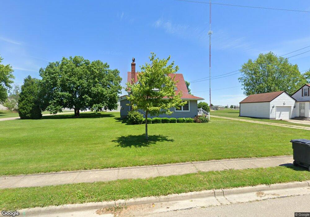
540 Albert Rd Brookville, OH 45309
Estimated Value: $190,000 - $281,000
About This Home
This home is located at 540 Albert Rd, Brookville, OH 45309 and is currently estimated at $244,519, approximately $127 per square foot. 540 Albert Rd is a home located in Montgomery County with nearby schools including Brookville Elementary School, Brookville Intermediate School, and Brookville High School.
Ownership History
We collect this data history from publicly available records. To have your information removed, we recommend requesting removal directly through your county’s website.
Purchase Details
Home Financials for this Owner
Home Financials are based on the most recent Mortgage that was taken out on this home.Purchase Details
Home Values in the Area
Average Home Value in this Area
Purchase History
We collect this data history from publicly available records. To have your information removed, we recommend requesting removal directly through your county’s website.
| Date | Buyer | Sale Price | Title Company |
|---|---|---|---|
| $85,000 | Landmark Title Agency South | ||
| -- | -- |
Mortgage History
We collect this data history from publicly available records. To have your information removed, we recommend requesting removal directly through your county’s website.
| Date | Status | Borrower | Loan Amount |
|---|---|---|---|
| Open | $83,460 |
Tax History
We collect this data history from publicly available records. To have your information removed, we recommend requesting removal directly through your county’s website.
| Year | Tax Paid | Tax Assessment Tax Assessment Total Assessment is a certain percentage of the fair market value that is determined by local assessors to be the total taxable value of land and additions on the property. | Land | Improvement |
|---|---|---|---|---|
| 2025 | $2,972 | $60,970 | $11,020 | $49,950 |
| 2024 | $2,864 | $60,970 | $11,020 | $49,950 |
| 2023 | $2,864 | $60,970 | $11,020 | $49,950 |
| 2022 | $2,541 | $42,050 | $7,600 | $34,450 |
| 2021 | $2,552 | $42,050 | $7,600 | $34,450 |
| 2020 | $2,583 | $42,500 | $8,050 | $34,450 |
| 2019 | $2,359 | $35,500 | $8,050 | $27,450 |
| 2018 | $2,371 | $35,500 | $8,050 | $27,450 |
| 2017 | $2,360 | $35,500 | $8,050 | $27,450 |
| 2016 | $2,203 | $31,740 | $8,050 | $23,690 |
| 2015 | $1,537 | $31,740 | $8,050 | $23,690 |
| 2014 | $1,537 | $31,740 | $8,050 | $23,690 |
| 2012 | -- | $32,250 | $8,050 | $24,200 |
Map
- 419 Market St
- 102 Meadowlark Ln
- 102 Meadowlark Ln Unit 905-201
- 120 Meadowlark Ln
- 112 Meadowlark Ln Unit 903-202
- 118 Meadowlark Ln
- 112 Meadowlark Ln
- 104 Meadowlark Ln
- 104 Meadowlark Ln Unit 905-202
- 12 Columbia St
- 232 Maple St
- 137 Evergreen Way
- 163 Autumn Maple Ln
- 12 Harshman St
- 115 N Wolf Creek St
- 107 Evergreen Way
- 70 Madrid Ave
- 10365 Upper Lewisburg Salem Rd
- 215 Crosswell Ave
- 127 Brooke Parke Ave
Ask me questions while you tour the home.