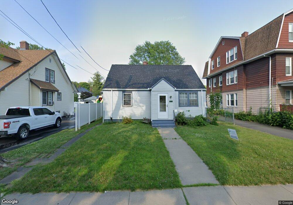
540 Hillside Ave Hartford, CT 06106
South West NeighborhoodEstimated Value: $264,893 - $311,000
3
Beds
1
Bath
1,091
Sq Ft
$267/Sq Ft
Est. Value
About This Home
This home is located at 540 Hillside Ave, Hartford, CT 06106 and is currently estimated at $291,723, approximately $267 per square foot. 540 Hillside Ave is a home located in Hartford County with nearby schools including Kennelly School, Environmental Sciences Magnet School at Mary Hooker, and Parkville Community School.
Ownership History
Date
Name
Owned For
Owner Type
Purchase Details
Closed on
Mar 31, 2014
Sold by
Opplet David M
Bought by
Kaiser-Opplet Laurie J
Current Estimated Value
Purchase Details
Closed on
Oct 29, 1999
Sold by
Joseph Helen
Bought by
Oppelt David and Kaiser Laurie
Home Financials for this Owner
Home Financials are based on the most recent Mortgage that was taken out on this home.
Original Mortgage
$49,400
Interest Rate
7.78%
Create a Home Valuation Report for This Property
The Home Valuation Report is an in-depth analysis detailing your home's value as well as a comparison with similar homes in the area
Home Values in the Area
Average Home Value in this Area
Purchase History
| Date | Buyer | Sale Price | Title Company |
|---|---|---|---|
| Kaiser-Opplet Laurie J | -- | -- | |
| Oppelt David | $52,000 | -- |
Source: Public Records
Mortgage History
| Date | Status | Borrower | Loan Amount |
|---|---|---|---|
| Open | Oppelt David | $113,298 | |
| Previous Owner | Oppelt David | $50,000 | |
| Previous Owner | Oppelt David | $49,400 |
Source: Public Records
Tax History
| Year | Tax Paid | Tax Assessment Tax Assessment Total Assessment is a certain percentage of the fair market value that is determined by local assessors to be the total taxable value of land and additions on the property. | Land | Improvement |
|---|---|---|---|---|
| 2025 | $4,267 | $61,887 | $7,607 | $54,280 |
| 2024 | $4,267 | $61,887 | $7,607 | $54,280 |
| 2023 | $4,267 | $61,887 | $7,607 | $54,280 |
| 2022 | $4,267 | $61,887 | $7,607 | $54,280 |
| 2021 | $3,289 | $44,275 | $10,430 | $33,845 |
| 2020 | $3,289 | $44,275 | $10,430 | $33,845 |
| 2019 | $3,289 | $44,275 | $10,430 | $33,845 |
| 2018 | $3,178 | $42,782 | $10,078 | $32,704 |
| 2016 | $3,080 | $41,454 | $9,598 | $31,856 |
| 2015 | $2,933 | $39,485 | $9,142 | $30,343 |
| 2014 | $2,862 | $38,520 | $8,919 | $29,601 |
Source: Public Records
Map
Nearby Homes
- 117 Ansonia St
- 82 Monroe St
- 510 New Britain Ave
- 137 Linnmoore St
- 156 Fairfield Ave Unit 158
- 575 Broadview Terrace
- 570 Broadview Terrace
- 185 Grandview Terrace Unit 187
- 12 Coolidge St
- 14 Sequin St
- 299 Linnmoore St
- 35 Sequin St
- 44 Forster St
- 25-27 Griswold St
- 366 Fairfield Ave
- 17 Salem St
- 2020 Broad St Unit 6
- 50 Harwich St
- 83 Stone St
- 1954 Broad St
- 542 Hillside Ave Unit 544
- 534 Hillside Ave
- 530 Hillside Ave
- 546 Hillside Ave Unit 548
- 543 Hillside Ave Unit 545
- 169 Monroe St
- 157 Monroe St
- 526 Hillside Ave Unit 528
- 153 Monroe St
- 539 Hillside Ave Unit 541
- 161 Monroe St Unit 163
- 535 Hillside Ave
- 522 Hillside Ave Unit 524
- 5 Oliver St
- 234 White St
- 549 Hillside Ave
- 222 White St
- 218 White St
- 551 Hillside Ave
- 518 Hillside Ave Unit 520
Your Personal Tour Guide
Ask me questions while you tour the home.