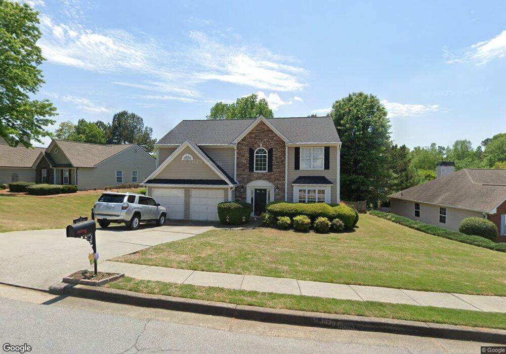
540 White Stag Ct Unit 3 Suwanee, GA 30024
Estimated Value: $434,000 - $502,000
3
Beds
3
Baths
2,168
Sq Ft
$216/Sq Ft
Est. Value
About This Home
This home is located at 540 White Stag Ct Unit 3, Suwanee, GA 30024 and is currently estimated at $467,722, approximately $215 per square foot. 540 White Stag Ct Unit 3 is a home located in Gwinnett County with nearby schools including Riverside Elementary School, North Gwinnett Middle School, and North Gwinnett High School.
Ownership History
Date
Name
Owned For
Owner Type
Purchase Details
Closed on
Sep 27, 1996
Sold by
G Torrey Atlanta S
Bought by
Edwards Jonathan R Lorrie
Current Estimated Value
Create a Home Valuation Report for This Property
The Home Valuation Report is an in-depth analysis detailing your home's value as well as a comparison with similar homes in the area
Home Values in the Area
Average Home Value in this Area
Purchase History
We collect this data history from publicly available records. To have your information removed, we recommend requesting removal directly through your county’s website.
| Date | Buyer | Sale Price | Title Company |
|---|---|---|---|
| Edwards Jonathan R Lorrie | $134,800 | -- |
Source: Public Records
Mortgage History
We collect this data history from publicly available records. To have your information removed, we recommend requesting removal directly through your county’s website.
| Date | Status | Borrower | Loan Amount |
|---|---|---|---|
| Closed | Edwards Jonathan R Lorrie | $0 |
Source: Public Records
Tax History
| Year | Tax Paid | Tax Assessment Tax Assessment Total Assessment is a certain percentage of the fair market value that is determined by local assessors to be the total taxable value of land and additions on the property. | Land | Improvement |
|---|---|---|---|---|
| 2025 | $4,256 | $166,600 | $38,000 | $128,600 |
| 2024 | $4,527 | $173,320 | $40,000 | $133,320 |
| 2023 | $4,527 | $180,040 | $40,000 | $140,040 |
| 2022 | $4,164 | $157,360 | $33,200 | $124,160 |
| 2021 | $3,261 | $111,160 | $23,280 | $87,880 |
| 2020 | $3,286 | $111,160 | $23,280 | $87,880 |
| 2019 | $3,104 | $105,880 | $20,000 | $85,880 |
| 2018 | $3,108 | $105,880 | $20,000 | $85,880 |
| 2016 | $2,760 | $88,680 | $23,600 | $65,080 |
| 2015 | $2,500 | $76,040 | $18,400 | $57,640 |
| 2014 | $2,373 | $69,760 | $16,400 | $53,360 |
Source: Public Records
Map
Nearby Homes
- 510 White Stag Ct
- 570 White Stag Ct
- 542 Staghorn Ln
- 5262 Enniskillen Ct
- 333 Twin Point Way Unit 4
- 5395 Harbury Ln
- 510 Running Fawn Dr
- 5295 Antler Ct Unit 1
- 535 Running Fawn Dr
- 5356 Settles Bridge Rd
- 5411 Glencastle Way
- 5094 Meadowbrook Cir
- 5243 Aldeburgh Dr
- 5232 Tormeall Trace
- 811 Woodvale Point
- 3681 Trevi Ln
- 552 Brendlynn Ct
- 4720 Winding Rose Dr
- 600 Grimsby Ct
- 243 Wedmore Ct
- 520 White Stag Ct
- 550 White Stag Ct
- 541 Staghorn Ct
- 551 Staghorn Ct
- 560 White Stag Ct
- 535 White Stag Ct
- 545 White Stag Ct Unit 3
- 555 White Stag Ct
- 555 White Stag Ct
- 525 White Stag Ct
- 531 Staghorn Ct Unit 2
- 561 Staghorn Ct Unit 56
- 561 Staghorn Ct
- 575 White Stag Ct Unit 3
- 515 White Stag Ct
- 511 Staghorn Ct Unit 2
- 5122 Running Doe Dr
- 571 Staghorn Ct Unit 1
- 571 Staghorn Ct
- 536 Broad Head Point
Your Personal Tour Guide
Ask me questions while you tour the home.