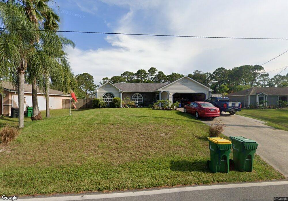
5405 Curtis Blvd Cocoa, FL 32927
Port Saint John AreaEstimated Value: $346,000 - $383,000
About This Home
This home is located at 5405 Curtis Blvd, Cocoa, FL 32927 and is currently estimated at $371,627, approximately $218 per square foot. 5405 Curtis Blvd is a home located in Brevard County with nearby schools including Enterprise Elementary School, Space Coast Junior/Senior High School, and East Atlantic Prep of Brevard County.
Ownership History
We collect this data history from publicly available records. To have your information removed, we recommend requesting removal directly through your county’s website.
Purchase Details
Purchase Details
Home Values in the Area
Average Home Value in this Area
Purchase History
We collect this data history from publicly available records. To have your information removed, we recommend requesting removal directly through your county’s website.
| Date | Buyer | Sale Price | Title Company |
|---|---|---|---|
| $134,000 | Liberty Title | ||
| $74,800 | -- |
Mortgage History
We collect this data history from publicly available records. To have your information removed, we recommend requesting removal directly through your county’s website.
| Date | Status | Borrower | Loan Amount |
|---|---|---|---|
| Previous Owner | $143,500 | ||
| Previous Owner | $153,132 | ||
| Previous Owner | $75,000 | ||
| Previous Owner | $35,589 | ||
| Previous Owner | $72,200 | ||
| Previous Owner | $19,000 |
Tax History
We collect this data history from publicly available records. To have your information removed, we recommend requesting removal directly through your county’s website.
| Year | Tax Paid | Tax Assessment Tax Assessment Total Assessment is a certain percentage of the fair market value that is determined by local assessors to be the total taxable value of land and additions on the property. | Land | Improvement |
|---|---|---|---|---|
| 2025 | $4,163 | $292,210 | ||
| 2024 | $3,941 | $296,900 | ||
| 2023 | $3,941 | $275,580 | $0 | $0 |
| 2022 | $3,576 | $262,780 | $0 | $0 |
| 2021 | $3,274 | $201,510 | $42,000 | $159,510 |
| 2020 | $3,038 | $184,590 | $40,000 | $144,590 |
| 2019 | $2,897 | $179,400 | $35,000 | $144,400 |
| 2018 | $2,751 | $165,040 | $27,000 | $138,040 |
| 2017 | $2,647 | $153,130 | $24,000 | $129,130 |
| 2016 | $2,502 | $134,730 | $18,000 | $116,730 |
| 2015 | $2,394 | $113,420 | $15,000 | $98,420 |
| 2014 | $2,205 | $103,110 | $11,000 | $92,110 |
Map
- 6560 Dock Ave
- 6570 Dock Ave
- 6615 Dock Ave
- 6450 Ember Ave
- 5424 Flint Rd
- 6442 Fairchild Ave
- 00 Unknown
- 5530 Fairbridge St
- 5525 Fairbridge St
- 6574 Haven Ave
- 6460 Irving Rd
- 6581 Bancroft Ave
- 6570 Bancroft Ave
- 5380 Fay Blvd
- 6592 Emil Ave
- 6643 Emil Ave
- No Access W
- 6392 Hudson Rd
- 5685 Beaverbrook St
- 5002 Bogey Place
- 6550 Elliot
- 6550 Elliott Ave Unit 7
- 6560 Elliott Ave
- 6553 Cedar Ave
- 6565 Cedar Ave
- 6570 Elliott Ave
- 6555 Elliott Ave
- 6555 Elliot Ave
- 5395 Curtis Blvd
- 6577 Cedar Ave
- 5385 Curtis Blvd
- 6565 Elliott Ave
- 5415 Curtis Blvd
- 6580 Elliott Ave
- 5375 Curtis Blvd
- 6589 Cedar Ave
- 6575 Elliott Ave
- 5360 Curtis Blvd
- 5425 Curtis Blvd
- 5430 Curtis Blvd
Ask me questions while you tour the home.