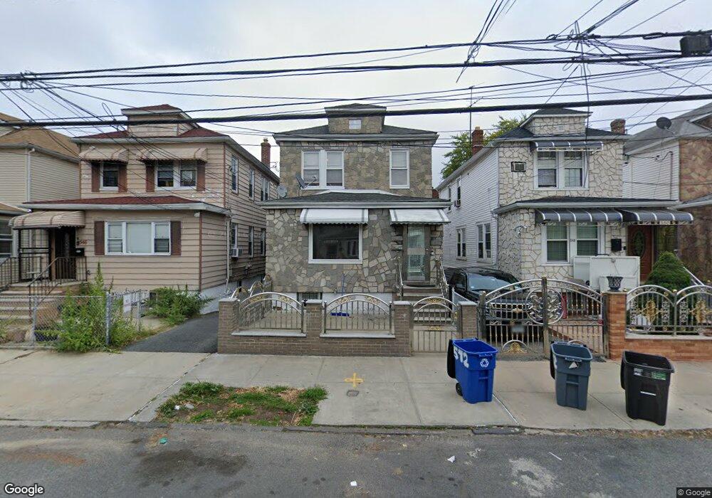
542 Beach Ave Bronx, NY 10473
Clason Point NeighborhoodEstimated Value: $794,505 - $929,000
Studio
--
Bath
3,020
Sq Ft
$285/Sq Ft
Est. Value
About This Home
This home is located at 542 Beach Ave, Bronx, NY 10473 and is currently estimated at $861,876, approximately $285 per square foot. 542 Beach Ave is a home located in Bronx County with nearby schools including P.S. 069 Journey Prep School - X069 and Holy Cross Elementary School.
Ownership History
Date
Name
Owned For
Owner Type
Purchase Details
Closed on
Apr 19, 2007
Sold by
Thornton Rebecca C
Bought by
Nwaedozie Angus and Nwaedozie Azuka
Current Estimated Value
Home Financials for this Owner
Home Financials are based on the most recent Mortgage that was taken out on this home.
Original Mortgage
$396,000
Outstanding Balance
$240,484
Interest Rate
6.23%
Mortgage Type
Purchase Money Mortgage
Estimated Equity
$621,392
Create a Home Valuation Report for This Property
The Home Valuation Report is an in-depth analysis detailing your home's value as well as a comparison with similar homes in the area
Home Values in the Area
Average Home Value in this Area
Purchase History
| Date | Buyer | Sale Price | Title Company |
|---|---|---|---|
| Nwaedozie Angus | $495,000 | -- |
Source: Public Records
Mortgage History
| Date | Status | Borrower | Loan Amount |
|---|---|---|---|
| Open | Nwaedozie Angus | $396,000 |
Source: Public Records
Tax History
| Year | Tax Paid | Tax Assessment Tax Assessment Total Assessment is a certain percentage of the fair market value that is determined by local assessors to be the total taxable value of land and additions on the property. | Land | Improvement |
|---|---|---|---|---|
| 2025 | $5,833 | $34,814 | $5,107 | $29,707 |
| 2024 | $5,833 | $32,844 | $4,368 | $28,476 |
| 2023 | $5,634 | $30,985 | $4,470 | $26,515 |
| 2022 | $5,177 | $49,920 | $7,860 | $42,060 |
| 2021 | $5,441 | $40,980 | $7,860 | $33,120 |
| 2020 | $5,482 | $37,680 | $7,860 | $29,820 |
| 2019 | $5,067 | $35,100 | $7,860 | $27,240 |
| 2018 | $4,605 | $25,821 | $5,893 | $19,928 |
| 2017 | $4,320 | $24,360 | $7,860 | $16,500 |
| 2016 | $4,417 | $25,200 | $7,860 | $17,340 |
| 2015 | $2,789 | $24,720 | $8,760 | $15,960 |
| 2014 | $2,789 | $23,940 | $8,760 | $15,180 |
Source: Public Records
Map
Nearby Homes
- 1787 Randall Ave
- 1805 Lacombe Ave
- 536 Commonwealth Ave
- 643 Thieriot Ave
- 533 Underhill Ave
- 645 Saint Lawrence Ave
- 439 Thieriot Ave
- 427 Taylor Ave
- 1822 Seward Ave
- 1739 Lacombe Ave Unit 1B
- 424 Thieriot Ave
- 1731 Lacombe Ave Unit 1B
- 1731 Lacombe Ave Unit 4B
- 1731 Lacombe Ave Unit 4A
- 1731 Lacombe Ave Unit 3A
- 420 Thieriot Ave Unit 2
- 1727 Lacombe Ave Unit 4A
- 1727 Lacombe Ave Unit 4B
- 1723 Lacombe Ave Unit 1A
- 1815 Patterson Ave
Your Personal Tour Guide
Ask me questions while you tour the home.