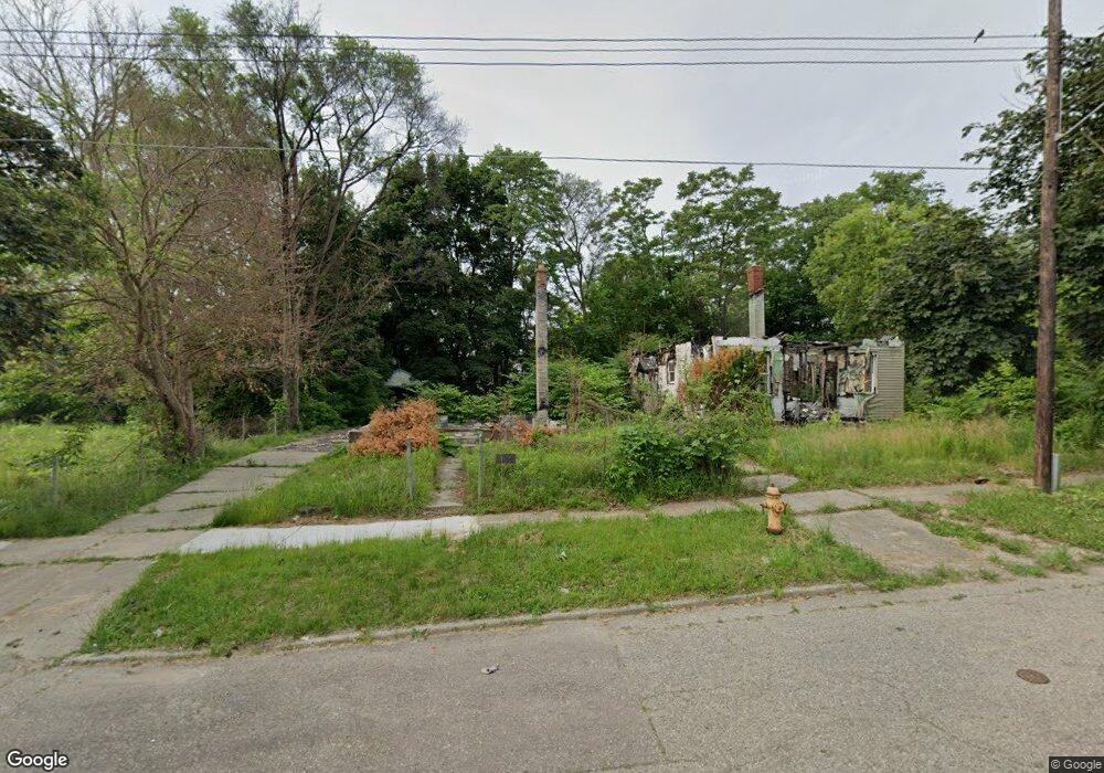
542 E Jamieson St Flint, MI 48505
King Avenue Plus NeighborhoodEstimated Value: $27,000 - $52,465
About This Home
This home is located at 542 E Jamieson St, Flint, MI 48505 and is currently estimated at $43,366, approximately $53 per square foot. 542 E Jamieson St is a home located in Genesee County with nearby schools including Brownell STEM Academy, Flint Cultural Center Academy, and Greater Heights Academy.
Ownership History
We collect this data history from publicly available records. To have your information removed, we recommend requesting removal directly through your county’s website.
Purchase Details
Purchase Details
Purchase Details
Purchase Details
Home Values in the Area
Average Home Value in this Area
Purchase History
We collect this data history from publicly available records. To have your information removed, we recommend requesting removal directly through your county’s website.
| Date | Buyer | Sale Price | Title Company |
|---|---|---|---|
| $450 | None Listed On Document | ||
| $4,888 | None Available | ||
| $7,725 | None Available | ||
| $39,500 | Sargents Title Company |
Tax History
We collect this data history from publicly available records. To have your information removed, we recommend requesting removal directly through your county’s website.
| Year | Tax Paid | Tax Assessment Tax Assessment Total Assessment is a certain percentage of the fair market value that is determined by local assessors to be the total taxable value of land and additions on the property. | Land | Improvement |
|---|---|---|---|---|
| 2025 | $417 | $2,500 | $0 | $0 |
| 2024 | $413 | $2,300 | $0 | $0 |
| 2023 | $421 | $2,400 | $0 | $0 |
| 2022 | $0 | $2,200 | $0 | $0 |
| 2021 | $584 | $4,500 | $0 | $0 |
| 2020 | $528 | $5,500 | $0 | $0 |
| 2019 | $1,016 | $6,100 | $0 | $0 |
| 2018 | $500 | $5,400 | $0 | $0 |
| 2017 | $518 | $0 | $0 | $0 |
| 2016 | $516 | $0 | $0 | $0 |
| 2015 | -- | $0 | $0 | $0 |
| 2014 | -- | $0 | $0 | $0 |
| 2012 | -- | $7,800 | $0 | $0 |
Map
- 630 E Dartmouth St
- 218 E Jackson Ave
- 205 E Jackson Ave
- 730 Tilden St
- 3810 Marvin St
- 813 Addison St
- 200 W Mcclellan St
- 124 W Rankin St
- 217 W Dewey St
- 2217 Francis Ave
- 4028 North St
- 432 W Dartmouth St
- 310 White St
- 2309 Mason St
- 1710 Wilberforce Cir
- 604 Page St
- 1706 Wilberforce Cir
- 3422 Race St
- 124 W Flint Park Blvd
- 109 E Bishop Ave
- 538 E Jamieson St
- 546 E Jamieson St
- 534 E Jamieson St
- 606 E Jamieson St
- 610 E Jamieson St
- 526 E Jamieson St
- 605 E Mcclellan St
- 541 E Jamieson St
- 545 E Jamieson St
- 601 E Jamieson St
- 525 E Mcclellan St
- 609 E Mcclellan St
- 522 E Jamieson St
- 529 E Jamieson St Unit Bldg-Unit
- 529 E Jamieson St
- 614 E Jamieson St
- 613 E Mcclellan St
- 521 E Mcclellan St
- 525 E Jamieson St
- 518 E Jamieson St
Ask me questions while you tour the home.