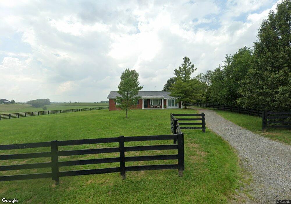
542 Unity Rd Harrodsburg, KY 40330
Estimated Value: $206,487 - $266,000
2
Beds
2
Baths
1,560
Sq Ft
$153/Sq Ft
Est. Value
About This Home
This home is located at 542 Unity Rd, Harrodsburg, KY 40330 and is currently estimated at $238,122, approximately $152 per square foot. 542 Unity Rd is a home located in Mercer County with nearby schools including Mercer County Elementary School, Mercer County Intermediate School, and King Middle School.
Ownership History
Date
Name
Owned For
Owner Type
Purchase Details
Closed on
Oct 14, 2025
Sold by
Holland Melissa Blair
Bought by
Melissa Blair Holland Revocable Living Trust and Holland
Current Estimated Value
Purchase Details
Closed on
Nov 5, 2010
Sold by
Preston John A
Bought by
Preston Frank and Preston Connie
Create a Home Valuation Report for This Property
The Home Valuation Report is an in-depth analysis detailing your home's value as well as a comparison with similar homes in the area
Purchase History
| Date | Buyer | Sale Price | Title Company |
|---|---|---|---|
| Melissa Blair Holland Revocable Living Trust | -- | None Listed On Document | |
| Melissa Blair Holland Revocable Living Trust | -- | None Listed On Document | |
| Preston Frank | -- | None Available |
Source: Public Records
Tax History
| Year | Tax Paid | Tax Assessment Tax Assessment Total Assessment is a certain percentage of the fair market value that is determined by local assessors to be the total taxable value of land and additions on the property. | Land | Improvement |
|---|---|---|---|---|
| 2025 | $1,093 | $150,160 | $10,000 | $140,160 |
| 2024 | $1,093 | $91,500 | $10,000 | $81,500 |
| 2023 | $1,104 | $91,500 | $0 | $0 |
| 2022 | $1,081 | $91,500 | $0 | $0 |
| 2021 | $1,088 | $91,500 | $0 | $0 |
| 2020 | $1,083 | $85,113 | $10,000 | $75,113 |
| 2019 | $1,023 | $85,113 | $10,000 | $75,113 |
| 2018 | $1,000 | $85,113 | $0 | $0 |
| 2017 | $938 | $82,613 | $0 | $0 |
| 2016 | $920 | $82,613 | $0 | $0 |
| 2015 | $805 | $82,613 | $7,500 | $75,113 |
| 2014 | $805 | $74,382 | $0 | $0 |
| 2010 | -- | $77,902 | $7,500 | $70,402 |
Source: Public Records
Map
Nearby Homes
- 185 Cummins Ferry Rd
- 161 Cummins Ferry Rd
- 110 Station Dr
- 127 Man-O-war Dr
- 155 Man-O-war Dr
- 851 Mcafee Ln
- 1330 Curry Pike
- 107 Lot 5 Morton Dr
- 420 Cole Ln
- 462 Oakley Ave
- 438 Oakley Ave
- 743 Garriott Ln
- 312 Virginia Ave
- 352 Virginia Ave
- 300 Longview St
- 121 Hycliff St
- 65 Pinehurst Way
- 64 Pinehurst Way
- 60 Pinehurst Way
- 63 Pinehurst Way
Your Personal Tour Guide
Ask me questions while you tour the home.