5424 Deer Path West Olive, MI 49460
Estimated Value: $666,000 - $905,000
3
Beds
2
Baths
2,418
Sq Ft
$311/Sq Ft
Est. Value
About This Home
This home is located at 5424 Deer Path, West Olive, MI 49460 and is currently estimated at $751,669, approximately $310 per square foot. 5424 Deer Path is a home located in Ottawa County with nearby schools including Lakeshore Elementary School, Harbor Lights Middle School, and West Ottawa High School.
Ownership History
Date
Name
Owned For
Owner Type
Purchase Details
Closed on
Jul 3, 2020
Sold by
James Aimee M
Bought by
James Aimee and James Chad
Current Estimated Value
Home Financials for this Owner
Home Financials are based on the most recent Mortgage that was taken out on this home.
Original Mortgage
$316,000
Outstanding Balance
$280,208
Interest Rate
3.1%
Mortgage Type
New Conventional
Estimated Equity
$471,461
Purchase Details
Closed on
Jun 2, 2010
Sold by
Yako Robert G and Yako Kim J
Bought by
James Aimee M
Home Financials for this Owner
Home Financials are based on the most recent Mortgage that was taken out on this home.
Original Mortgage
$209,142
Interest Rate
5.37%
Mortgage Type
FHA
Create a Home Valuation Report for This Property
The Home Valuation Report is an in-depth analysis detailing your home's value as well as a comparison with similar homes in the area
Home Values in the Area
Average Home Value in this Area
Purchase History
| Date | Buyer | Sale Price | Title Company |
|---|---|---|---|
| James Aimee | -- | None Available | |
| James Aimee M | $213,000 | Lighthouse Title Inc |
Source: Public Records
Mortgage History
| Date | Status | Borrower | Loan Amount |
|---|---|---|---|
| Open | James Aimee | $316,000 | |
| Closed | James Aimee M | $209,142 |
Source: Public Records
Tax History
| Year | Tax Paid | Tax Assessment Tax Assessment Total Assessment is a certain percentage of the fair market value that is determined by local assessors to be the total taxable value of land and additions on the property. | Land | Improvement |
|---|---|---|---|---|
| 2025 | $4,588 | $329,900 | $0 | $0 |
| 2024 | $45 | $325,000 | $0 | $0 |
| 2023 | $4,306 | $270,300 | $0 | $0 |
| 2022 | $4,730 | $234,700 | $0 | $0 |
| 2021 | $4,594 | $218,200 | $0 | $0 |
| 2020 | $4,544 | $209,300 | $0 | $0 |
| 2019 | $4,349 | $200,400 | $0 | $0 |
| 2018 | -- | $174,400 | $0 | $0 |
| 2017 | -- | $174,400 | $0 | $0 |
| 2016 | -- | $167,400 | $0 | $0 |
| 2015 | -- | $106,000 | $0 | $0 |
| 2014 | -- | $100,700 | $0 | $0 |
Source: Public Records
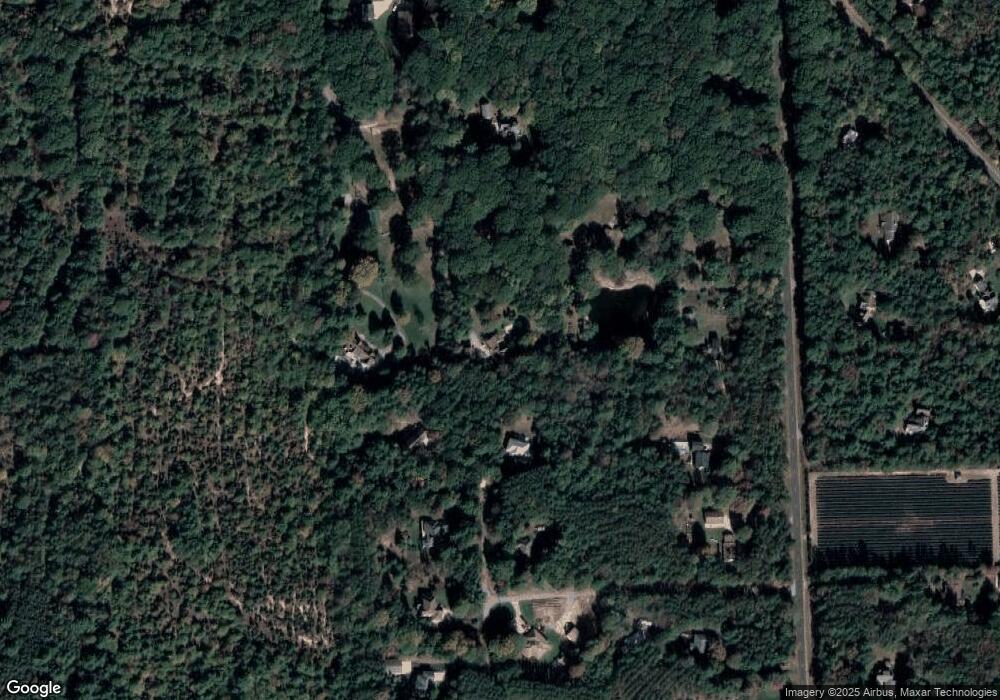
Map
Nearby Homes
- 5285 Lakeshore Dr N
- 16659 Adler Dr
- 17075 Lakeview Ave
- 5577 Timberstone Ln
- VL Blair St
- 0 College Ave
- 4184 Butternut Dr
- VL N Lakeshore Dr
- 0 Port Sheldon St Unit Parcel A 25009245
- 17226 South St
- 192 N 160th Ave
- 14267 Flagstick Ln
- 14236 Phoenix Place
- 4665 Albatross Aly
- 3611 Butternut Dr Unit 285
- 3611 Butternut Dr Unit 276
- 14067 Phoenix Place
- 2948 N 160th Ave
- 14563 Twin Oaks St Unit 23
- 3862 Bent Pine Dr
- 5480 Deer Path
- 16590 Pine Island Dr
- 16589 Pine Island Dr
- 16568 Van Buren St
- 16460 Van Buren St
- 16559 Pine Island Dr
- 16552 Pine Island Dr
- 5379 164th Ave
- 5520 Deer Path
- 5417 164th Ave
- 16549 Pine Island Dr
- 5481 164th Ave
- 16520 Pine Island Dr
- 5341 164th Ave
- 0 164th Ave
- 0 164th Ave Unit 2112772
- 5525 164th Ave
- 16537 Pine Island Dr
- 16516 Van Buren St
- 16500 Van Buren St
Your Personal Tour Guide
Ask me questions while you tour the home.