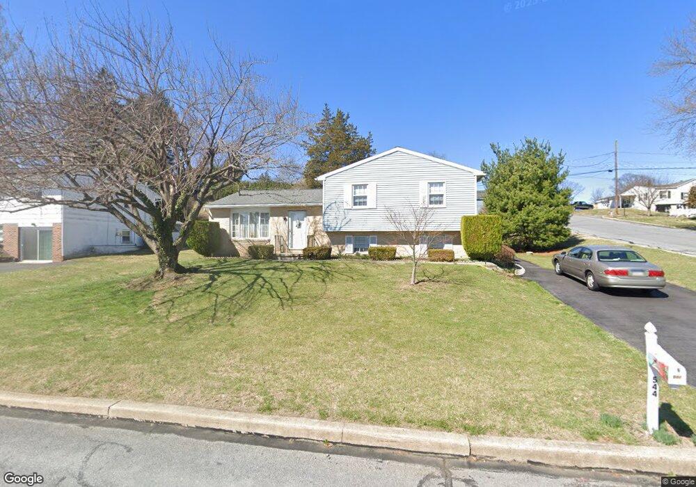
544 Pershing Blvd Reading, PA 19607
Liggett NeighborhoodEstimated Value: $292,863 - $342,000
3
Beds
2
Baths
1,592
Sq Ft
$195/Sq Ft
Est. Value
About This Home
This home is located at 544 Pershing Blvd, Reading, PA 19607 and is currently estimated at $310,466, approximately $195 per square foot. 544 Pershing Blvd is a home located in Berks County with nearby schools including Cumru Elementary School, Governor Mifflin Intermediate School, and Governor Mifflin Middle School.
Ownership History
Date
Name
Owned For
Owner Type
Purchase Details
Closed on
Oct 27, 2025
Sold by
Kull Betty R
Bought by
Kull Betty R
Current Estimated Value
Home Financials for this Owner
Home Financials are based on the most recent Mortgage that was taken out on this home.
Original Mortgage
$435,000
Outstanding Balance
$435,000
Interest Rate
6.34%
Mortgage Type
Reverse Mortgage Home Equity Conversion Mortgage
Estimated Equity
-$124,534
Purchase Details
Closed on
Jul 16, 1984
Bought by
Kull Betty R
Create a Home Valuation Report for This Property
The Home Valuation Report is an in-depth analysis detailing your home's value as well as a comparison with similar homes in the area
Home Values in the Area
Average Home Value in this Area
Purchase History
| Date | Buyer | Sale Price | Title Company |
|---|---|---|---|
| Kull Betty R | -- | Acrisure National Lender Servi | |
| Kull Betty R | -- | -- |
Source: Public Records
Mortgage History
| Date | Status | Borrower | Loan Amount |
|---|---|---|---|
| Open | Kull Betty R | $435,000 | |
| Closed | Kull Betty R | $435,000 |
Source: Public Records
Tax History
| Year | Tax Paid | Tax Assessment Tax Assessment Total Assessment is a certain percentage of the fair market value that is determined by local assessors to be the total taxable value of land and additions on the property. | Land | Improvement |
|---|---|---|---|---|
| 2025 | $1,612 | $90,300 | $30,400 | $59,900 |
| 2024 | $4,155 | $90,300 | $30,400 | $59,900 |
| 2023 | $4,038 | $90,300 | $30,400 | $59,900 |
| 2022 | $3,937 | $90,300 | $30,400 | $59,900 |
| 2021 | $3,859 | $90,300 | $30,400 | $59,900 |
| 2020 | $3,859 | $90,300 | $30,400 | $59,900 |
| 2019 | $3,812 | $90,300 | $30,400 | $59,900 |
| 2018 | $3,744 | $90,300 | $30,400 | $59,900 |
| 2017 | $3,671 | $90,300 | $30,400 | $59,900 |
| 2016 | $1,351 | $90,300 | $30,400 | $59,900 |
| 2015 | $1,351 | $90,300 | $30,400 | $59,900 |
| 2014 | $1,351 | $90,300 | $30,400 | $59,900 |
Source: Public Records
Map
Nearby Homes
- 1605 Farr Rd
- 1428 Liggett Ave
- 1432 Liggett Ave
- 1716 Liggett Ave
- 1622 Meade St
- 1519 Meadowlark Rd
- 1415 Rose Virginia Rd
- 1617 Meadowlark Rd
- 8 Pershing Blvd
- 1635 Meadowlark Rd
- 1100 Wyomissing Blvd
- 311 Lynoak Ave
- 1152 Gregg Ave
- 1504 Old Mill Rd
- 1336 Fern Ave
- 1821 Museum Rd
- 241 Mcclellan St
- 1020 Meade St
- 235 Pennsylvania Ave
- 524 Harding Ave
- 540 Pershing Blvd
- 600 Pershing Blvd
- 533 Funston Ave
- 1500 Ridge Ave
- 536 Pershing Blvd
- 628 Pershing Blvd
- 435 Funston Ave
- 541 Pershing Blvd
- 1506 Ridge Ave
- 532 Pershing Blvd
- 539 Pershing Blvd
- 1463 Scott St
- 537 Pershing Blvd
- 1459 Scott St
- 1508 Ridge Ave
- 630 Pershing Blvd
- 535 Pershing Blvd
- 1455 Scott St
- 528 Pershing Blvd
- 1453 Scott St
Your Personal Tour Guide
Ask me questions while you tour the home.