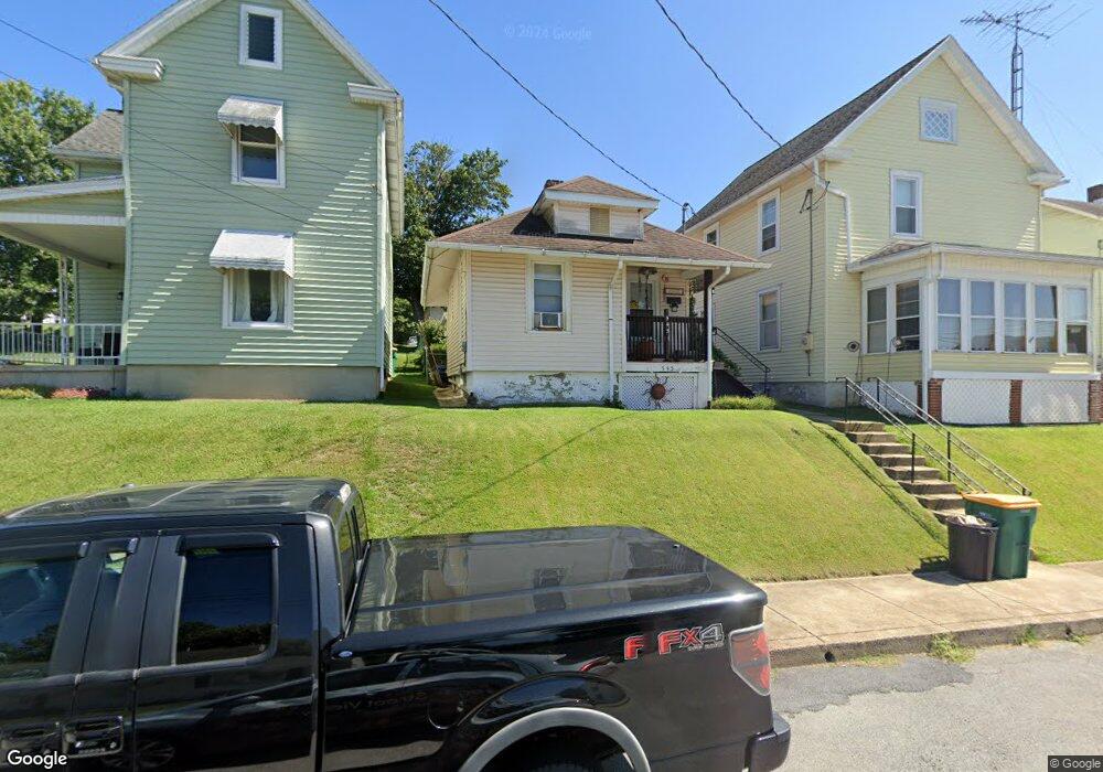
545 Maple St Waynesboro, PA 17268
Estimated Value: $89,923 - $297,000
2
Beds
1
Bath
580
Sq Ft
$298/Sq Ft
Est. Value
About This Home
This home is located at 545 Maple St, Waynesboro, PA 17268 and is currently estimated at $172,731, approximately $297 per square foot. 545 Maple St is a home located in Franklin County with nearby schools including Waynesboro Area Senior High School, Noah's Ark Christian Child Care Center, and St. Andrew Catholic School.
Ownership History
Date
Name
Owned For
Owner Type
Purchase Details
Closed on
Dec 17, 2009
Sold by
Martin Ronald B and Martin Mary B
Bought by
Heaster Lisa A
Current Estimated Value
Home Financials for this Owner
Home Financials are based on the most recent Mortgage that was taken out on this home.
Original Mortgage
$61,224
Outstanding Balance
$39,160
Interest Rate
5%
Mortgage Type
New Conventional
Estimated Equity
$133,571
Purchase Details
Closed on
Sep 25, 2009
Sold by
Varner Christopher A and U S Bank National Association
Bought by
Martin Ronald B and Barkdoll Linda L
Create a Home Valuation Report for This Property
The Home Valuation Report is an in-depth analysis detailing your home's value as well as a comparison with similar homes in the area
Home Values in the Area
Average Home Value in this Area
Purchase History
| Date | Buyer | Sale Price | Title Company |
|---|---|---|---|
| Heaster Lisa A | $60,000 | None Available | |
| Martin Ronald B | $22,500 | None Available |
Source: Public Records
Mortgage History
| Date | Status | Borrower | Loan Amount |
|---|---|---|---|
| Open | Heaster Lisa A | $61,224 |
Source: Public Records
Tax History
| Year | Tax Paid | Tax Assessment Tax Assessment Total Assessment is a certain percentage of the fair market value that is determined by local assessors to be the total taxable value of land and additions on the property. | Land | Improvement |
|---|---|---|---|---|
| 2026 | $607 | $3,350 | $450 | $2,900 |
| 2025 | $607 | $3,350 | $450 | $2,900 |
| 2024 | $592 | $3,350 | $450 | $2,900 |
| 2023 | $579 | $3,350 | $450 | $2,900 |
| 2022 | $561 | $3,350 | $450 | $2,900 |
| 2021 | $532 | $3,350 | $450 | $2,900 |
| 2020 | $528 | $3,350 | $450 | $2,900 |
| 2019 | $518 | $3,350 | $450 | $2,900 |
| 2018 | $489 | $3,350 | $450 | $2,900 |
| 2017 | $479 | $3,350 | $450 | $2,900 |
| 2016 | $96 | $3,350 | $450 | $2,900 |
| 2015 | $89 | $3,350 | $450 | $2,900 |
| 2014 | $89 | $3,350 | $450 | $2,900 |
Source: Public Records
Map
Nearby Homes
- 503 S Potomac St
- 423 S Potomac St
- 824 S Church St
- 346 S Potomac St
- 405 S Broad St
- 243 Ringgold St
- 420 Fairview Ave
- 410 Fairview Ave
- 340 Ridge Ave
- 231 Fairview Ave
- 130 S Broad St
- 164 Hamilton Ave
- 783 3rd St
- 148 Hamilton Ave
- 115 W 2nd St
- 119 Hamilton Ave
- 28 S Church St
- 230 W 2nd St
- 0 Westview Ave
- 430 Abigail Ave
Your Personal Tour Guide
Ask me questions while you tour the home.