5458 Uwharrie Rd High Point, NC 27263
Trinity AreaEstimated Value: $282,000 - $377,000
About This Home
This home is located at 5458 Uwharrie Rd, High Point, NC 27263 and is currently estimated at $323,878, approximately $421 per square foot. 5458 Uwharrie Rd is a home with nearby schools including Trinity Elementary School, Wheatmore Middle School, and Trinity High School.
Ownership History
We collect this data history from publicly available records. To have your information removed, we recommend requesting removal directly through your county’s website.
Purchase Details
Purchase Details
Home Values in the Area
Average Home Value in this Area
Purchase History
We collect this data history from publicly available records. To have your information removed, we recommend requesting removal directly through your county’s website.
| Date | Buyer | Sale Price | Title Company |
|---|---|---|---|
| -- | None Available | ||
| $100,000 | -- |
Mortgage History
We collect this data history from publicly available records. To have your information removed, we recommend requesting removal directly through your county’s website.
| Date | Status | Borrower | Loan Amount |
|---|---|---|---|
| Open | $155,028 |
Tax History
We collect this data history from publicly available records. To have your information removed, we recommend requesting removal directly through your county’s website.
| Year | Tax Paid | Tax Assessment Tax Assessment Total Assessment is a certain percentage of the fair market value that is determined by local assessors to be the total taxable value of land and additions on the property. | Land | Improvement |
|---|---|---|---|---|
| 2025 | $2,739 | $329,930 | $196,510 | $133,420 |
| 2024 | $2,706 | $329,930 | $196,510 | $133,420 |
| 2023 | $2,706 | $329,930 | $196,510 | $133,420 |
| 2022 | $2,126 | $218,050 | $123,750 | $94,300 |
| 2021 | $2,126 | $218,050 | $123,750 | $94,300 |
| 2020 | $2,111 | $218,050 | $123,750 | $94,300 |
| 2019 | $2,111 | $218,050 | $123,750 | $94,300 |
| 2018 | $1,707 | $171,020 | $103,130 | $67,890 |
| 2016 | $1,666 | $171,012 | $103,130 | $67,882 |
| 2015 | $1,670 | $171,012 | $103,130 | $67,882 |
| 2014 | -- | $171,012 | $103,130 | $67,882 |
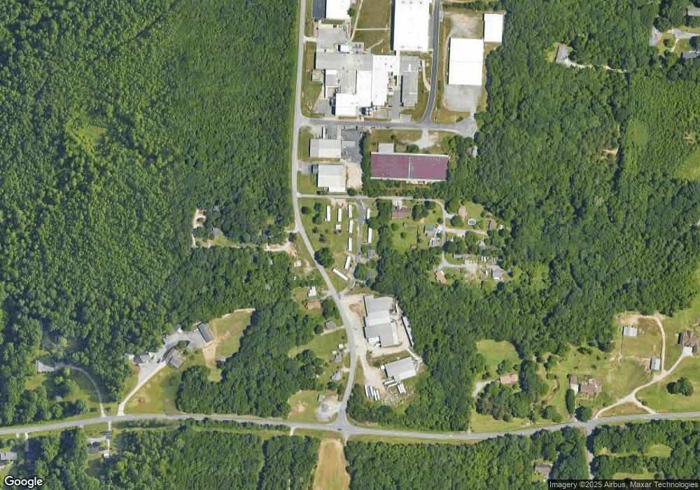
Map
- 5802 Mendenhall Rd
- 5334 Sherrie Dr
- 313 Daniel Paul Dr
- 5168 Brook Cir
- 5491 Rock Valley Dr
- 5487 Rock Valley Dr
- 5441 Uwharrie Rd
- 300 Sealy Dr
- 6352 Turnpike Rd
- 5172 Payne St
- 6147 Mendenhall Place
- 5866 Mendenhall Rd
- 5327 (part of) Rampey St
- 0 Braxton Craven
- 0 Younts View Dr
- 5432 Braxton Craven Rd
- 423 Walnut Grove Rd
- 5388 Braxton Craven Rd
- 5386 Braxton Craven Rd
- 5408 Avery Dr
- 5449 Uwharrie Rd
- 5467 Uwharrie Rd
- 5463 Uwharrie Rd
- 5477 Uwharrie Rd
- 6055 Kello Rd
- 6007 Kello Rd
- 5437 Uwharrie Rd
- 6023 Kello Rd
- 5427 Uwharrie Rd
- 5522 Uwharrie Rd
- 6028 Kello Rd
- 5956 Mendenhall Rd
- 5938 Mendenhall Rd
- 6190 Mendenhall Rd
- 5910 Mendenhall Rd
- 5913 Mendenhall Rd
- 6123 Mendenhall Rd
- 5861 Joan Dr
- 5990 Howard Cir
- 5868 Mendenhall Rd
Ask me questions while you tour the home.