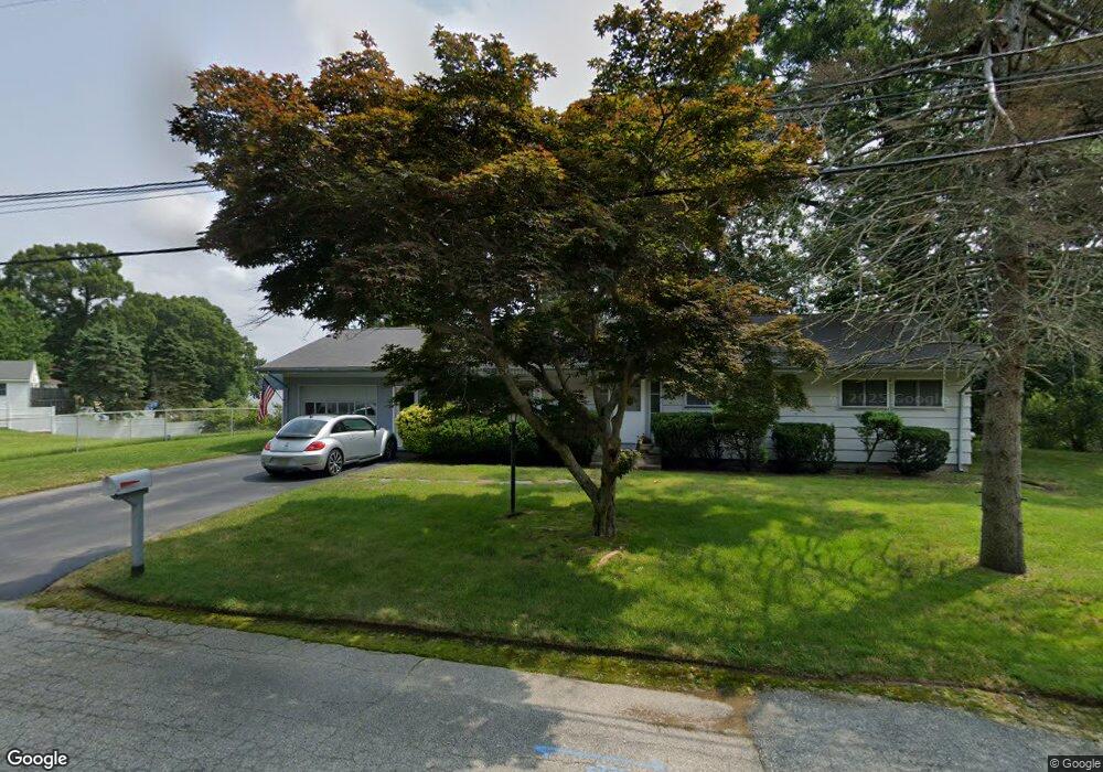
546 Lake Shore Dr Warwick, RI 02889
Hoxie NeighborhoodEstimated Value: $479,000 - $519,000
3
Beds
2
Baths
1,400
Sq Ft
$361/Sq Ft
Est. Value
About This Home
This home is located at 546 Lake Shore Dr, Warwick, RI 02889 and is currently estimated at $505,240, approximately $360 per square foot. 546 Lake Shore Dr is a home located in Kent County with nearby schools including Saint Kevin School and Bishop Hendricken High School.
Ownership History
Date
Name
Owned For
Owner Type
Purchase Details
Closed on
Apr 10, 2000
Sold by
Wyrostek Paul P and Wyrostek Ida C
Bought by
Wyrostek Brent E
Current Estimated Value
Home Financials for this Owner
Home Financials are based on the most recent Mortgage that was taken out on this home.
Original Mortgage
$120,000
Interest Rate
8.3%
Mortgage Type
Purchase Money Mortgage
Create a Home Valuation Report for This Property
The Home Valuation Report is an in-depth analysis detailing your home's value as well as a comparison with similar homes in the area
Home Values in the Area
Average Home Value in this Area
Purchase History
| Date | Buyer | Sale Price | Title Company |
|---|---|---|---|
| Wyrostek Brent E | $150,000 | -- |
Source: Public Records
Mortgage History
| Date | Status | Borrower | Loan Amount |
|---|---|---|---|
| Closed | Wyrostek Brent E | $67,153 | |
| Open | Wyrostek Brent E | $160,000 | |
| Closed | Wyrostek Brent E | $150,000 | |
| Closed | Wyrostek Brent E | $120,000 |
Source: Public Records
Tax History
| Year | Tax Paid | Tax Assessment Tax Assessment Total Assessment is a certain percentage of the fair market value that is determined by local assessors to be the total taxable value of land and additions on the property. | Land | Improvement |
|---|---|---|---|---|
| 2025 | $6,450 | $507,900 | $199,800 | $308,100 |
| 2024 | $5,930 | $409,800 | $155,900 | $253,900 |
| 2023 | $5,815 | $409,800 | $155,900 | $253,900 |
| 2022 | $5,606 | $299,300 | $110,800 | $188,500 |
| 2021 | $5,606 | $299,300 | $110,800 | $188,500 |
| 2020 | $5,606 | $299,300 | $110,800 | $188,500 |
| 2019 | $5,606 | $299,300 | $110,800 | $188,500 |
| 2018 | $4,971 | $239,000 | $99,300 | $139,700 |
| 2017 | $4,837 | $239,000 | $99,300 | $139,700 |
| 2016 | $4,837 | $239,000 | $99,300 | $139,700 |
| 2015 | $5,005 | $241,200 | $118,700 | $122,500 |
| 2014 | $4,838 | $241,200 | $118,700 | $122,500 |
| 2013 | $4,773 | $241,200 | $118,700 | $122,500 |
Source: Public Records
Map
Nearby Homes
- 524 Lake Shore Dr
- 549 Lake Shore Dr
- 531 Lake Shore Dr
- 555 Lake Shore Dr
- 559 Lake Shore Dr
- 552 Lake Shore Dr
- 510 Lake Shore Dr
- 564 Lake Shore Dr
- 509 Lake Shore Dr
- 504 Lake Shore Dr
- 106 Early Ave
- 94 Early Ave
- 497 Lake Shore Dr
- 100 Early Ave
- 490 Lake Shore Dr
- 200 Hilton Rd
- 477 Lake Shore Dr
- 196 Hilton Rd
- 208 Hilton Rd
- 474 Lake Shore Dr
Your Personal Tour Guide
Ask me questions while you tour the home.