5465 Highway 145 Carnesville, GA 30521
Estimated Value: $262,434 - $373,000
About This Home
This home is located at 5465 Highway 145, Carnesville, GA 30521 and is currently estimated at $314,359, approximately $218 per square foot. 5465 Highway 145 is a home located in Franklin County with nearby schools including Franklin County High School.
Ownership History
We collect this data history from publicly available records. To have your information removed, we recommend requesting removal directly through your county’s website.
Purchase Details
Home Financials for this Owner
Home Financials are based on the most recent Mortgage that was taken out on this home.Purchase Details
Purchase Details
Purchase History
We collect this data history from publicly available records. To have your information removed, we recommend requesting removal directly through your county’s website.
| Date | Buyer | Sale Price | Title Company |
|---|---|---|---|
| $130,000 | -- | ||
| -- | -- | ||
| $90,000 | -- |
Mortgage History
We collect this data history from publicly available records. To have your information removed, we recommend requesting removal directly through your county’s website.
| Date | Status | Borrower | Loan Amount |
|---|---|---|---|
| Open | $132,653 |
Tax History
We collect this data history from publicly available records. To have your information removed, we recommend requesting removal directly through your county’s website.
| Year | Tax Paid | Tax Assessment Tax Assessment Total Assessment is a certain percentage of the fair market value that is determined by local assessors to be the total taxable value of land and additions on the property. | Land | Improvement |
|---|---|---|---|---|
| 2025 | $2,038 | $88,217 | $10,398 | $77,819 |
| 2024 | $1,847 | $77,604 | $4,406 | $73,198 |
| 2023 | $1,820 | $70,549 | $4,005 | $66,544 |
| 2022 | $1,642 | $63,642 | $3,115 | $60,527 |
| 2021 | $1,473 | $53,533 | $2,871 | $50,662 |
| 2020 | $1,392 | $50,063 | $2,871 | $47,192 |
| 2019 | $1,345 | $50,063 | $2,871 | $47,192 |
| 2018 | $1,180 | $43,927 | $3,603 | $40,324 |
| 2017 | $1,227 | $43,927 | $3,603 | $40,324 |
| 2016 | $1,160 | $39,753 | $3,603 | $36,150 |
| 2015 | -- | $39,752 | $3,603 | $36,150 |
| 2014 | -- | $32,653 | $3,603 | $29,050 |
| 2013 | -- | $33,222 | $3,603 | $29,619 |
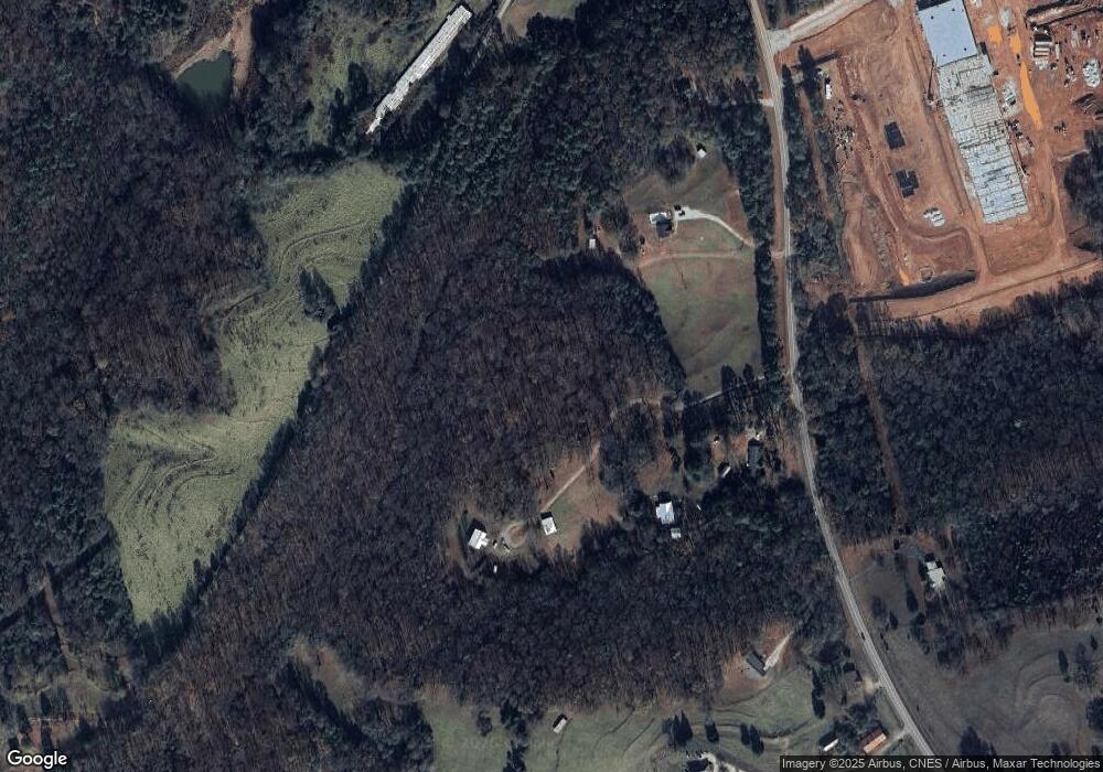
Map
- 173 Andrews Rd
- 563 High Rd
- 2556 Turkey Creek Rd
- 0 Turkey Creek Rd Unit 10671197
- 0 Turkey Creek Rd Unit 26024108
- 735 Bowersville Rd
- 734 Bowersville Rd
- 99 Parker St
- 16067 Highway 59
- 151 Ginn St
- 836 Jackson Bridge Rd
- 160 Georgia 320
- 0 River Ridge Dr Unit 10716943
- 1649 Brays Lake Rd
- 711 Shackelford Rd
- 138 Airport Rd Unit 14
- 174 Airport Rd Unit 12
- 206 Airport Rd Unit 11
- 154 Airport Rd Unit 13
- 5419 Georgia 320
- 5465 Highway 145
- 5465 Hwy 145
- 5435 Highway 145
- 5579 Highway 145
- 5579 Georgia 145
- 5485 Highway 145
- 5653 Highway 145
- 5395 Highway 145
- 5670 Highway 145
- 5289 Highway 145
- 0 Murphy Rd Unit 10585891
- 0 Murphy Rd Unit 7310836
- 5244 Georgia 145
- 5244 Highway 145
- 5244 Highway 145
- 573 Aderhold Rd
- 4935 Highway 145
- 435 Aderhold Rd
- 235 Memory Ln
- 110 Aderhold Rd
Ask me questions while you tour the home.