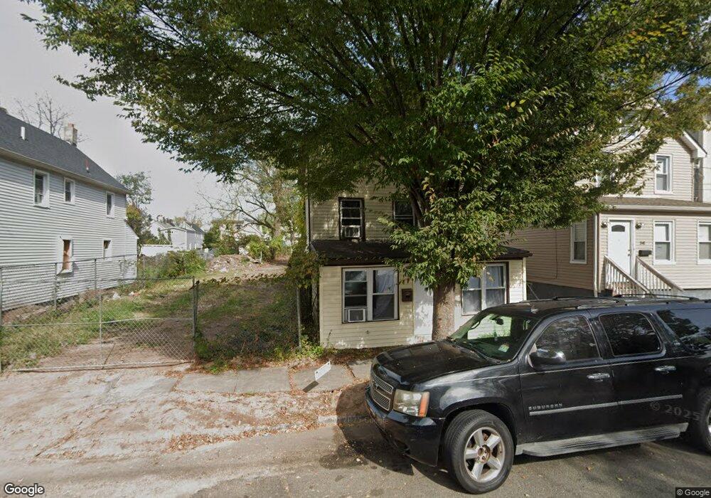
547 Beach St Orange, NJ 07050
Estimated Value: $180,575 - $341,000
Studio
--
Bath
--
Sq Ft
2,570
Sq Ft Lot Lot
About This Home
This home is located at 547 Beach St, Orange, NJ 07050 and is currently estimated at $260,788. 547 Beach St is a home located in Essex County.
Ownership History
Date
Name
Owned For
Owner Type
Purchase Details
Closed on
Jul 3, 2025
Sold by
Essex County Sheriff
Bought by
Nwaiwu Properties Llc and Independent Project Consultant
Current Estimated Value
Purchase Details
Closed on
Oct 17, 2005
Sold by
Salazar Edison
Bought by
Ottoman Assoc Llc
Home Financials for this Owner
Home Financials are based on the most recent Mortgage that was taken out on this home.
Original Mortgage
$175,000
Interest Rate
6.14%
Mortgage Type
Purchase Money Mortgage
Purchase Details
Closed on
Jun 22, 2005
Sold by
Hendricks Robert
Bought by
Salazar Edison
Create a Home Valuation Report for This Property
The Home Valuation Report is an in-depth analysis detailing your home's value as well as a comparison with similar homes in the area
Home Values in the Area
Average Home Value in this Area
Purchase History
We collect this data history from publicly available records. To have your information removed, we recommend requesting removal directly through your county’s website.
| Date | Buyer | Sale Price | Title Company |
|---|---|---|---|
| Nwaiwu Properties Llc | $141,000 | Clear Skies Title | |
| Ottoman Assoc Llc | $110,000 | -- | |
| Salazar Edison | $40,000 | -- |
Source: Public Records
Mortgage History
We collect this data history from publicly available records. To have your information removed, we recommend requesting removal directly through your county’s website.
| Date | Status | Borrower | Loan Amount |
|---|---|---|---|
| Previous Owner | Ottoman Assoc Llc | $175,000 |
Source: Public Records
Tax History
| Year | Tax Paid | Tax Assessment Tax Assessment Total Assessment is a certain percentage of the fair market value that is determined by local assessors to be the total taxable value of land and additions on the property. | Land | Improvement |
|---|---|---|---|---|
| 2025 | $2,964 | $75,800 | $75,800 | -- |
| 2024 | $2,825 | $75,800 | $75,800 | -- |
| 2022 | $2,627 | $75,800 | $75,800 | $0 |
| 2021 | $2,572 | $44,500 | $44,500 | $0 |
| 2020 | $2,495 | $44,500 | $44,500 | $0 |
| 2019 | $2,365 | $44,500 | $44,500 | $0 |
| 2018 | $2,327 | $44,500 | $44,500 | $0 |
| 2017 | $2,167 | $44,500 | $44,500 | $0 |
| 2016 | $2,126 | $44,500 | $44,500 | $0 |
| 2015 | $2,071 | $44,500 | $44,500 | $0 |
| 2014 | $1,980 | $44,500 | $44,500 | $0 |
Source: Public Records
Map
Nearby Homes
- 562 Tremont Ave
- 522 Beach St
- 551 Christopher St
- 557 Christopher St
- 669 Scotland Rd
- 669 Scotland Rd Unit 2
- 567 Mcchesney St
- 622 Tremont Ave
- 585 Mcchesney St
- 509 Argyle Ave
- 668 Lincoln Ave
- 488 Heywood Ave
- 540 Liberty St
- 527 Valley St
- 530 Lincoln Ave
- 545 Liberty St
- 740 Vose Ave Unit C-5
- 579 Nassau St
- 458 Fairview Ave
- 637 Union St
- 538 Tremont Ave
- 540 Tremont Ave
- 544 Tremont Ave
- 546 Tremont Ave
- 1 Berg Place
- 3 Berg Place
- 5 Berg Place
- 552 Tremont Ave
- 9 Tremont Ave
- 558 Tremont Ave
- 533 Tremont Ave
- 537 Tremont Ave
- 541 Tremont Ave
- 534 Christopher St
- 11 Tremont Ave
- 616 Langdon St
- 533 Beach St
- 533 Beach St
- 543 Tremont Ave
- 545 Tremont Ave
Your Personal Tour Guide
Ask me questions while you tour the home.