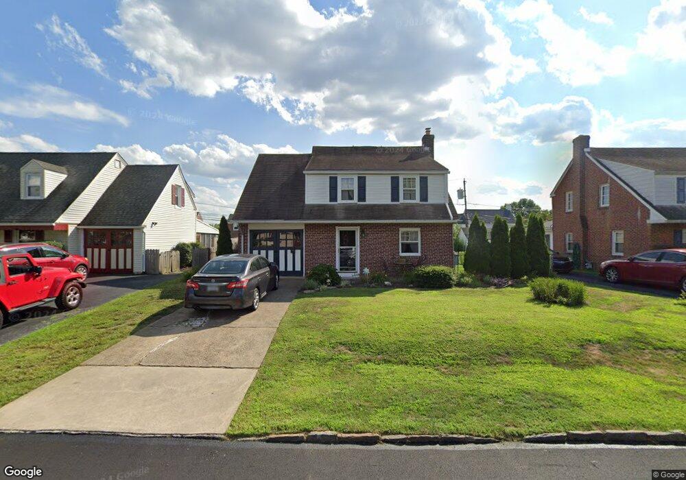
547 Stanbridge Rd Morton, PA 19070
Estimated Value: $366,385 - $429,000
3
Beds
2
Baths
1,529
Sq Ft
$261/Sq Ft
Est. Value
About This Home
This home is located at 547 Stanbridge Rd, Morton, PA 19070 and is currently estimated at $398,346, approximately $260 per square foot. 547 Stanbridge Rd is a home located in Delaware County with nearby schools including Amosland El School, Ridley Middle School, and Ridley High School.
Ownership History
Date
Name
Owned For
Owner Type
Purchase Details
Closed on
Mar 7, 2007
Sold by
Thompson Anna C
Bought by
Kane Leslie
Current Estimated Value
Home Financials for this Owner
Home Financials are based on the most recent Mortgage that was taken out on this home.
Original Mortgage
$160,000
Outstanding Balance
$97,216
Interest Rate
6.33%
Mortgage Type
Purchase Money Mortgage
Estimated Equity
$301,130
Create a Home Valuation Report for This Property
The Home Valuation Report is an in-depth analysis detailing your home's value as well as a comparison with similar homes in the area
Home Values in the Area
Average Home Value in this Area
Purchase History
| Date | Buyer | Sale Price | Title Company |
|---|---|---|---|
| Kane Leslie | $225,000 | None Available |
Source: Public Records
Mortgage History
| Date | Status | Borrower | Loan Amount |
|---|---|---|---|
| Open | Kane Leslie | $160,000 |
Source: Public Records
Tax History
| Year | Tax Paid | Tax Assessment Tax Assessment Total Assessment is a certain percentage of the fair market value that is determined by local assessors to be the total taxable value of land and additions on the property. | Land | Improvement |
|---|---|---|---|---|
| 2025 | $6,718 | $193,490 | $65,680 | $127,810 |
| 2024 | $6,718 | $193,490 | $65,680 | $127,810 |
| 2023 | $6,426 | $193,490 | $65,680 | $127,810 |
| 2022 | $6,220 | $193,490 | $65,680 | $127,810 |
| 2021 | $9,628 | $193,490 | $65,680 | $127,810 |
| 2020 | $6,150 | $108,870 | $33,460 | $75,410 |
| 2019 | $6,038 | $108,870 | $33,460 | $75,410 |
| 2018 | $5,962 | $108,870 | $0 | $0 |
| 2017 | $5,962 | $108,870 | $0 | $0 |
| 2016 | $597 | $108,870 | $0 | $0 |
| 2015 | $610 | $108,870 | $0 | $0 |
| 2014 | $597 | $108,870 | $0 | $0 |
Source: Public Records
Map
Nearby Homes
- 522 Amosland Rd
- 409 Holmes Rd
- 363 Holmes Rd
- 720 Kedron Ave
- 1712 Orchard Ave
- 363 Hutchinson Terrace
- 429 Sutton Ave
- 716 Brooke Cir
- 150 Kedron Ave
- 139 Talbot Ave
- 1907 Pershing Ave
- 202 Green St
- 1828 5th Ave
- 216-218 President Ave
- 623 17th Ave
- 743 Hickory Rd
- 2320 Baldwin Ave
- 2704 Quaint St
- 1629 Lincoln Ave
- 611 Glenfield Ave
- 507 Stanbridge Rd
- 551 Stanbridge Rd
- 543 Stanbridge Rd
- 550 Amosland Rd
- 555 Stanbridge Rd
- 539 Stanbridge Rd
- 546 Amosland Rd
- 554 Amosland Rd
- 546 Stanbridge Rd
- 542 Amosland Rd
- 558 Amosland Rd
- 550 Stanbridge Rd
- 535 Stanbridge Rd
- 581 Holmes Rd
- 538 Amosland Rd
- 562 Amosland Rd
- 554 Stanbridge Rd
- 532 Stanbridge Rd
- 2203 Locust Rd
- 567 Holmes Rd
Your Personal Tour Guide
Ask me questions while you tour the home.