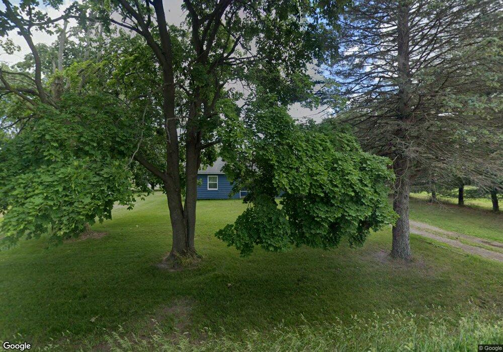
5471 Simpson Rd Owosso, MI 48867
Estimated Value: $150,000 - $250,000
Studio
--
Bath
--
Sq Ft
17,424
Sq Ft Lot
About This Home
This home is located at 5471 Simpson Rd, Owosso, MI 48867 and is currently estimated at $187,398. 5471 Simpson Rd is a home located in Shiawassee County with nearby schools including Owosso High School.
Ownership History
Date
Name
Owned For
Owner Type
Purchase Details
Closed on
Nov 2, 2022
Sold by
Marr Roy W
Bought by
Elrod Howard M
Current Estimated Value
Home Financials for this Owner
Home Financials are based on the most recent Mortgage that was taken out on this home.
Original Mortgage
$130,000
Outstanding Balance
$125,230
Interest Rate
6.7%
Mortgage Type
VA
Estimated Equity
$62,168
Purchase Details
Closed on
Aug 14, 2013
Sold by
Department Of Treasury State Of Michigan
Bought by
Marr Roy William
Create a Home Valuation Report for This Property
The Home Valuation Report is an in-depth analysis detailing your home's value as well as a comparison with similar homes in the area
Purchase History
| Date | Buyer | Sale Price | Title Company |
|---|---|---|---|
| Elrod Howard M | $130,000 | Cislo Title | |
| Marr Roy William | $5,600 | -- |
Source: Public Records
Mortgage History
| Date | Status | Borrower | Loan Amount |
|---|---|---|---|
| Open | Elrod Howard M | $130,000 |
Source: Public Records
Tax History
| Year | Tax Paid | Tax Assessment Tax Assessment Total Assessment is a certain percentage of the fair market value that is determined by local assessors to be the total taxable value of land and additions on the property. | Land | Improvement |
|---|---|---|---|---|
| 2025 | $1,814 | $63,300 | $0 | $0 |
| 2024 | $1,847 | $60,700 | $0 | $0 |
| 2023 | $662 | $57,400 | $0 | $0 |
| 2022 | $425 | $52,100 | $0 | $0 |
| 2021 | $1,755 | $43,200 | $0 | $0 |
| 2020 | $1,738 | $41,500 | $0 | $0 |
| 2019 | $1,706 | $38,700 | $0 | $0 |
| 2018 | $1,706 | $38,200 | $0 | $0 |
| 2017 | $1,481 | $36,700 | $0 | $0 |
| 2016 | -- | $36,700 | $0 | $0 |
| 2015 | -- | $34,800 | $0 | $0 |
| 2014 | $4 | $32,100 | $0 | $0 |
Source: Public Records
Map
Nearby Homes
- 860 Gaiser Rd
- 2930 S Ruess Rd
- 2375 W Dewey Rd
- 1907 Krouse Rd
- 841 N Warren Rd
- 302 Lafayette Blvd
- 1568 Kenneth St
- 539 W Wildwood Dr
- 1507 Lynn St
- 704 Isham St
- 1432 Young St
- 1514 W Stewart St
- 1510 W Stewart St
- 1532 Alta Vista Dr
- 802 Wilkinson St
- 4101 Shaftsburg Rd
- 1408 W Main St
- 1987 N Warren Rd
- 1423 Olmstead St
- 526 S Chipman St
Your Personal Tour Guide
Ask me questions while you tour the home.