5476 Stringer Rd Fruitport, MI 49415
Estimated Value: $261,000 - $282,000
3
Beds
2
Baths
1,615
Sq Ft
$169/Sq Ft
Est. Value
About This Home
This home is located at 5476 Stringer Rd, Fruitport, MI 49415 and is currently estimated at $273,136, approximately $169 per square foot. 5476 Stringer Rd is a home located in Muskegon County with nearby schools including Fruitport High School and Calvary Christian Schools.
Ownership History
Date
Name
Owned For
Owner Type
Purchase Details
Closed on
Sep 15, 2022
Sold by
Roos Robert C
Bought by
Robert Clyde Roos Companion Trust
Current Estimated Value
Purchase Details
Closed on
Aug 9, 2010
Sold by
Grindle Connie Joy Roos
Bought by
Roos Robert C
Create a Home Valuation Report for This Property
The Home Valuation Report is an in-depth analysis detailing your home's value as well as a comparison with similar homes in the area
Home Values in the Area
Average Home Value in this Area
Purchase History
| Date | Buyer | Sale Price | Title Company |
|---|---|---|---|
| Robert Clyde Roos Companion Trust | -- | -- | |
| Robert Clyde Roos Companion Trust | -- | None Listed On Document | |
| Roos Robert C | -- | None Available |
Source: Public Records
Tax History
| Year | Tax Paid | Tax Assessment Tax Assessment Total Assessment is a certain percentage of the fair market value that is determined by local assessors to be the total taxable value of land and additions on the property. | Land | Improvement |
|---|---|---|---|---|
| 2025 | $2,161 | $112,900 | $0 | $0 |
| 2024 | $1,538 | $92,100 | $0 | $0 |
| 2023 | $1,470 | $80,800 | $0 | $0 |
| 2022 | $1,902 | $73,200 | $0 | $0 |
| 2021 | $1,870 | $66,800 | $0 | $0 |
| 2020 | $1,829 | $61,000 | $0 | $0 |
| 2019 | $1,795 | $59,000 | $0 | $0 |
| 2018 | $1,753 | $58,000 | $0 | $0 |
| 2017 | $1,745 | $58,600 | $0 | $0 |
| 2016 | $1,043 | $53,100 | $0 | $0 |
| 2015 | -- | $54,200 | $0 | $0 |
| 2014 | -- | $54,200 | $0 | $0 |
| 2013 | -- | $50,900 | $0 | $0 |
Source: Public Records
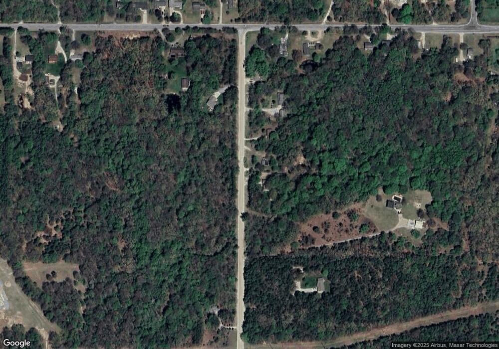
Map
Nearby Homes
- 0 E Pontaluna Rd Unit 25045508
- VL - B E Sternberg Rd
- 4202 E Pontaluna Rd
- 0 E Mount Garfield Rd
- VL Farr Rd
- 2690 Odawa Trail
- VL Lot 3 S Carr Rd
- 293 N 3rd Ave
- 5630 Copper Sands Run
- 2601 Eagle Ridge
- 6218 Sturgeon Run
- 2521 Gray Wolf Way
- 2507 Gray Wolf Way
- 2342 Byerley Dr
- 6268 Sturgeon Run
- 0 S Brooks Rd Unit 1-A 25024373
- 0 S Brooks Rd Unit lot 2-B 25024342
- 6308 Sturgeon Run
- 2489 Gray Wolf Way
- 6326 Sturgeon Run
- 5528 Stringer Rd
- 5454 Stringer Rd
- 5542 Stringer Rd
- 5445 Stringer Rd
- 5434 Stringer Rd
- 3837 E Sternberg Rd
- 3759 E Sternberg Rd
- 3905 E Sternberg Rd
- 5556 Stringer Rd
- 3919 E Sternberg Rd
- 5626 Stringer Rd
- 3969 E Sternberg Rd
- 5655 Stringer Rd
- 3944 E Sternberg Rd
- 3661 E Sternberg Rd
- 3999 E Sternberg Rd
- 3832 E Sternberg Rd
- 3788 E Sternberg Rd
- 3874 E Sternberg Rd
- 3625 E Sternberg Rd
Your Personal Tour Guide
Ask me questions while you tour the home.