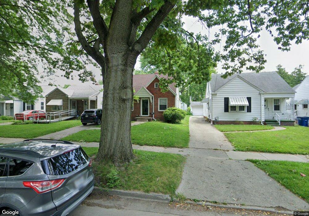
549 Federman St Toledo, OH 43609
Southside NeighborhoodEstimated Value: $62,000 - $99,000
2
Beds
1
Bath
820
Sq Ft
$98/Sq Ft
Est. Value
About This Home
This home is located at 549 Federman St, Toledo, OH 43609 and is currently estimated at $80,551, approximately $98 per square foot. 549 Federman St is a home located in Lucas County with nearby schools including Burroughs Elementary School, Bowsher High School, and Explorers Academy of Science and Technology.
Ownership History
Date
Name
Owned For
Owner Type
Purchase Details
Closed on
Nov 22, 2010
Sold by
Foster Charles K and Foster Patricia A
Bought by
Foster Heidi A
Current Estimated Value
Home Financials for this Owner
Home Financials are based on the most recent Mortgage that was taken out on this home.
Original Mortgage
$31,200
Outstanding Balance
$20,258
Interest Rate
4.19%
Mortgage Type
New Conventional
Estimated Equity
$60,293
Create a Home Valuation Report for This Property
The Home Valuation Report is an in-depth analysis detailing your home's value as well as a comparison with similar homes in the area
Home Values in the Area
Average Home Value in this Area
Purchase History
| Date | Buyer | Sale Price | Title Company |
|---|---|---|---|
| Foster Heidi A | $19,500 | Attorney | |
| Foster Heidi A | $19,500 | None Available |
Source: Public Records
Mortgage History
| Date | Status | Borrower | Loan Amount |
|---|---|---|---|
| Open | Foster Heidi A | $31,200 |
Source: Public Records
Tax History
| Year | Tax Paid | Tax Assessment Tax Assessment Total Assessment is a certain percentage of the fair market value that is determined by local assessors to be the total taxable value of land and additions on the property. | Land | Improvement |
|---|---|---|---|---|
| 2025 | -- | $19,565 | $6,055 | $13,510 |
| 2024 | $618 | $19,565 | $6,055 | $13,510 |
| 2023 | $984 | $14,665 | $3,990 | $10,675 |
| 2022 | $982 | $14,665 | $3,990 | $10,675 |
| 2021 | $1,025 | $14,665 | $3,990 | $10,675 |
| 2020 | $1,073 | $13,580 | $3,675 | $9,905 |
| 2019 | $1,047 | $13,580 | $3,675 | $9,905 |
| 2018 | $1,050 | $13,580 | $3,675 | $9,905 |
| 2017 | $1,074 | $13,300 | $3,605 | $9,695 |
| 2016 | $1,076 | $38,000 | $10,300 | $27,700 |
| 2015 | $1,067 | $38,000 | $10,300 | $27,700 |
| 2014 | $860 | $13,310 | $3,610 | $9,700 |
| 2013 | $860 | $13,310 | $3,610 | $9,700 |
Source: Public Records
Map
Nearby Homes
- 2335 Airport Hwy
- 2052 South Ave
- 415 Mayberry St
- 2019 South Ave
- 333 Danberry St
- 511 S Detroit Ave
- 139 Kenmore Ave
- 518 Colima Dr
- 256 Decatur St
- 2010 Airport Hwy
- 1922 Heatherdale Dr
- 732 Colima Dr
- 635 Wright Ave
- 859 National Ave
- 802 Wright Ave
- 545 Woodsdale Ave
- 1925 Airline Ave
- 142 S Detroit Ave
- 915 Atlantic Ave
- 131 S Detroit Ave
- 545 Federman St
- 553 Federman St
- 543 Federman St
- 557 Federman St
- 537 Federman St
- 535 Federman St
- 550 Danberry St
- 552 Danberry St
- 2230 Dundee St
- 2226 Dundee St
- 556 Danberry St
- 2218 Dundee St
- 2234 Dundee St
- 548 Danberry St
- 540 Danberry St
- 531 Federman St
- 2214 Dundee St
- 560 Federman St
- 536 Danberry St
- 2210 Dundee St
Your Personal Tour Guide
Ask me questions while you tour the home.