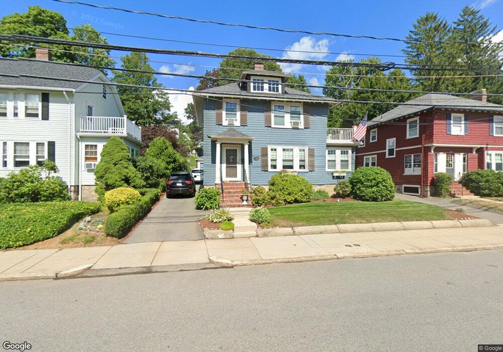
549 Lagrange St West Roxbury, MA 02132
West Roxbury NeighborhoodEstimated Value: $688,000 - $774,106
3
Beds
2
Baths
1,392
Sq Ft
$519/Sq Ft
Est. Value
About This Home
This home is located at 549 Lagrange St, West Roxbury, MA 02132 and is currently estimated at $721,777, approximately $518 per square foot. 549 Lagrange St is a home located in Suffolk County with nearby schools including St Theresa School, Holy Name Parish School, and The Roxbury Latin School.
Ownership History
Date
Name
Owned For
Owner Type
Purchase Details
Closed on
Dec 12, 1991
Sold by
Enders George C and Ling Sally
Bought by
Sullivan Francis X and Sullivan Lisa M
Current Estimated Value
Create a Home Valuation Report for This Property
The Home Valuation Report is an in-depth analysis detailing your home's value as well as a comparison with similar homes in the area
Home Values in the Area
Average Home Value in this Area
Purchase History
| Date | Buyer | Sale Price | Title Company |
|---|---|---|---|
| Sullivan Francis X | $146,000 | -- |
Source: Public Records
Mortgage History
| Date | Status | Borrower | Loan Amount |
|---|---|---|---|
| Open | Sullivan Francis X | $380,000 | |
| Closed | Sullivan Francis X | $230,000 | |
| Closed | Sullivan Francis X | $180,000 |
Source: Public Records
Tax History
| Year | Tax Paid | Tax Assessment Tax Assessment Total Assessment is a certain percentage of the fair market value that is determined by local assessors to be the total taxable value of land and additions on the property. | Land | Improvement |
|---|---|---|---|---|
| 2025 | $7,933 | $685,100 | $220,200 | $464,900 |
| 2024 | $6,750 | $619,300 | $218,400 | $400,900 |
| 2023 | $6,455 | $601,000 | $211,900 | $389,100 |
| 2022 | $5,946 | $546,500 | $192,700 | $353,800 |
| 2021 | $5,551 | $520,200 | $183,500 | $336,700 |
| 2020 | $5,428 | $514,000 | $170,200 | $343,800 |
| 2019 | $5,200 | $493,400 | $146,600 | $346,800 |
| 2018 | $4,788 | $456,900 | $146,600 | $310,300 |
| 2017 | $4,742 | $447,800 | $146,600 | $301,200 |
| 2016 | $4,563 | $414,800 | $146,600 | $268,200 |
| 2015 | $5,218 | $430,900 | $158,600 | $272,300 |
| 2014 | $5,114 | $406,500 | $158,600 | $247,900 |
Source: Public Records
Map
Nearby Homes
- 73 Dent St Unit 2
- 481 Lagrange St
- 183 Temple St
- 84 Hastings St
- 76 Vermont St
- 99 Vermont St
- 42 Sanborn Ave
- 17 Hastings St Unit 4
- 34 Addington Rd
- 37 Pomfret St
- 95 Landseer St
- 990 Vfw Pkwy Unit 204
- 7 Long Terrace
- 154 Brook Farm Rd
- 188 Maple St
- 72 Redlands Rd
- 89 Newfield St
- 1216 Vfw Pkwy Unit 40
- 116 Spring St Unit A8
- 116 Spring St Unit D2
- 553 Lagrange St
- 543 Lagrange St
- 563 Lagrange St
- 59 Potomac St
- 541 Lagrange St
- 63 Potomac St
- 55 Potomac St
- 67 Potomac St
- 558 Lagrange St
- 558 Lagrange St Unit 558
- 558 Lagrange St Unit 1
- 9 Yorktown St
- 5 Yorktown St
- 5 Yorktown St Unit na
- 554 Lagrange St
- 554 Lagrange St Unit 2
- 15 Yorktown St
- 560 Lagrange St
- 71 Potomac St
- 548 Lagrange St
Your Personal Tour Guide
Ask me questions while you tour the home.