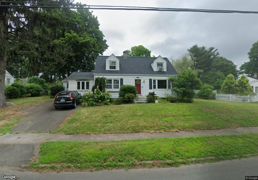
55 Cumpstone Rd Hamden, CT 06518
Estimated Value: $338,000 - $425,000
3
Beds
2
Baths
1,322
Sq Ft
$292/Sq Ft
Est. Value
About This Home
This home is located at 55 Cumpstone Rd, Hamden, CT 06518 and is currently estimated at $386,004, approximately $291 per square foot. 55 Cumpstone Rd is a home located in New Haven County with nearby schools including Hamden Middle School, Hamden High School, and Alphabet Academy - Hamden North Campus.
Ownership History
Date
Name
Owned For
Owner Type
Purchase Details
Closed on
Sep 18, 2001
Sold by
Miranda William and Miranda Maria
Bought by
Roderick Patrick J and Roderick Joni B
Current Estimated Value
Home Financials for this Owner
Home Financials are based on the most recent Mortgage that was taken out on this home.
Original Mortgage
$147,360
Interest Rate
6.99%
Create a Home Valuation Report for This Property
The Home Valuation Report is an in-depth analysis detailing your home's value as well as a comparison with similar homes in the area
Home Values in the Area
Average Home Value in this Area
Purchase History
| Date | Buyer | Sale Price | Title Company |
|---|---|---|---|
| Roderick Patrick J | $184,200 | -- |
Source: Public Records
Mortgage History
| Date | Status | Borrower | Loan Amount |
|---|---|---|---|
| Open | Roderick Patrick J | $115,172 | |
| Closed | Roderick Patrick J | $145,124 | |
| Closed | Roderick Patrick J | $147,360 |
Source: Public Records
Tax History
| Year | Tax Paid | Tax Assessment Tax Assessment Total Assessment is a certain percentage of the fair market value that is determined by local assessors to be the total taxable value of land and additions on the property. | Land | Improvement |
|---|---|---|---|---|
| 2025 | $12,162 | $234,430 | $82,110 | $152,320 |
| 2024 | $8,101 | $145,670 | $48,790 | $96,880 |
| 2023 | $7,996 | $141,820 | $48,790 | $93,030 |
| 2022 | $7,868 | $141,820 | $48,790 | $93,030 |
| 2021 | $7,437 | $141,820 | $48,790 | $93,030 |
| 2020 | $6,939 | $133,490 | $69,720 | $63,770 |
| 2019 | $6,522 | $133,490 | $69,720 | $63,770 |
| 2018 | $6,402 | $133,490 | $69,720 | $63,770 |
| 2017 | $6,042 | $133,490 | $69,720 | $63,770 |
| 2016 | $6,055 | $133,490 | $69,720 | $63,770 |
| 2015 | $6,005 | $146,930 | $77,490 | $69,440 |
| 2014 | $5,867 | $146,930 | $77,490 | $69,440 |
Source: Public Records
Map
Nearby Homes
- 80 Flower Dr
- 110 Dickerman St
- 93 Cannon St
- 2974 Whitney Ave
- 143 S New Rd
- 264 Highland Ave
- 55 Forest St
- 660 Sherman Ave
- 2480 Whitney Ave Unit 16
- 85 Rolling Ridge Rd
- 4 Raccio Park Rd
- 118 Rolling Ridge Rd
- 46 Rainbow Ct
- 155 Colony St
- 151 Colony St
- 142 Washington Ave
- 98 Colonial Dr
- 90 Colonial Dr
- 64 Evergreen Ave
- 737 Shepard Ave
- 67 Cumpstone Rd
- 41 Cumpstone Rd
- 41 Cumpstone Dr
- 56 Cumpstone Dr
- 50 Knob Hill Dr
- 44 Knob Hill Dr
- 75 Cumpstone Dr
- 75 Cumpstone Rd
- 31 Cumpstone Rd
- 46 Cumpstone Dr
- 46 Cumpstone Rd
- 31 Cumpstone Dr
- 56 Cumpstone Rd
- 58 Knob Hill Dr
- 7 Dest Dr
- 38 Cumpstone Rd
- 34 Knob Hill Dr
- 83 Cumpstone Rd
- 21 Cumpstone Rd
- 66 Knob Hill Dr
Your Personal Tour Guide
Ask me questions while you tour the home.