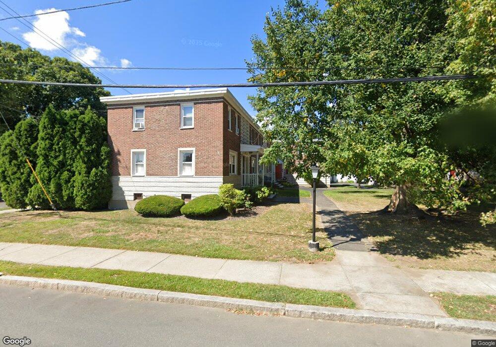
55 Newman Rd Unit 3 Malden, MA 02148
Bellrock NeighborhoodEstimated Value: $246,000 - $307,000
1
Bed
1
Bath
268
Sq Ft
$983/Sq Ft
Est. Value
About This Home
This home is located at 55 Newman Rd Unit 3, Malden, MA 02148 and is currently estimated at $263,443, approximately $982 per square foot. 55 Newman Rd Unit 3 is a home located in Middlesex County with nearby schools including Malden High School, Mystic Valley Regional Charter School, and Cheverus Centennial School.
Ownership History
Date
Name
Owned For
Owner Type
Purchase Details
Closed on
Sep 28, 2018
Sold by
Brian J Aylward
Bought by
Shmelov Denys
Current Estimated Value
Home Financials for this Owner
Home Financials are based on the most recent Mortgage that was taken out on this home.
Original Mortgage
$138,760
Outstanding Balance
$121,570
Interest Rate
4.72%
Estimated Equity
$141,873
Purchase Details
Closed on
Oct 1, 1980
Bought by
Devoe Donald
Create a Home Valuation Report for This Property
The Home Valuation Report is an in-depth analysis detailing your home's value as well as a comparison with similar homes in the area
Home Values in the Area
Average Home Value in this Area
Purchase History
| Date | Buyer | Sale Price | Title Company |
|---|---|---|---|
| Shmelov Denys | $190,000 | -- | |
| Devoe Donald | $16,300 | -- |
Source: Public Records
Mortgage History
| Date | Status | Borrower | Loan Amount |
|---|---|---|---|
| Open | Devoe Donald | $138,760 | |
| Closed | Devoe Donald | -- | |
| Previous Owner | Devoe Donald | $26,000 |
Source: Public Records
Tax History
| Year | Tax Paid | Tax Assessment Tax Assessment Total Assessment is a certain percentage of the fair market value that is determined by local assessors to be the total taxable value of land and additions on the property. | Land | Improvement |
|---|---|---|---|---|
| 2025 | $24 | $210,500 | $0 | $210,500 |
| 2024 | $2,004 | $171,400 | $0 | $171,400 |
| 2023 | $1,858 | $152,400 | $0 | $152,400 |
| 2022 | $1,848 | $149,600 | $0 | $149,600 |
| 2021 | $1,665 | $135,500 | $0 | $135,500 |
| 2020 | $1,655 | $130,800 | $0 | $130,800 |
| 2019 | $1,614 | $121,600 | $0 | $121,600 |
| 2018 | $1,625 | $115,300 | $0 | $115,300 |
| 2017 | $1,254 | $88,500 | $0 | $88,500 |
| 2016 | $1,275 | $84,100 | $0 | $84,100 |
| 2015 | $1,244 | $79,100 | $0 | $79,100 |
| 2014 | $1,241 | $77,100 | $0 | $77,100 |
Source: Public Records
Map
Nearby Homes
- 5 Newman Rd Unit 5
- 120 Wyllis Ave Unit 315
- 120 Wyllis Ave Unit 103
- 120 Wyllis Ave Unit 401
- 82 Medford St Unit 3
- 82 Medford St Unit 2
- 80 Main St Unit 9
- 80 Main St Unit 4
- 83 Pearl St
- 159 Madison St
- 16 Woodville St
- 13-15 Tufts St
- 71 Winslow St
- 139 Bradford St
- 233 Main St
- 320 Middlesex Ave Unit 403 E
- 320 Middlesex Ave Unit B209
- 111 Devir St Unit 204
- 217 Highland Ave Unit 2
- 82 2nd St
- 55 Newman Rd Unit 1
- 55 Newman Rd Unit 4
- 55 Newman Rd Unit 2
- 61 Newman Rd
- 61 Newman Rd Unit 61
- 51 Newman Rd Unit 2
- 51 Newman Rd Unit 4
- 51 Newman Rd Unit 3
- 51 Newman Rd Unit 1
- 51 Newman Rd Unit 51-1
- 130 Green St
- 59 Newman Rd
- 57 Newman Rd
- 63 Newman Rd
- 47 Newman Rd
- 49 Newman Rd
- 45 Newman Rd
- 43 Newman Rd
- 43 Newman Rd Unit 43 Newman Road
- 98 Converse Ave
Your Personal Tour Guide
Ask me questions while you tour the home.