55 Spaulding Rd Collinsville, CT 06019
Estimated Value: $570,000 - $684,000
About This Home
This home is located at 55 Spaulding Rd, Collinsville, CT 06019 and is currently estimated at $640,125, approximately $237 per square foot. 55 Spaulding Rd is a home located in Hartford County with nearby schools including Cherry Brook Primary School, Canton Intermediate School, and Canton Middle School.
Ownership History
We collect this data history from publicly available records. To have your information removed, we recommend requesting removal directly through your county’s website.
Purchase Details
Purchase Details
Home Values in the Area
Average Home Value in this Area
Purchase History
We collect this data history from publicly available records. To have your information removed, we recommend requesting removal directly through your county’s website.
| Date | Buyer | Sale Price | Title Company |
|---|---|---|---|
| $405,000 | -- | ||
| $405,000 | -- | ||
| $159,000 | -- | ||
| $159,000 | -- |
Mortgage History
We collect this data history from publicly available records. To have your information removed, we recommend requesting removal directly through your county’s website.
| Date | Status | Borrower | Loan Amount |
|---|---|---|---|
| Open | $490,000 | ||
| Closed | $355,000 |
Tax History
We collect this data history from publicly available records. To have your information removed, we recommend requesting removal directly through your county’s website.
| Year | Tax Paid | Tax Assessment Tax Assessment Total Assessment is a certain percentage of the fair market value that is determined by local assessors to be the total taxable value of land and additions on the property. | Land | Improvement |
|---|---|---|---|---|
| 2025 | $12,349 | $368,620 | $103,660 | $264,960 |
| 2024 | $12,588 | $368,620 | $103,660 | $264,960 |
| 2023 | $8,852 | $250,260 | $77,410 | $172,850 |
| 2022 | $8,431 | $250,260 | $77,410 | $172,850 |
| 2021 | $8,314 | $250,260 | $77,410 | $172,850 |
| 2020 | $8,156 | $250,260 | $77,410 | $172,850 |
| 2019 | $8,016 | $250,260 | $77,410 | $172,850 |
| 2018 | $8,760 | $285,330 | $82,350 | $202,980 |
| 2017 | $8,700 | $285,330 | $82,350 | $202,980 |
| 2016 | $8,491 | $285,330 | $82,350 | $202,980 |
| 2015 | $8,329 | $285,330 | $82,350 | $202,980 |
| 2014 | $8,149 | $285,340 | $82,360 | $202,980 |
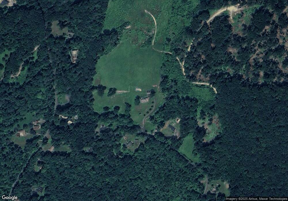
Map
- 82 Indian Hill Rd
- 5 Shingle Mill Dr
- 47 Indian Hill Rd
- 59 Indian Hill Rd
- 6 Eastview Dr
- 38 Thompson Hill Rd
- 15 Mohawk Dr
- 271 Cherry Brook Rd
- 8 Morgan Rd
- 35 Hanson Rd
- 4 Camille Ln
- 19 Camille Ln
- 3 Woodcock Ln
- 15 Rockledge Ln
- 11 Timbercrest Dr
- 22 Bel Aire Ln
- 21 Woodland Dr
- 152 E Hill Rd
- 6 Spoonwood Dr Unit 6
- 30 Spoonwood Dr
- 49 Spaulding Rd
- 58 Spaulding Rd
- 63 Spaulding Rd
- 125 Indian Hill Rd
- 131 Indian Hill Rd
- 131 Indian Hill Rd
- 139 Indian Hill Rd
- 68 Spaulding Rd
- 121 Indian Hill Rd
- 147 Indian Hill Rd
- 31 Spaulding Rd
- 120 Indian Hill Rd
- 155 Indian Hill Rd
- 115 Indian Hill Rd
- 115 Indian Hill Rd Unit RD
- 21 Spaulding Rd
- 105 Indian Hill Rd
- 5 Cedaridge Rd
- 14 Spaulding Rd
- 7 Cedaridge Rd
Ask me questions while you tour the home.