55 Wilson Ct Prince Frederick, MD 20678
Estimated Value: $339,000 - $413,000
Studio
2
Baths
1,708
Sq Ft
$218/Sq Ft
Est. Value
About This Home
This home is located at 55 Wilson Ct, Prince Frederick, MD 20678 and is currently estimated at $372,928, approximately $218 per square foot. 55 Wilson Ct is a home located in Calvert County with nearby schools including Calvert Elementary School, Calvert Middle School, and Calvert High School.
Ownership History
Date
Name
Owned For
Owner Type
Purchase Details
Closed on
Apr 26, 2018
Sold by
Reeves Donald Richard and Reeves Danny Edward
Bought by
Gonzalez Marykatherine Fitzpatrick and Kotz Howard J
Current Estimated Value
Home Financials for this Owner
Home Financials are based on the most recent Mortgage that was taken out on this home.
Original Mortgage
$120,000
Interest Rate
4.6%
Mortgage Type
New Conventional
Purchase Details
Closed on
Feb 18, 2010
Sold by
Reeves Margaret V
Bought by
Reeves Donald Richard
Create a Home Valuation Report for This Property
The Home Valuation Report is an in-depth analysis detailing your home's value as well as a comparison with similar homes in the area
Home Values in the Area
Average Home Value in this Area
Purchase History
We collect this data history from publicly available records. To have your information removed, we recommend requesting removal directly through your county’s website.
| Date | Buyer | Sale Price | Title Company |
|---|---|---|---|
| Gonzalez Marykatherine Fitzpatrick | $150,000 | Maryland Trust Title | |
| Reeves Donald Richard | -- | -- |
Source: Public Records
Mortgage History
We collect this data history from publicly available records. To have your information removed, we recommend requesting removal directly through your county’s website.
| Date | Status | Borrower | Loan Amount |
|---|---|---|---|
| Previous Owner | Gonzalez Marykatherine Fitzpatrick | $120,000 |
Source: Public Records
Tax History
| Year | Tax Paid | Tax Assessment Tax Assessment Total Assessment is a certain percentage of the fair market value that is determined by local assessors to be the total taxable value of land and additions on the property. | Land | Improvement |
|---|---|---|---|---|
| 2025 | $3,193 | $280,933 | $0 | $0 |
| 2024 | $2,985 | $262,100 | $110,700 | $151,400 |
| 2023 | $2,780 | $252,733 | $0 | $0 |
| 2022 | $2,680 | $243,367 | $0 | $0 |
| 2021 | $2,680 | $234,000 | $110,700 | $123,300 |
| 2020 | $2,559 | $231,200 | $0 | $0 |
| 2019 | $2,396 | $228,400 | $0 | $0 |
| 2018 | $2,367 | $225,600 | $110,700 | $114,900 |
| 2017 | $621 | $224,133 | $0 | $0 |
| 2016 | -- | $222,667 | $0 | $0 |
| 2015 | $2,673 | $221,200 | $0 | $0 |
| 2014 | $2,673 | $221,200 | $0 | $0 |
Source: Public Records
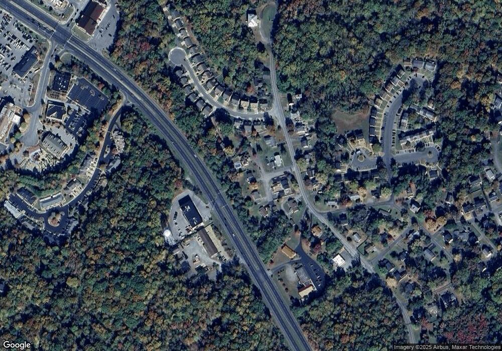
Map
Nearby Homes
- 667 Hawk Hill Dr
- 750 Main St
- 105 Calvert Towne Rd
- 613 Yearling Dr
- 392 Whirlaway Dr
- 252 Rimfire Way
- 635 Tobacco Ridge Rd
- 115 Thoroughbred Dr
- 121 Polo Way
- 23 Gray Inn Ct
- 240 Mason Rd
- 555 English Oak Ln
- 380 Mason Rd
- 0 Armory Rd
- 284 Topher's Trail
- 339 English Oak Ln
- 195 Fairground Rd
- 185 Radio Dr
- 104 Potomac Ct
- 76 Potomac Ct
- 45 Wilson Ct
- 60 Wilson Ct
- 70 Wilson Ct
- 731 Blackbird Ln
- 795 Main St
- 805 Main St
- 785 Main St
- 647 Hawk Hill Dr
- 657 Hawk Hill Dr
- 710 Solomons Island Rd S
- 815 Main St
- 861 Solomons Island Rd S
- 637 Hawk Hill Dr
- 850 Solomons Island Rd N
- 850 Solomons Island Rd S
- 725 Blackbird Ln
- 871 Solomons Island Rd S Unit 865
- 871 Solomons Island Rd S
- 755 Solomons Island Rd S
- 800 Main St
Your Personal Tour Guide
Ask me questions while you tour the home.