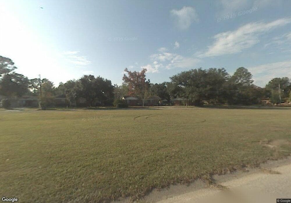
550 E Richardson Dr Mobile, AL 36606
Brookwood NeighborhoodEstimated Value: $192,000 - $266,000
Studio
1
Bath
2,297
Sq Ft
$100/Sq Ft
Est. Value
About This Home
This home is located at 550 E Richardson Dr, Mobile, AL 36606 and is currently estimated at $230,329, approximately $100 per square foot. 550 E Richardson Dr is a home located in Mobile County with nearby schools including Morningside Elementary School, Williamson High School, and St. Pius Catholic School.
Ownership History
Date
Name
Owned For
Owner Type
Purchase Details
Closed on
Aug 4, 2014
Sold by
Calagaz Charles P and Calagaz Patricia S
Bought by
Sharpe Alicia C and Sharpe Clifford C
Current Estimated Value
Purchase Details
Closed on
Jan 18, 2011
Sold by
Mosley G Lyles G and Mosley Alicia C
Bought by
Calagaz Charles P and Calagaz Patricia S
Purchase Details
Closed on
Apr 18, 2002
Sold by
Woolridge Sara P
Bought by
Mosley G Lyles and Mosley Alicia C
Home Financials for this Owner
Home Financials are based on the most recent Mortgage that was taken out on this home.
Original Mortgage
$72,000
Interest Rate
6.89%
Create a Home Valuation Report for This Property
The Home Valuation Report is an in-depth analysis detailing your home's value as well as a comparison with similar homes in the area
Home Values in the Area
Average Home Value in this Area
Purchase History
| Date | Buyer | Sale Price | Title Company |
|---|---|---|---|
| Sharpe Alicia C | $110,000 | None Available | |
| Calagaz Charles P | -- | None Available | |
| Mosley G Lyles | -- | -- |
Source: Public Records
Mortgage History
| Date | Status | Borrower | Loan Amount |
|---|---|---|---|
| Previous Owner | Mosley G Lyles | $72,000 | |
| Closed | Mosley G Lyles | $8,000 |
Source: Public Records
Tax History
| Year | Tax Paid | Tax Assessment Tax Assessment Total Assessment is a certain percentage of the fair market value that is determined by local assessors to be the total taxable value of land and additions on the property. | Land | Improvement |
|---|---|---|---|---|
| 2025 | -- | $23,320 | $3,500 | $19,820 |
| 2024 | $1,245 | $22,550 | $3,750 | $18,800 |
| 2023 | $1,255 | $16,050 | $3,750 | $12,300 |
| 2022 | $953 | $16,050 | $3,750 | $12,300 |
| 2021 | $924 | $15,580 | $3,750 | $11,830 |
| 2020 | $924 | $15,580 | $3,750 | $11,830 |
| 2019 | $941 | $15,870 | $3,880 | $11,990 |
| 2018 | $941 | $15,880 | $0 | $0 |
| 2017 | $952 | $16,040 | $0 | $0 |
| 2016 | $1,115 | $18,620 | $0 | $0 |
| 2013 | $2,498 | $38,960 | $0 | $0 |
Source: Public Records
Map
Nearby Homes
- 552 Magnolia Rd
- 3014 Farcott St
- 420 S Sage Ave Unit 1
- 450 Magnolia Rd
- 3021 Louise Dr N
- 504 W Barksdale Dr
- 2768 Brookwood Dr
- 2755 Kreitner St
- 421 Pennington Cir
- 367 S Sage Ave
- 3006 Pleasant Valley Rd
- 369 Coventry Way
- 361 Coventry Way
- 3114 Angus Dr N
- 960 San Ed Dr
- 1833 Woodcock Place
- 1841 Woodcock Place
- 2901 Grant St Unit 903
- 2901 Grant St Unit 902
- 2901 Grant St Unit 304
- 2805 Marshall Ave
- 558 E Richardson Dr
- 555 E Richardson Dr
- 557 E Richardson Dr
- 2811 Marshall Ave
- 2804 Marshall Ave
- 551 E Richardson Dr
- 2808 Marshall Ave
- 563 E Richardson Dr
- 600 E Richardson Dr
- 2812 Marshall Ave
- 2800 Marshall Ave
- 517 E Richardson Dr
- 601 E Richardson Dr
- 555 W Rosswood Dr
- 2813 Marshall Ave
- 509 W Rosswood Dr
- 605 E Richardson Dr
- 513 E Richardson Dr
- 505 W Rosswood Dr
Your Personal Tour Guide
Ask me questions while you tour the home.