5501 E Foxhaven Dr Port Clinton, OH 43452
Estimated Value: $230,993 - $301,000
2
Beds
1
Bath
864
Sq Ft
$320/Sq Ft
Est. Value
About This Home
This home is located at 5501 E Foxhaven Dr, Port Clinton, OH 43452 and is currently estimated at $276,748, approximately $320 per square foot. 5501 E Foxhaven Dr is a home located in Ottawa County with nearby schools including Bataan Memorial Primary School, Bataan Memorial Intermediate School, and Port Clinton Middle School.
Ownership History
Date
Name
Owned For
Owner Type
Purchase Details
Closed on
Jul 16, 2010
Sold by
Yocum Carroll D
Bought by
Yocum Robin E
Current Estimated Value
Home Financials for this Owner
Home Financials are based on the most recent Mortgage that was taken out on this home.
Original Mortgage
$79,500
Outstanding Balance
$52,882
Interest Rate
4.74%
Mortgage Type
Seller Take Back
Estimated Equity
$223,866
Create a Home Valuation Report for This Property
The Home Valuation Report is an in-depth analysis detailing your home's value as well as a comparison with similar homes in the area
Home Values in the Area
Average Home Value in this Area
Purchase History
| Date | Buyer | Sale Price | Title Company |
|---|---|---|---|
| Yocum Robin E | $80,000 | Hartung Title |
Source: Public Records
Mortgage History
| Date | Status | Borrower | Loan Amount |
|---|---|---|---|
| Open | Yocum Robin E | $79,500 |
Source: Public Records
Tax History
| Year | Tax Paid | Tax Assessment Tax Assessment Total Assessment is a certain percentage of the fair market value that is determined by local assessors to be the total taxable value of land and additions on the property. | Land | Improvement |
|---|---|---|---|---|
| 2024 | $1,964 | $61,923 | $23,643 | $38,280 |
| 2023 | $2,007 | $46,078 | $17,518 | $28,560 |
| 2022 | $1,642 | $46,078 | $17,518 | $28,560 |
| 2021 | $1,639 | $46,080 | $17,520 | $28,560 |
| 2020 | $1,362 | $36,830 | $13,480 | $23,350 |
| 2019 | $1,348 | $36,830 | $13,480 | $23,350 |
| 2018 | $1,346 | $36,830 | $13,480 | $23,350 |
| 2017 | $1,195 | $32,240 | $13,480 | $18,760 |
| 2016 | $1,198 | $32,240 | $13,480 | $18,760 |
| 2015 | $1,203 | $32,240 | $13,480 | $18,760 |
| 2014 | $588 | $32,240 | $13,480 | $18,760 |
| 2013 | $1,179 | $32,240 | $13,480 | $18,760 |
Source: Public Records
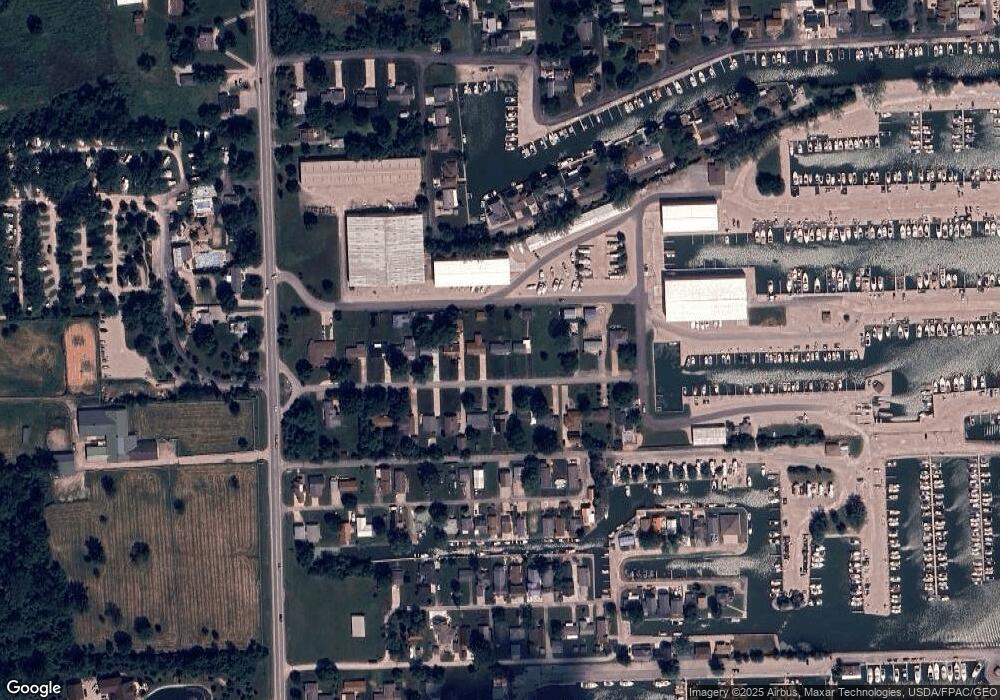
Map
Nearby Homes
- 5411 E Channel Dr
- 2629 NE Catawba Rd
- 2970 N Swift Dr
- 5475 E Mabel Dr
- 2822 N Noreaster Cove Dr
- 2820 N Noreaster Cove Dr Unit 1
- 2888 N Coho Dr
- 5601 E Pittsburgh St
- 5854 E Woodland Dr
- 2914 N Perch Row
- 5054 E Schoolhouse Rd
- 2690 N Canterbury Cir Unit D
- 4862 E Westwinds Dr
- 4873 Tradewinds Dr
- 5784 E Carl Ave
- 2453 N Peachtree Ln Unit Sublot 7
- 3575 NE Catawba Rd Unit 18
- 3575 NE Catawba Rd Unit 29
- 2481 N Peachtree Ln Unit Sublot 6
- 2425 N Peachtree Ln Unit Sublot 8
- 5509 E Foxhaven Dr
- 5493 E Foxhaven Dr
- 0 Foxhaven B Unit 803658
- 5485 E Foxhaven Dr
- 5525 E Foxhaven Dr
- 5477 E Foxhaven Dr
- 5500 E Foxhaven Dr
- 5508 E Foxhaven Dr
- 5492 E Foxhaven Dr
- 5484 E Foxhaven Dr
- 5535 E Foxhaven Dr
- 5469 E Foxhaven Dr
- 5524 E Foxhaven Dr
- 5476 E Foxhaven Dr
- 5461 E Foxhaven Dr
- 5545 E Foxhaven Dr
- 5532 E Foxhaven Dr
- 5468 E Foxhaven Dr
- 5531 E Eagle Dr
- 5541 E Channel Dr
Your Personal Tour Guide
Ask me questions while you tour the home.