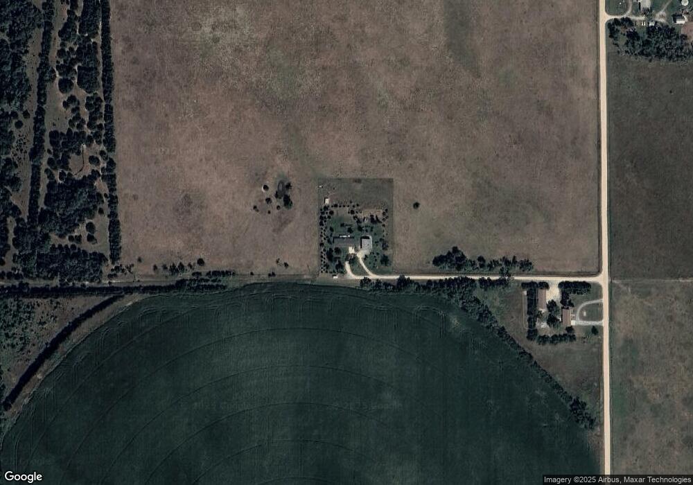
55073 837th Rd Norfolk, NE 68701
Estimated Value: $386,000 - $521,710
3
Beds
3
Baths
1,680
Sq Ft
$272/Sq Ft
Est. Value
About This Home
This home is located at 55073 837th Rd, Norfolk, NE 68701 and is currently estimated at $456,178, approximately $271 per square foot. 55073 837th Rd is a home located in Madison County with nearby schools including Battle Creek Elementary School and Battle Creek High School.
Ownership History
Date
Name
Owned For
Owner Type
Purchase Details
Closed on
Aug 21, 2023
Sold by
Bourn Keith and Bourn Lynn
Bought by
Brungardt Jennifer
Current Estimated Value
Home Financials for this Owner
Home Financials are based on the most recent Mortgage that was taken out on this home.
Original Mortgage
$463,000
Outstanding Balance
$452,741
Interest Rate
6.96%
Mortgage Type
New Conventional
Estimated Equity
$3,437
Purchase Details
Closed on
Jun 26, 2009
Sold by
Heermann Frances
Bought by
Bourn Keith and Bourn Lynn
Home Financials for this Owner
Home Financials are based on the most recent Mortgage that was taken out on this home.
Original Mortgage
$175,600
Interest Rate
4.83%
Mortgage Type
VA
Purchase Details
Closed on
Jun 16, 2009
Sold by
Heerman Frances
Bought by
Bourn Keith and Bourn Lynn
Home Financials for this Owner
Home Financials are based on the most recent Mortgage that was taken out on this home.
Original Mortgage
$175,600
Interest Rate
4.83%
Mortgage Type
VA
Create a Home Valuation Report for This Property
The Home Valuation Report is an in-depth analysis detailing your home's value as well as a comparison with similar homes in the area
Purchase History
| Date | Buyer | Sale Price | Title Company |
|---|---|---|---|
| Brungardt Jennifer | $505,000 | Stewart Title | |
| Bourn Keith | $170,000 | -- | |
| Bourn Keith | $170,000 | None Available |
Source: Public Records
Mortgage History
| Date | Status | Borrower | Loan Amount |
|---|---|---|---|
| Open | Brungardt Jennifer | $463,000 | |
| Previous Owner | Bourn Keith | $175,600 |
Source: Public Records
Tax History
| Year | Tax Paid | Tax Assessment Tax Assessment Total Assessment is a certain percentage of the fair market value that is determined by local assessors to be the total taxable value of land and additions on the property. | Land | Improvement |
|---|---|---|---|---|
| 2025 | $3,476 | $445,525 | $48,800 | $396,725 |
| 2024 | $3,476 | $398,861 | $48,800 | $350,061 |
| 2023 | $4,991 | $363,340 | $41,160 | $322,180 |
| 2022 | $4,647 | $338,271 | $41,160 | $297,111 |
| 2021 | $4,131 | $310,049 | $31,160 | $278,889 |
| 2020 | $4,091 | $310,049 | $31,160 | $278,889 |
| 2019 | $3,788 | $289,006 | $29,400 | $259,606 |
| 2018 | $3,158 | $256,794 | $29,400 | $227,394 |
| 2017 | $2,960 | $237,138 | $28,520 | $208,618 |
| 2016 | $2,818 | $214,913 | $23,520 | $191,393 |
| 2015 | $2,792 | $214,913 | $23,520 | $191,393 |
| 2014 | $2,719 | $193,481 | $17,891 | $175,590 |
| 2013 | $3,175 | $193,104 | $17,514 | $175,590 |
Source: Public Records
Map
Nearby Homes
- 5305 W South Airport Rd
- 0 See Legal Unit 250827
- 5105 W Sherwood Rd
- S 61 ST W Omaha Ave
- W Omaha AVE S 61st St
- 000 836th 1 2 Rd
- 54661 Chardan Dr
- 1109 Sherwood Rd
- 3507 Bradford Ave
- 3407 Bradford Ave
- 3506 Bradford Ave
- 3900 Madison Ave
- 101 Frank Ave
- 0000 S 25th St
- 0 See Legal Unit 260207
- 0 See Legal Unit 260208
- 101 Adealia Ave
- 100 Henry Ave
- 101 Henry Ave
- 100 Helen Ave
Your Personal Tour Guide
Ask me questions while you tour the home.