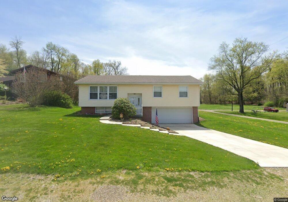
551 Main St Gratiot, OH 43740
Estimated Value: $220,000 - $276,000
About This Home
This home is located at 551 Main St, Gratiot, OH 43740 and is currently estimated at $242,603, approximately $157 per square foot. 551 Main St is a home with nearby schools including West Muskingum Elementary School, West Muskingum Middle School, and West Muskingum High School.
Ownership History
We collect this data history from publicly available records. To have your information removed, we recommend requesting removal directly through your county’s website.
Purchase Details
Purchase History
We collect this data history from publicly available records. To have your information removed, we recommend requesting removal directly through your county’s website.
| Date | Buyer | Sale Price | Title Company |
|---|---|---|---|
| $61,500 | -- |
Tax History
We collect this data history from publicly available records. To have your information removed, we recommend requesting removal directly through your county’s website.
| Year | Tax Paid | Tax Assessment Tax Assessment Total Assessment is a certain percentage of the fair market value that is determined by local assessors to be the total taxable value of land and additions on the property. | Land | Improvement |
|---|---|---|---|---|
| 2025 | $1,741 | $59,605 | $3,955 | $55,650 |
| 2024 | $1,914 | $59,605 | $3,955 | $55,650 |
| 2023 | $1,305 | $40,740 | $2,940 | $37,800 |
| 2022 | $1,307 | $40,740 | $2,940 | $37,800 |
| 2021 | $1,294 | $40,740 | $2,940 | $37,800 |
| 2020 | $1,046 | $33,950 | $2,450 | $31,500 |
| 2019 | $1,043 | $33,810 | $2,450 | $31,360 |
| 2018 | $966 | $33,810 | $2,450 | $31,360 |
| 2017 | $901 | $30,660 | $2,450 | $28,210 |
| 2016 | $910 | $30,660 | $2,450 | $28,210 |
| 2015 | $935 | $30,660 | $2,450 | $28,210 |
| 2013 | $892 | $30,660 | $2,450 | $28,210 |
Map
- 519 Main St
- 721 Sicher Iden Dr
- 18224 Main Rd
- 12955 N Pike Rd
- 11557 Palmer Rd SW
- 11100 Straker Ln
- 0 Mulberry Rd
- 10256 4th St
- 2030 Harden Dr
- 2053 Gard Ln
- PT LOT 24 Gard Ln
- 14687 National Rd SE
- 14687 National Rd
- 16487 Flint Ridge Rd SE
- 16487 Flint Ridge Rd Unit (Lot L Woods Flint R
- 14686 National Rd SE
- 621 Trapp Ln
- 14966 Township Road 30
- 0 Mulberry St NE Unit (Lot N Woods Flint R
- 580 Trapp Ln
Ask me questions while you tour the home.