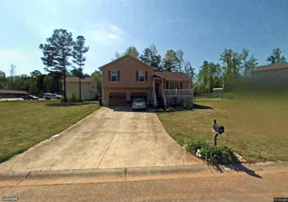
551 Rustin Dr Dallas, GA 30157
Estimated Value: $244,000 - $259,000
About This Home
This home is located at 551 Rustin Dr, Dallas, GA 30157 and is currently estimated at $248,431, approximately $225 per square foot. 551 Rustin Dr is a home located in Paulding County with nearby schools including Union Elementary School, Carl Scoggins Sr. Middle School, and South Paulding High School.
Ownership History
We collect this data history from publicly available records. To have your information removed, we recommend requesting removal directly through your county’s website.
Purchase Details
Purchase Details
Purchase Details
Purchase Details
Purchase Details
Purchase Details
Purchase Details
Purchase Details
Home Values in the Area
Average Home Value in this Area
Purchase History
We collect this data history from publicly available records. To have your information removed, we recommend requesting removal directly through your county’s website.
| Date | Buyer | Sale Price | Title Company |
|---|---|---|---|
| $3,414,000 | -- | ||
| -- | -- | ||
| $7,583,017 | -- | ||
| $30,000 | -- | ||
| $30,000 | -- | ||
| -- | -- | ||
| -- | -- | ||
| $79,900 | -- |
Tax History
We collect this data history from publicly available records. To have your information removed, we recommend requesting removal directly through your county’s website.
| Year | Tax Paid | Tax Assessment Tax Assessment Total Assessment is a certain percentage of the fair market value that is determined by local assessors to be the total taxable value of land and additions on the property. | Land | Improvement |
|---|---|---|---|---|
| 2025 | $2,436 | $97,936 | $12,000 | $85,936 |
| 2024 | $2,436 | $97,936 | $12,000 | $85,936 |
| 2023 | $2,457 | $94,264 | $12,000 | $82,264 |
| 2022 | $2,235 | $85,740 | $12,000 | $73,740 |
| 2021 | $1,853 | $63,760 | $8,000 | $55,760 |
| 2020 | $1,748 | $58,844 | $8,000 | $50,844 |
| 2019 | $1,633 | $54,208 | $8,000 | $46,208 |
| 2018 | $1,398 | $46,396 | $8,000 | $38,396 |
| 2017 | $1,211 | $39,640 | $6,000 | $33,640 |
| 2016 | $1,050 | $34,724 | $6,000 | $28,724 |
| 2015 | $948 | $30,800 | $6,000 | $24,800 |
| 2014 | $557 | $17,648 | $6,000 | $11,648 |
| 2013 | -- | $13,920 | $6,000 | $7,920 |
Map
- 34 Canter Ln
- 564 Rustin Dr
- 436 Rustin Dr
- 0 Rustin Dr Unit 10617842
- 0 Rustin Dr Unit 7657021
- 9083 Buchanan Hwy
- 128 Tanner Dr
- 393 Rc Thompson Rd
- 338 Rc Thompson Rd
- 453 Mulberry Rock Rd
- 391 Mulberry Rock Rd
- 01 Banks Path
- 65 Harmony Woods Dr
- 100 Cynthia Ct
- 8277 Buchanan Hwy
- 43 Pamela Way
- 281 Harmony Woods Dr
- 0 Old Yorkville Rd Unit 10574003
- 232 Cynthia Ct
- 330 Taylor Path
Ask me questions while you tour the home.