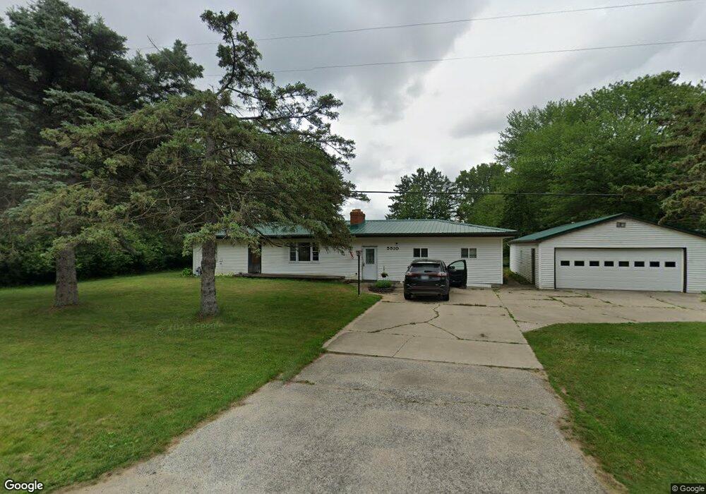
5510 McGrandy Rd Bridgeport, MI 48722
Estimated Value: $167,000 - $198,000
3
Beds
1
Bath
1,260
Sq Ft
$142/Sq Ft
Est. Value
About This Home
This home is located at 5510 McGrandy Rd, Bridgeport, MI 48722 and is currently estimated at $179,048, approximately $142 per square foot. 5510 McGrandy Rd is a home located in Saginaw County with nearby schools including Thomas White School, Martin G. Atkins Elementary School, and Bridgeport-Spaulding Middle School - Martin G. Atkins.
Ownership History
Date
Name
Owned For
Owner Type
Purchase Details
Closed on
May 23, 2008
Sold by
Homesales Inc
Bought by
Galbraith Robert W and Galbraith Christina R
Current Estimated Value
Purchase Details
Closed on
Apr 8, 2008
Sold by
Chase Home Finance Llc
Bought by
Homesales Inc
Purchase Details
Closed on
Apr 13, 2007
Sold by
Saginaw County Deputy Sheriff
Bought by
Chase Home Finance Llc
Purchase Details
Closed on
Apr 22, 2005
Bought by
Esterline Casey J
Home Financials for this Owner
Home Financials are based on the most recent Mortgage that was taken out on this home.
Original Mortgage
$95,000
Interest Rate
6.06%
Mortgage Type
Fannie Mae Freddie Mac
Create a Home Valuation Report for This Property
The Home Valuation Report is an in-depth analysis detailing your home's value as well as a comparison with similar homes in the area
Purchase History
| Date | Buyer | Sale Price | Title Company |
|---|---|---|---|
| Galbraith Robert W | $62,900 | -- | |
| Homesales Inc | -- | -- | |
| Chase Home Finance Llc | $68,900 | -- | |
| Esterline Casey J | $89,300 | -- | |
| Esterline Casey J | $89,300 | Ltic |
Source: Public Records
Mortgage History
| Date | Status | Borrower | Loan Amount |
|---|---|---|---|
| Previous Owner | Esterline Casey J | $95,000 |
Source: Public Records
Tax History
| Year | Tax Paid | Tax Assessment Tax Assessment Total Assessment is a certain percentage of the fair market value that is determined by local assessors to be the total taxable value of land and additions on the property. | Land | Improvement |
|---|---|---|---|---|
| 2025 | $496 | $69,600 | $0 | $0 |
| 2024 | $482 | $69,600 | $0 | $0 |
| 2023 | $459 | $59,200 | $0 | $0 |
| 2022 | $1,626 | $53,900 | $0 | $0 |
| 2021 | $1,497 | $54,000 | $0 | $0 |
| 2020 | $1,454 | $49,800 | $0 | $0 |
| 2019 | $1,383 | $47,000 | $8,700 | $38,300 |
| 2018 | $400 | $42,900 | $0 | $0 |
| 2017 | $1,254 | $42,400 | $0 | $0 |
| 2016 | $1,353 | $37,200 | $0 | $0 |
| 2014 | -- | $37,000 | $0 | $29,300 |
| 2013 | -- | $36,700 | $0 | $0 |
Source: Public Records
Map
Nearby Homes
- 6605 Bridgeport Hwy
- 0001 Dixie Hwy
- 6412 Tin Lizzy Ln
- Parcel E W Rolling Hills Dr
- Parcel B W Rolling Hills Dr
- Parcel D W Rolling Hills Dr
- Parcel F W Rolling Hills Dr
- Parcel C W Rolling Hills Dr
- 6264 Mckinley St
- 6250 Dixie Hwy
- 4333 Riverview Dr
- 4770 King Rd
- 4694 King Rd
- 4654 King Rd
- 3861 Jim Dr
- 3800 Jim Dr
- 5383 Riverview Dr
- 6000 Dixie Hwy
- 0 Dixie Unit 50157060
- 3782 Egan St Unit 3784
- 5500 McGrandy Rd
- 5490 McGrandy Rd
- 5555 McGrandy Rd
- 5560 McGrandy Rd
- 5588 McGrandy Rd
- 5604 McGrandy Rd
- 5604 McGrandy
- 5434 McGrandy Rd
- 5622 McGrandy Rd
- 5414 McGrandy Rd
- 5644 McGrandy Rd
- 5567 McGrandy Rd
- 5660 McGrandy Rd
- 5370 McGrandy Rd
- 5370 McGrandy
- 5680 McGrandy Rd
- 5130 Mcgrady
- 5699 McGrandy Rd
- 5698 McGrandy Rd
- 5698 McGrandy Rd
Your Personal Tour Guide
Ask me questions while you tour the home.